The Riverside Walk.
As I may have said before, Yeovil is not renowned as a place of beauty, but it does have some surprisingly beautiful places within it, if you know where to look. One of those is the Riverside Walk, part of Yeovil Country Park.

If you want a larger version of this map, you can download a PDF of the Yeovil Country Park leaflet here.
The Country Park is made up of five separate areas, all of which I will get to in turn, and each a little urban jewel, but the Riverside Walk is probably the most urban, and even industrial along one edge, and therefore arguably the most jewel-like, in comparison to its surroundings. This is the walk superimposed over a modern street map…

Like previous blog walk destinations Dodham Brook and Sampson’s Wood however, the Riverside Walk doesn’t start off terribly auspiciously, beginning as it does next to Yeovil Pen Mill Station…

…the local sewage works…

…Pittards leather factory…
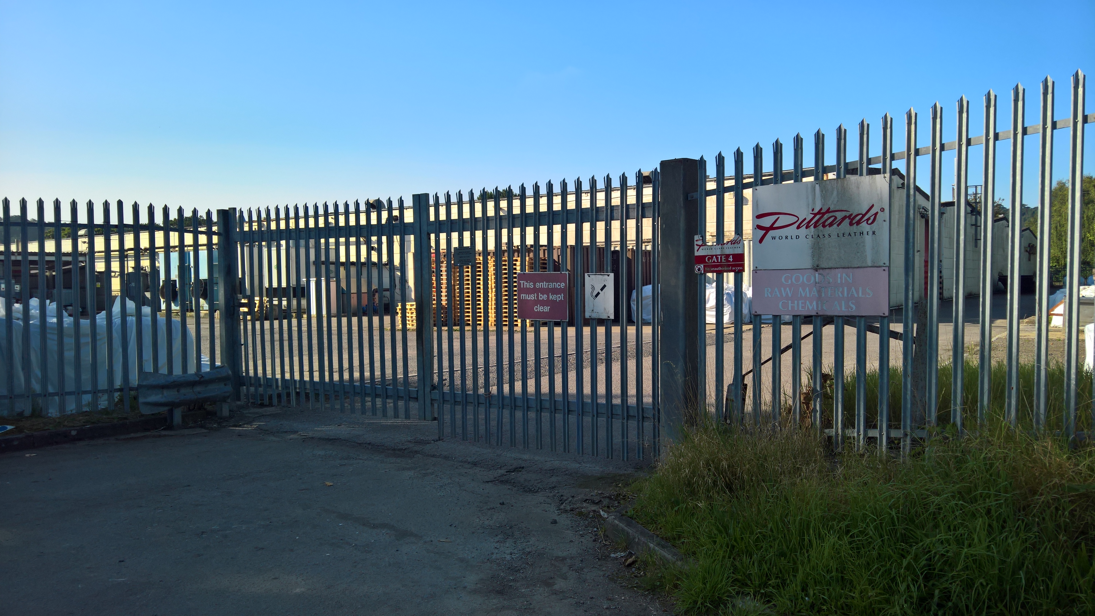
…and an overgrown former storage yard.

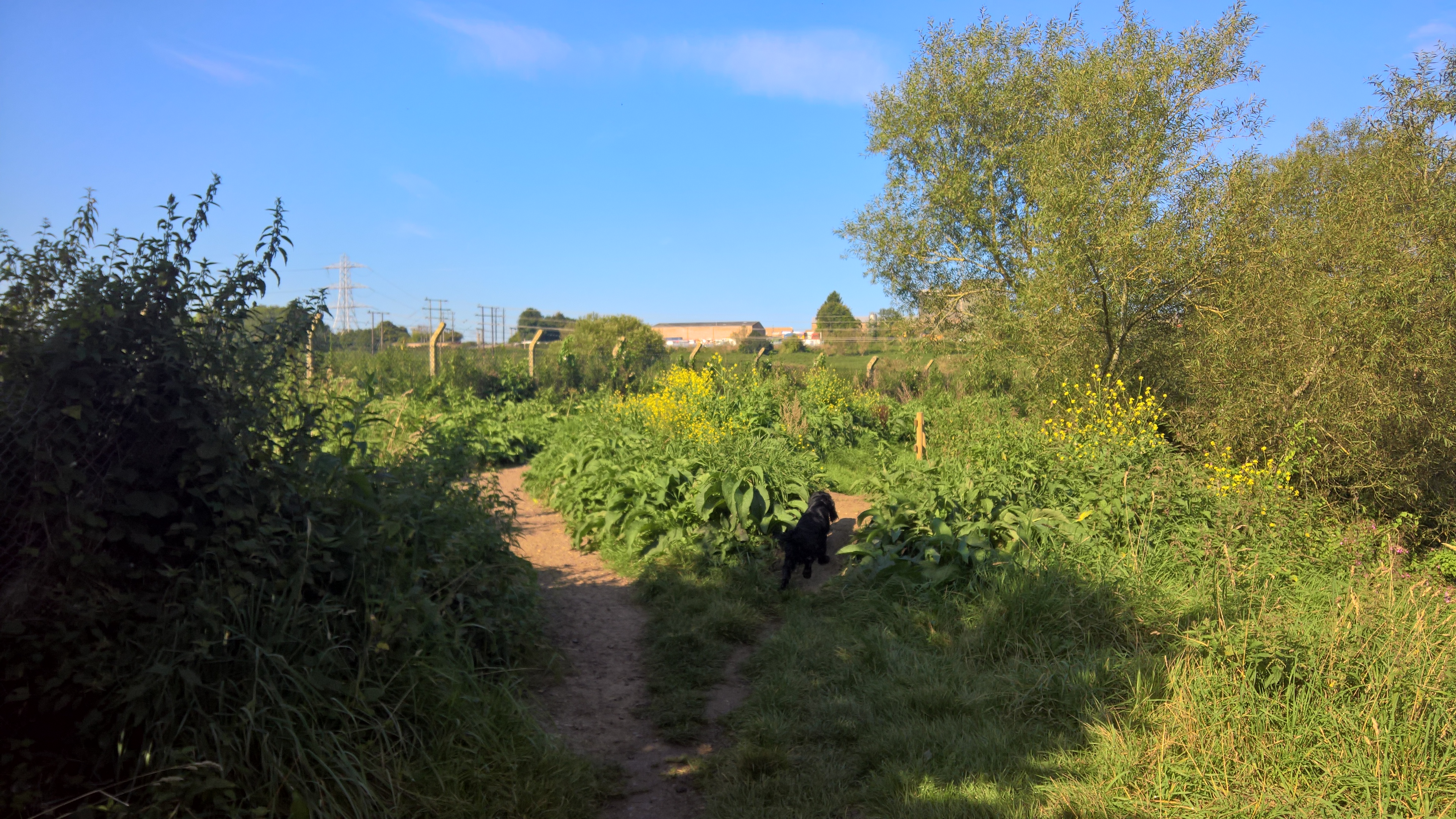
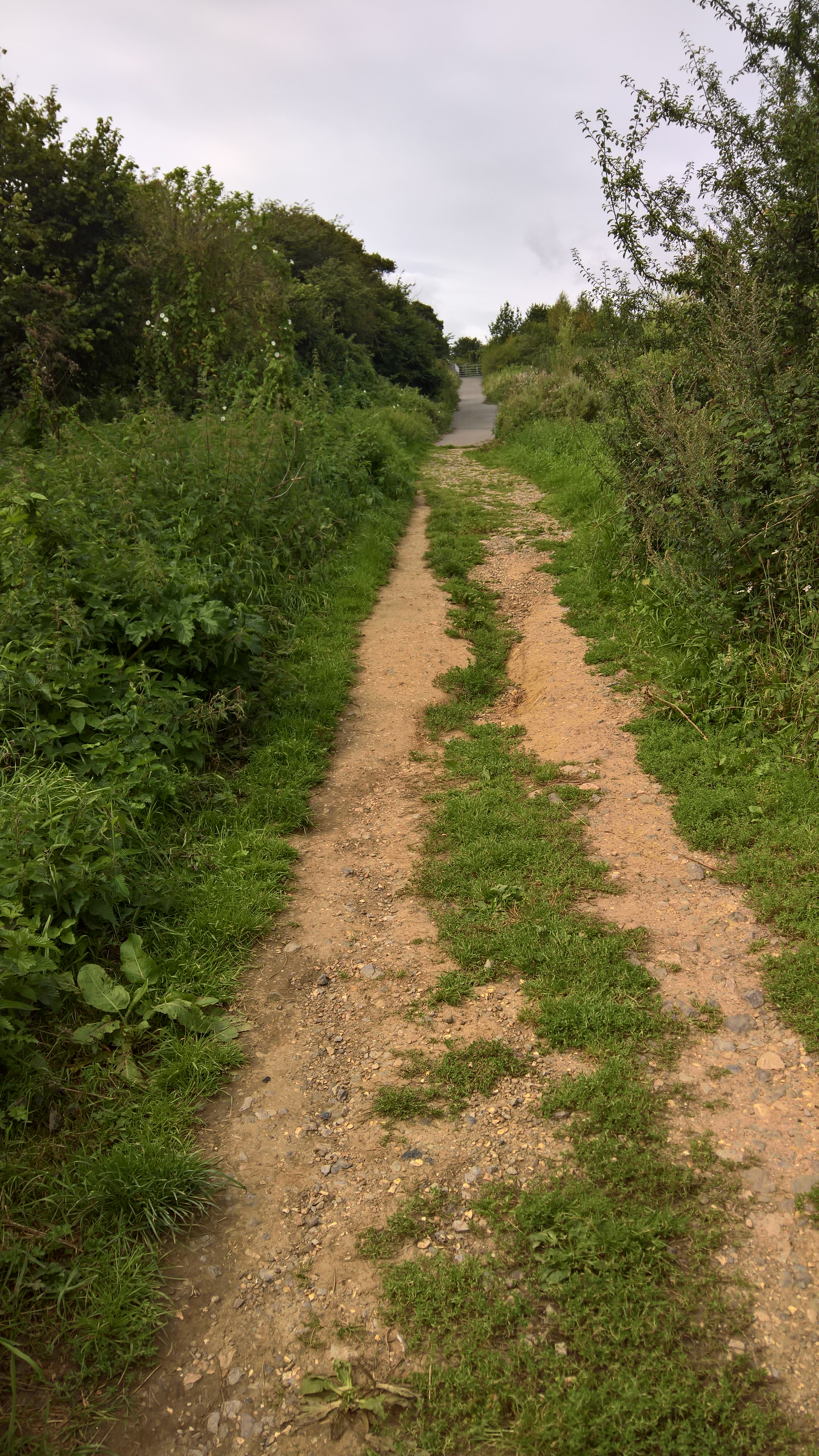
But once you’re through the gate, it begins to look a little less urban and a little more rural.
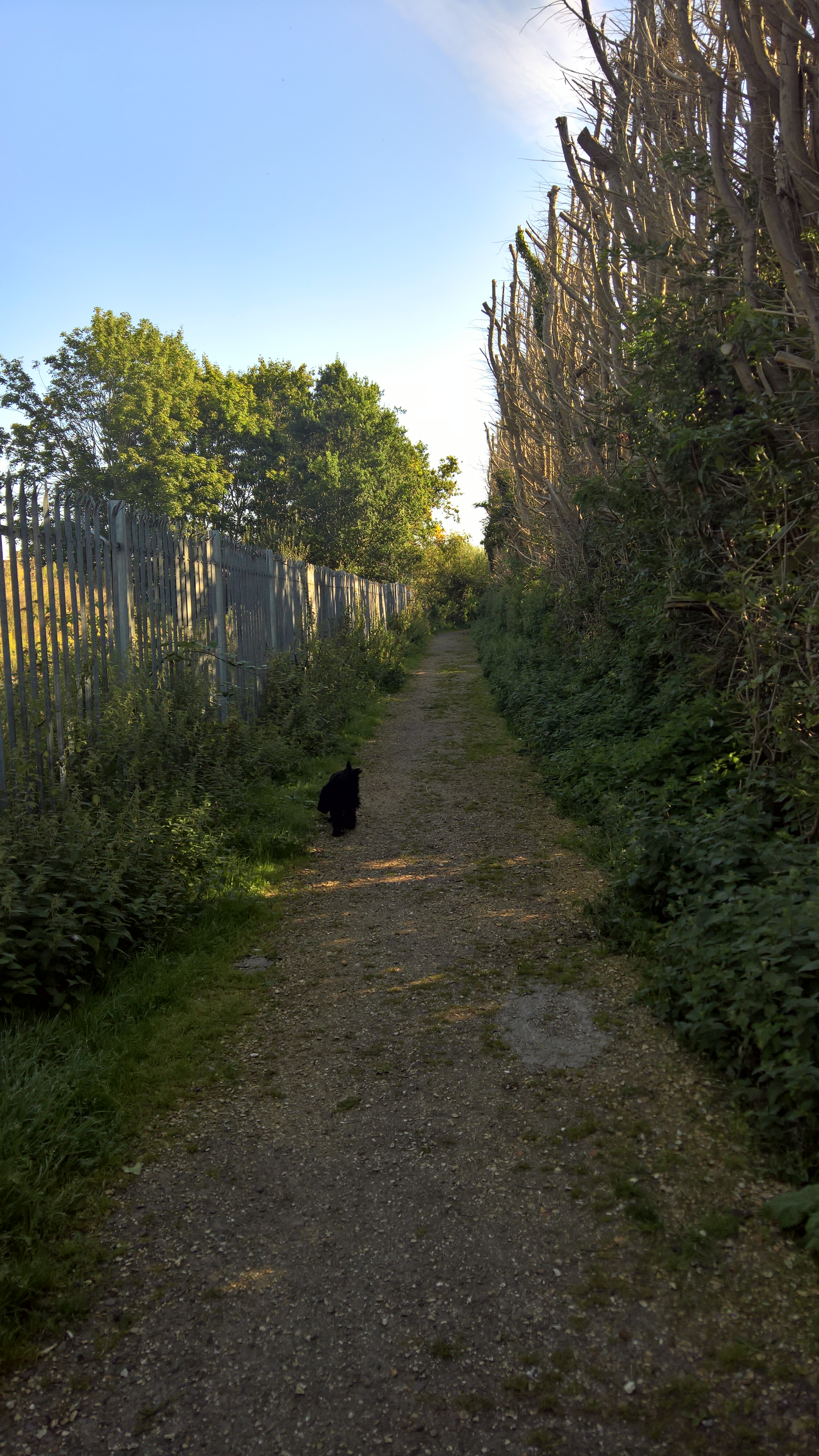
I say a little, because the initial path is bordered on one side by the beginnings of Pen Mill industrial estate and the barely shielded sewage works on the other. The fir trees used to be a lot bushier, and hid the sewage works quite well, but then they got too tall, and branches would regularly get broken off by the wind, so Wessex Water, who own the sewage works, lopped the tops off them, and now they barely shield anything.
But bear with it – it gets a whole lot better. In fact, thanks no doubt to the sewage works, come spring this path is the gathering place for a large proportion of Yeovil’s incoming House Martins, Swallows, and especially Swifts, which swarm around the overabundance of insects in their hundreds, sometimes barely missing your head as you walk underneath them. It’s quite an experience!
From spring onwards you’ll also hear more bird song along here than possibly in the whole of Yeovil, with Chiffchaffs, Robins, Dunnocks, Wrens, Thrushes, Blackcaps and a whole lot more all competing exquisitely for airspace.
Before I go any further, I must give thanks as ever for the historical information to Bob Osborn and his amazing A-Z of Yeovil History website. If you’re interested in what the town and its environs has looked like over the years, and centuries, you need go no further. Particularly relevant to this walk is this page within his ‘Fields and Field Names of Yeovil’, a massive undertaking that is Bob’s current project, and the overlaid Tithe Map of 1842 (scroll down on the page) that shows the individual fields that make up most of the Riverside Walk.
So, a little history. From at least Saxon times until at least the 16th century this whole area formed the East Field of the great Manor of Kingston that is mentioned in the Domesday Book. The stream that Bob thinks marked the boundary of the East Field is indeed no longer above ground, but its path is still there, as a narrow corridor of greenery that weaves its way unnoticed through the vast post 1970s north Yeovil estate. But that’s another walk!
By the way, ‘Brickyard Lane’ is what is now St Michael’s Avenue, while ‘Meadway’ is what is now the beginnings of Lyde Road. Thanks again to Bob for this map.

Kingston Manor House itself, which once stood on the site of what is now Yeovil District Hospital, had been inherited from George Bragg Prowse by his son Captain William Jones Prowse RN, who seems to have had no family, and later sold it to glove manufacturer Thomas Dampier (no relation to William Dampier, the buccaneer, after whom the Wetherspoon’s pub is named). When Thomas died, his son Thomas William ‘Willie’ and daughter Elizabeth ‘Bessie’ moved into Kingston Manor House. Neither married, and on Willie’s death in 1916 he bequeathed his holdings to the town.
However, by then the Prowse family owned almost none of the original manorial holdings. By 1813, a great deal of the great East Field was owned by one William Row (sometimes Rowe), of whom I as yet know very little, although research is as ever ongoing. But by the time of the Tithe Survey he had died, and had bequeathed his lands to numerous people, principally Captain Prowse, a John Pitcher, who he calls his ‘natural son’ in his will (which can mean anything from illegitimate son to son-in-law, not sure which he was yet), and William Hawker Helyar of East Coker, who was one of the many local landowners who petitioned Parliament in 1846, complaining about the proposed railway that was being planned to run over their lands. Presumably by the time the great housing estates of north Yeovil began to be built in the 1960s, the lands were owned by the Council, but who they bought them from I don’t yet know.

As you can see from these aerial photos taken by the RAF for the Ordnance Survey between 1946 and 1948 (and superimposed over a current street map to the best of my ability!) the area now covered by the walk (the red dotted line) was almost entirely fields, and hardly a tree in sight. But from 1888 the County Council started to buy up the land that would became the walk, finally completing the purchase in 1972 when they bought the remaining holdings of Great Lyde Farm. Then from the mid 70s Lyde Road was extended to the Mudford Road, the thousands of houses that now sit north of St John’s Road began to be built – some of which were designed by the very same Bob Osborn in fact! – and more recently those of the Wyndham Park development to the east of Lyde Road.
According to the Countryside Team, aside from the old trees that lie alongside the railway line, most of the trees in the wooded area were planted around twenty years ago by their previous Arboricultural Officer, although more have seeded themselves of course. Which means that, apart from the river path, which would always have had trees along it, most of this was still fields until relatively recently.
As you can see in this higher definition version of the photos, the beginning of the walk goes through what was once hundreds, possibly thousands of allotments, and there are even more to the north of the railway line – a huge area of small-scale productivity!

The northern allotments were created around the turn of the 20th century when the houses of Camborne Grove, Place and Street were built, and remained there until the Pen Mill Industrial Estate was built in the late 50s. The southern allotments were still marked on maps until the late 70s, but at some point after that were taken over by the sewage works.
You’ll notice on the aerial overlays that beyond the allotments there is what looks like a path with a line of trees along part of it. In fact, this isn’t a path, it’s the Victorian drainage channel for the railway, most of which has either gone or is in a pipe underground – at the point of writing I’m not sure which. Judging by the maturity of these trees on the map, they are probably of the same age as the railway, which opened in Yeovil in 1853. Fortunately, almost all of them still seem to be there – although some of them are quite well hidden – which makes them possibly over a hundred and fifty years old!
This is one of the original trees, a magnificent Alder.

There are also two lines of Poplars, which can only really be seen from a distance – like from our bedroom window in fact…


On the old maps – this one is from 1904 – there is a line that equates to the drainage channel, with other lines coming off it and into the river that were once outlets, but more of those later.

A few caveats: my photos were taken in the summer, but you should know that come autumn, and winter, or frankly any period of more than a few days’ rain, this walk gets pretty muddy, and wellingtons are highly advised.
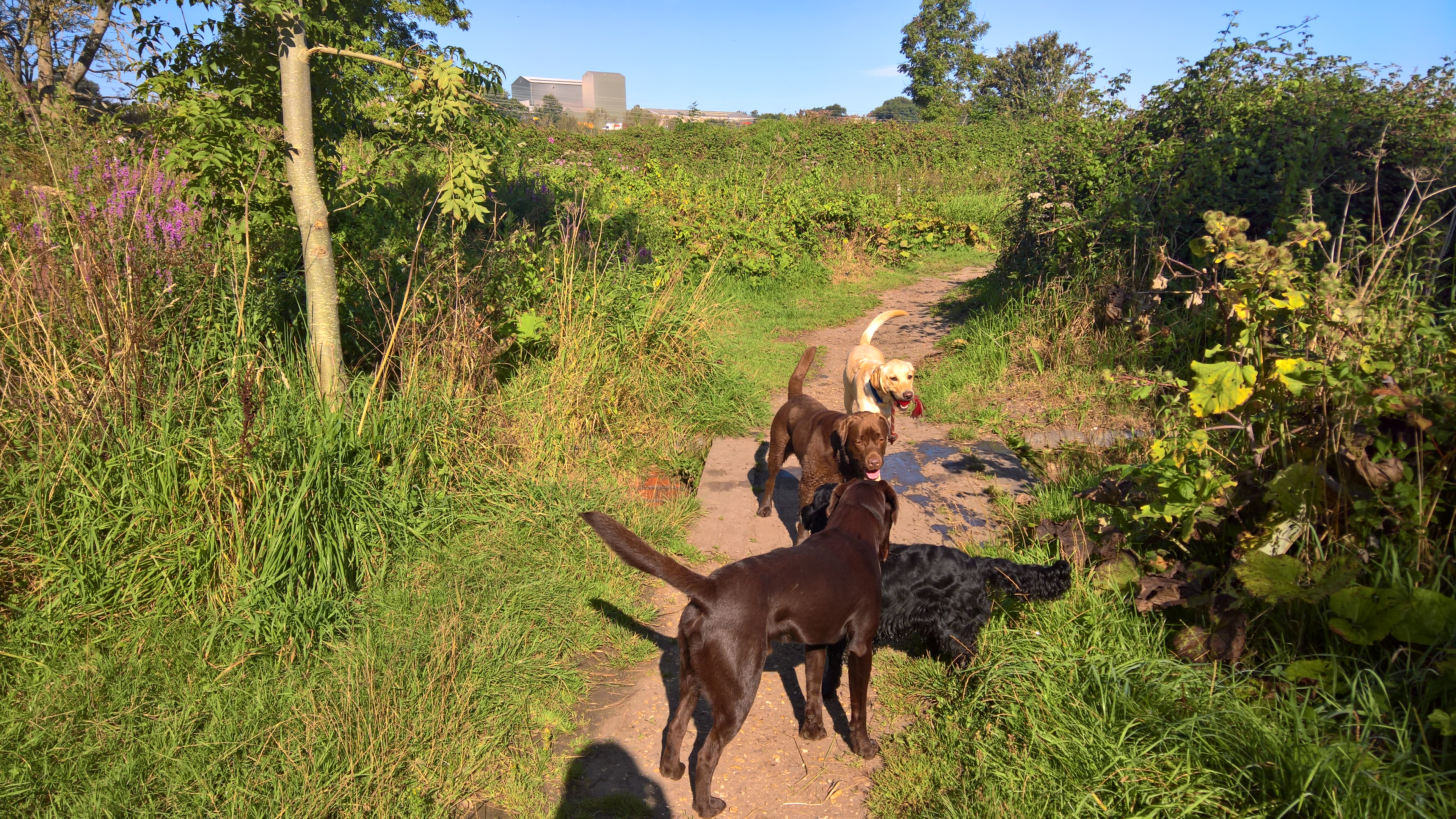
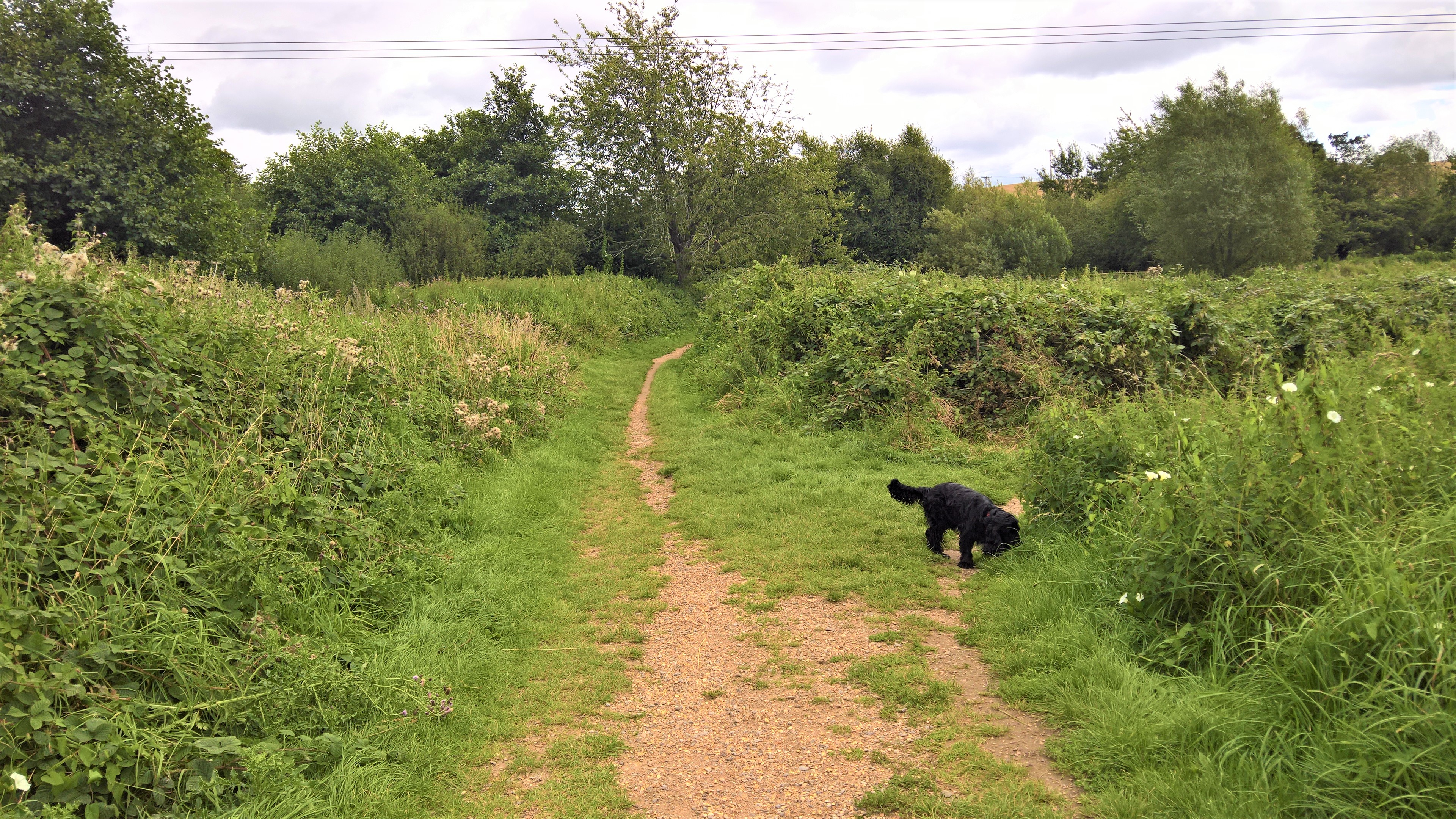
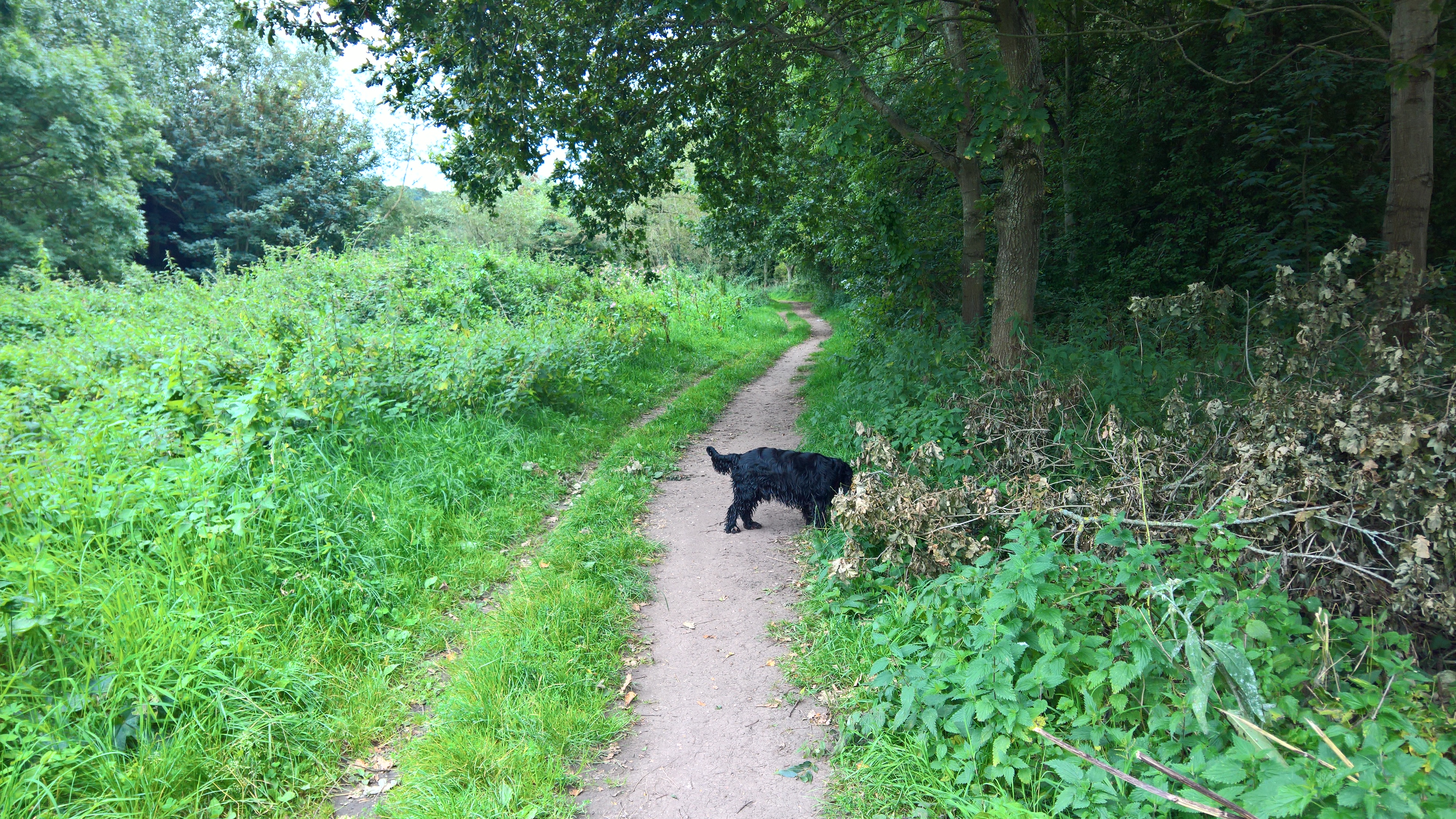
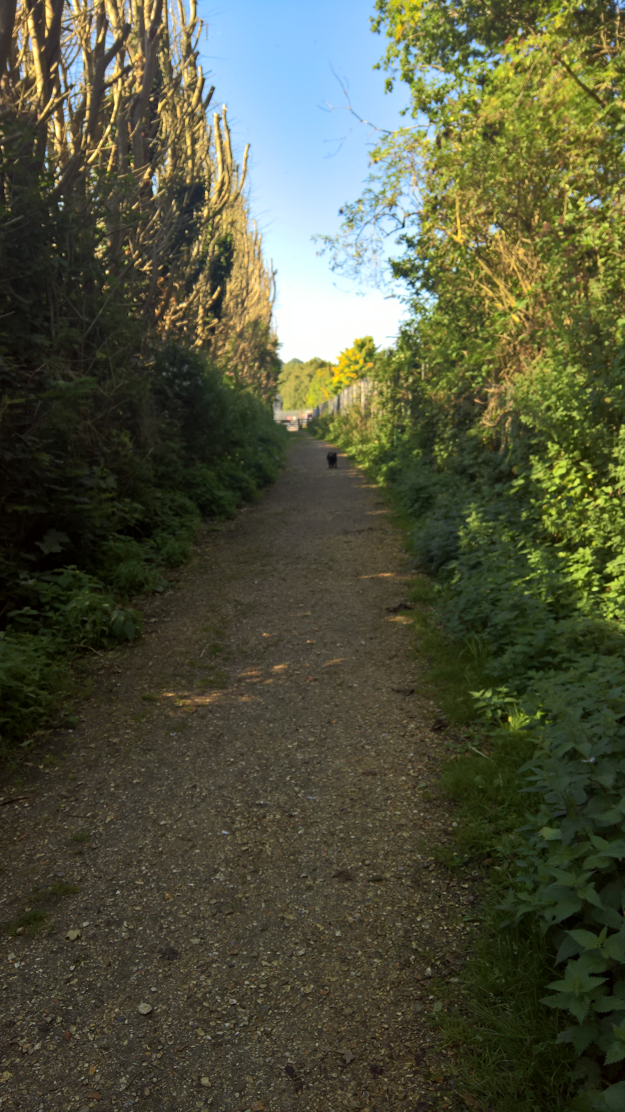
Whatever time of year though this is a wonderful place to walk, and dog owners will soon find that their faithful friends will meet many friends of their own, both old…

…and new…
…but just be aware, the dog poo bin in the picture below is the last you’ll see until you get to the other end!

You should also be aware of this little muddy hole, a canine favourite, and even in very dry weather it is still a source of lovely mud for those pooches that know where it is. But anyway, don’t worry, there are plenty of opportunities for them to wash the mud off in the river along the way.

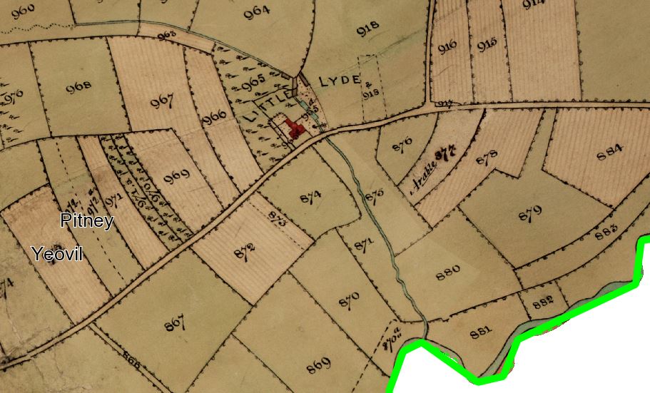
This isn’t actually anything to do with either the railway drainage channel or the newer drainage from the Pen Mill estate, but instead the end, and possibly all that remains of a stream that once flowed towards the river from Little Lyde Farm to the north, which sat on the site of what is now Howard Road Park, off Lyde Road. Right up until the 1960s, Yeovil’s housing only extended north here as far as Roseberry Avenue. This is from the 1842 Tithe Map.
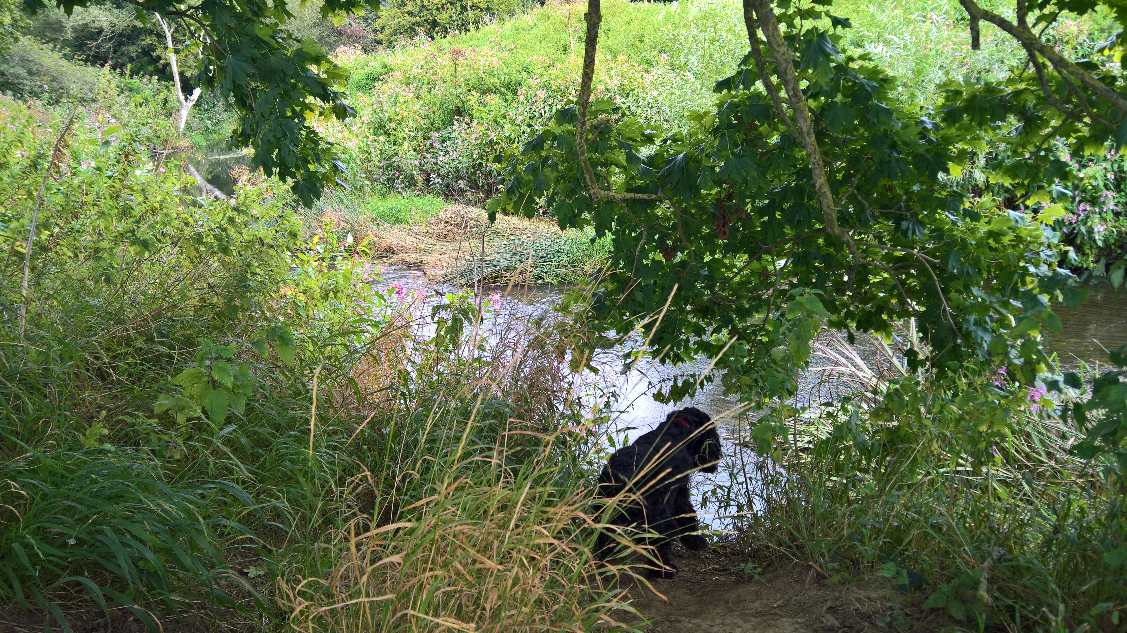
On a subsequent trip, however, I found what I thought was the actual end of the stream, after crunching through more undergrowth. However, it’s not, but actually where the Pen Mill estate drainage enters the river,
somewhere just beyond this picture…

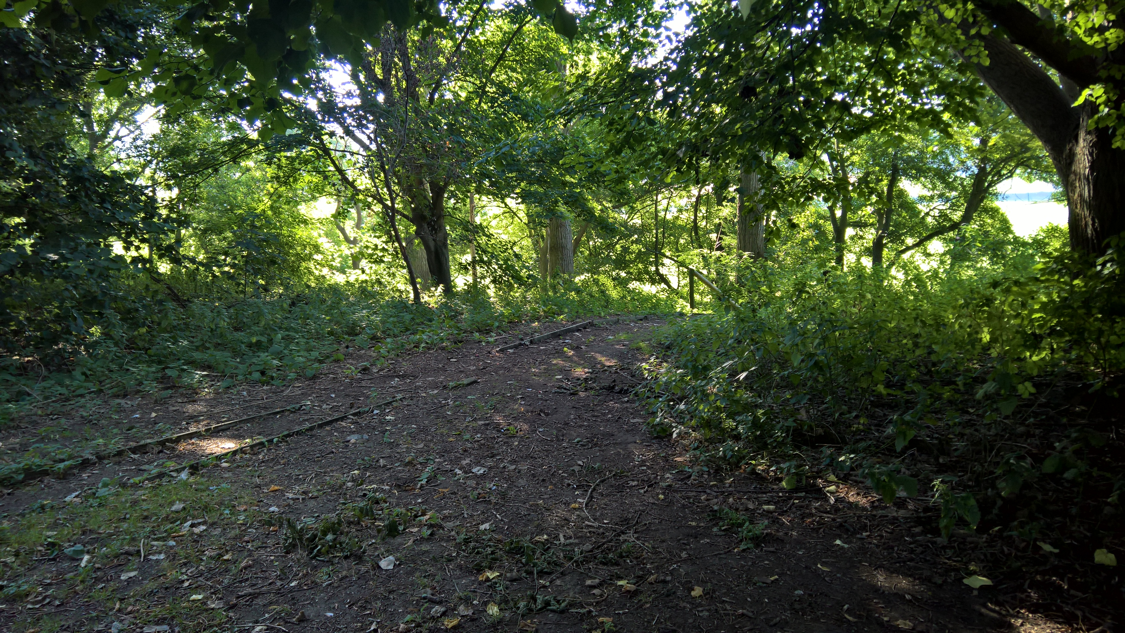
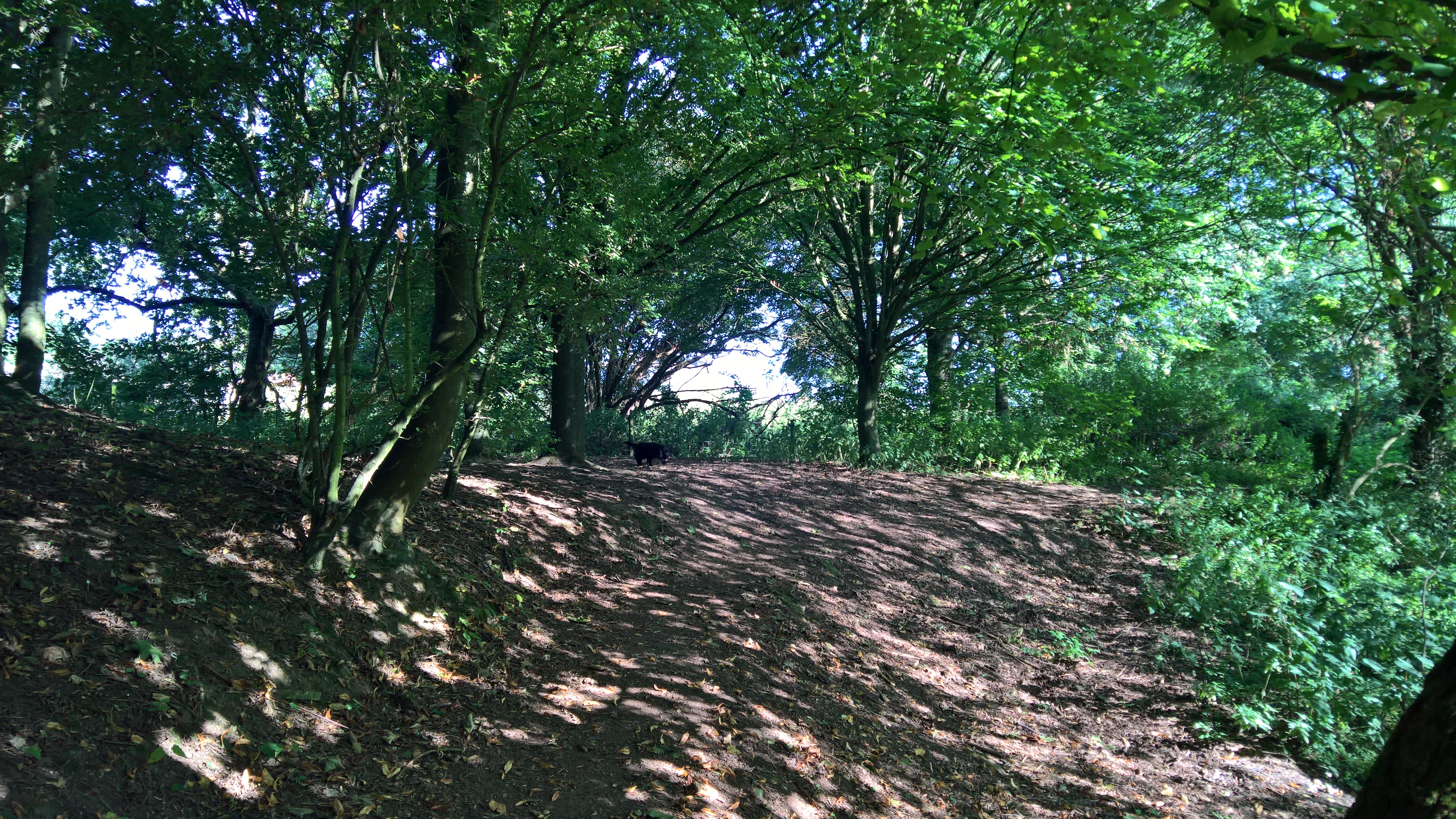
So, at the end of the initial path, you come to a fork, marked by another of the old Poplars, but it doesn’t matter which path you take, they both end at the same place.

A few years ago the right hand path led you to the entrance to the bottom path along the river, but this end of it was washed away in the floods of 2012, and was never reinstated. You can still just see where the Rangers barricaded the top of the old path for safety’s sake…

But it doesn’t matter, because the Rangers realised we walkers had made our own path up the slope a little further along…
…and so helpfully made it official with some quite steep steps. For those with knees of a certain age, it’s better to go down these at the beginning of the walk than up them at the end of it!

Looking to your right at the bottom of the steps, you can just see where the path used to come from, before it was washed away, and blocked up with fallen tree trunks by the Rangers just in case.

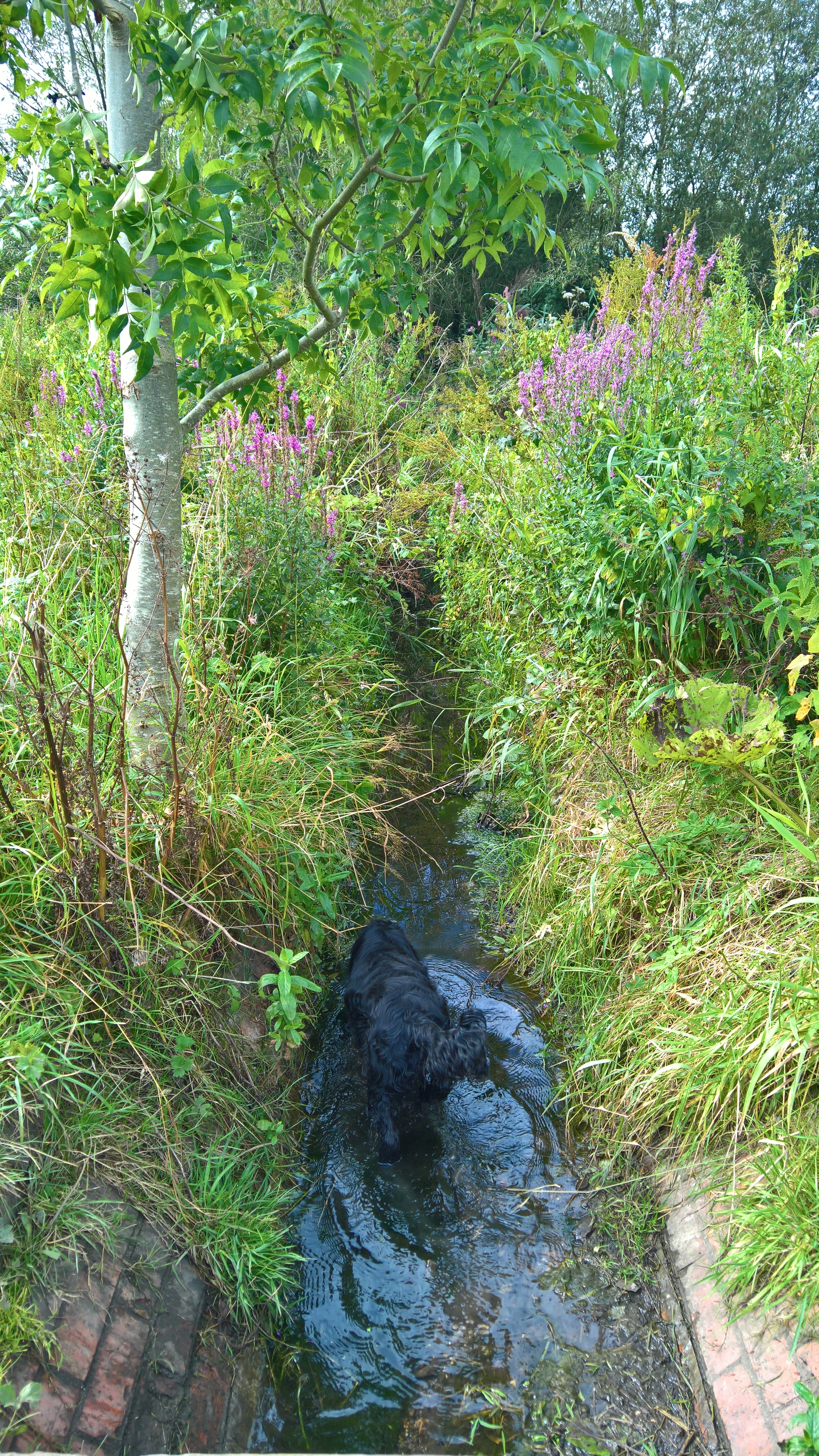
This is also where you (and your dog) get your first glimpse of the river…
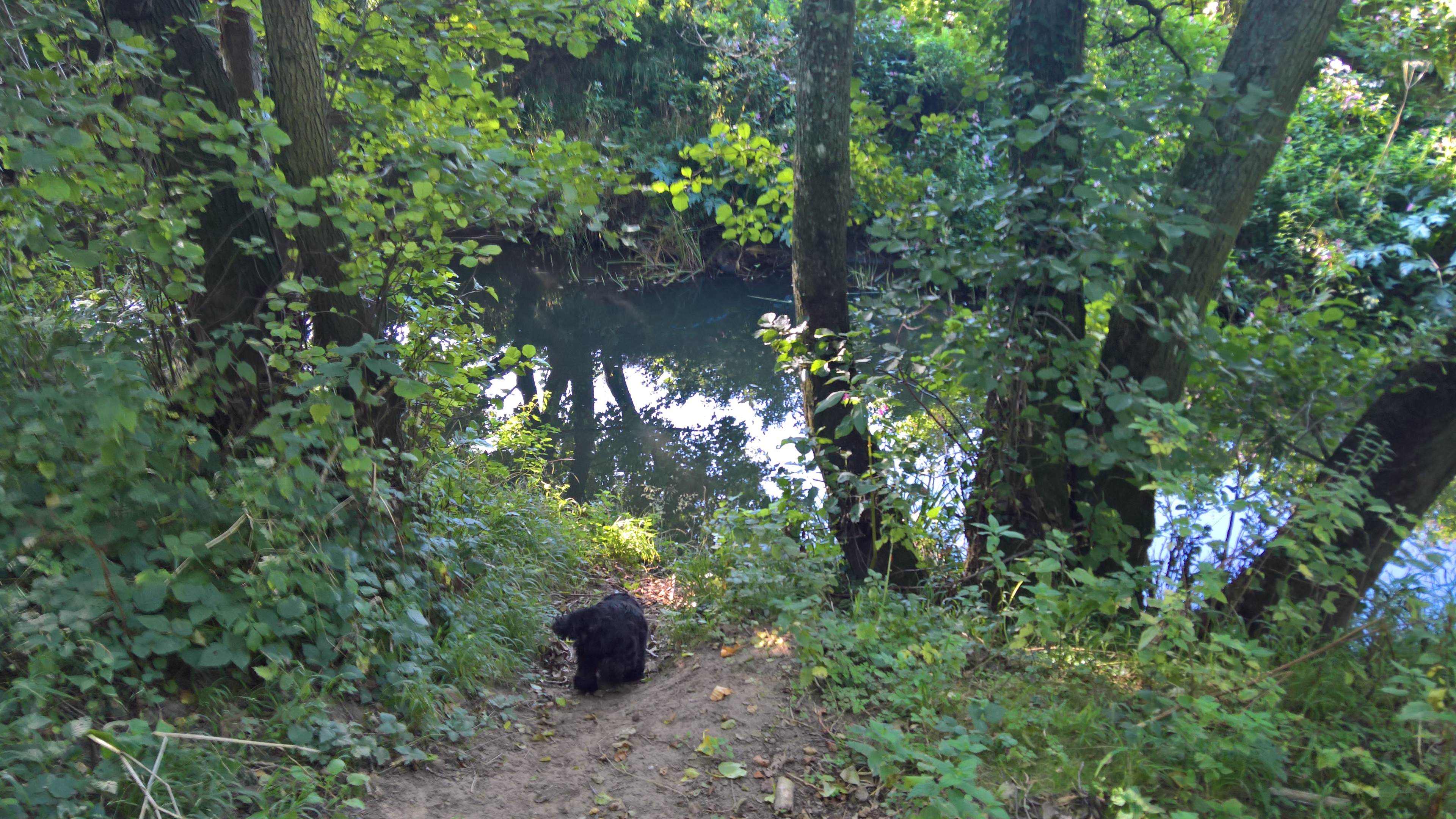
This lower path now winds along the river’s course…

…towards another lovely muddy hole, which is the remains of one of the outlets from the railway drainage channel.

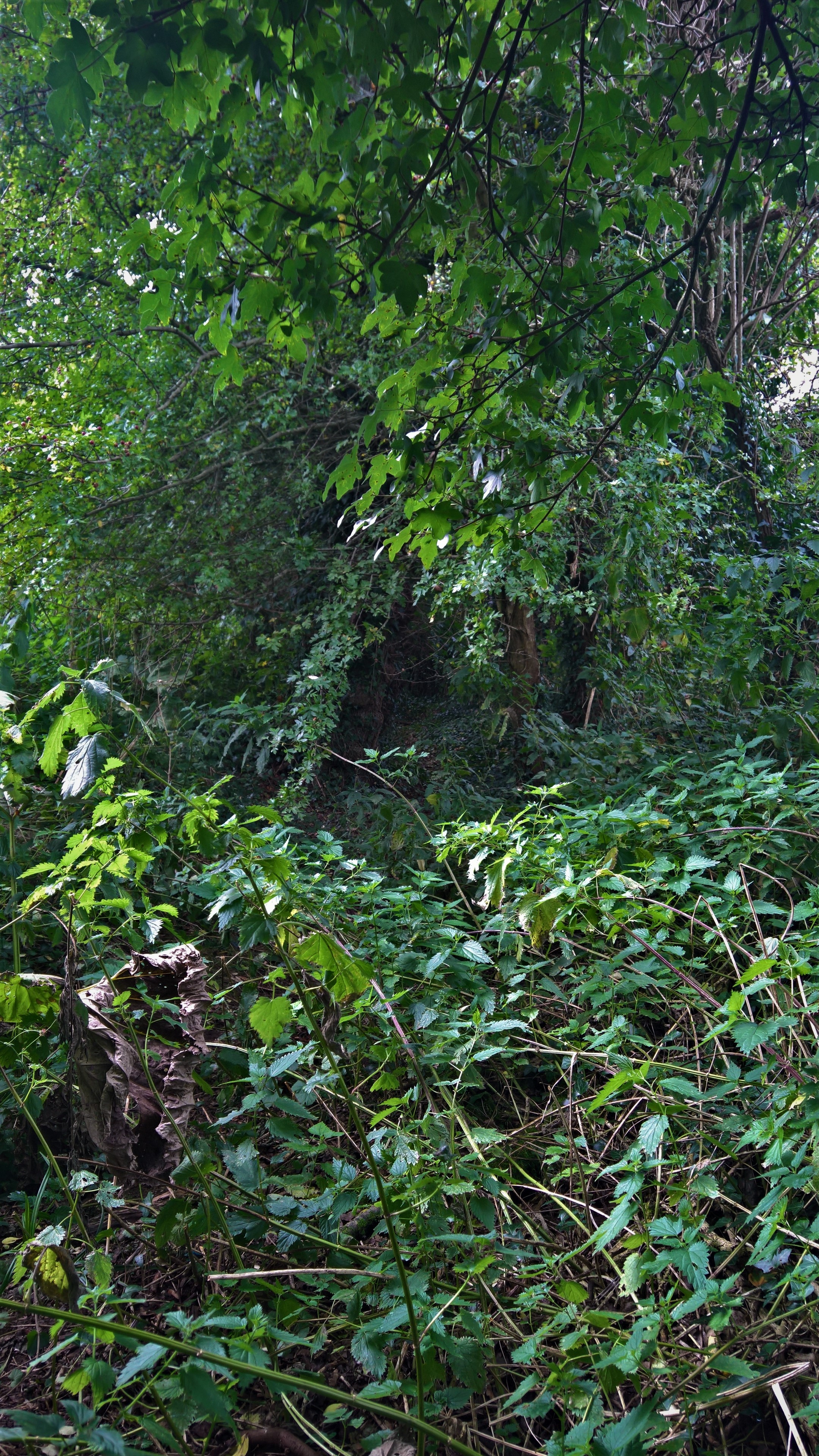
The path can get quite overgrown, either by nettles, or Green Alkanet as it was last year…
…but the Rangers and their multitude of wonderful volunteers do their best to keep it clear. The river is usually quite low in the spring and summer, but when it floods, which it frequently does in the rainy season, this path is often submerged, and in extreme cases so is much of the rest of the walk!
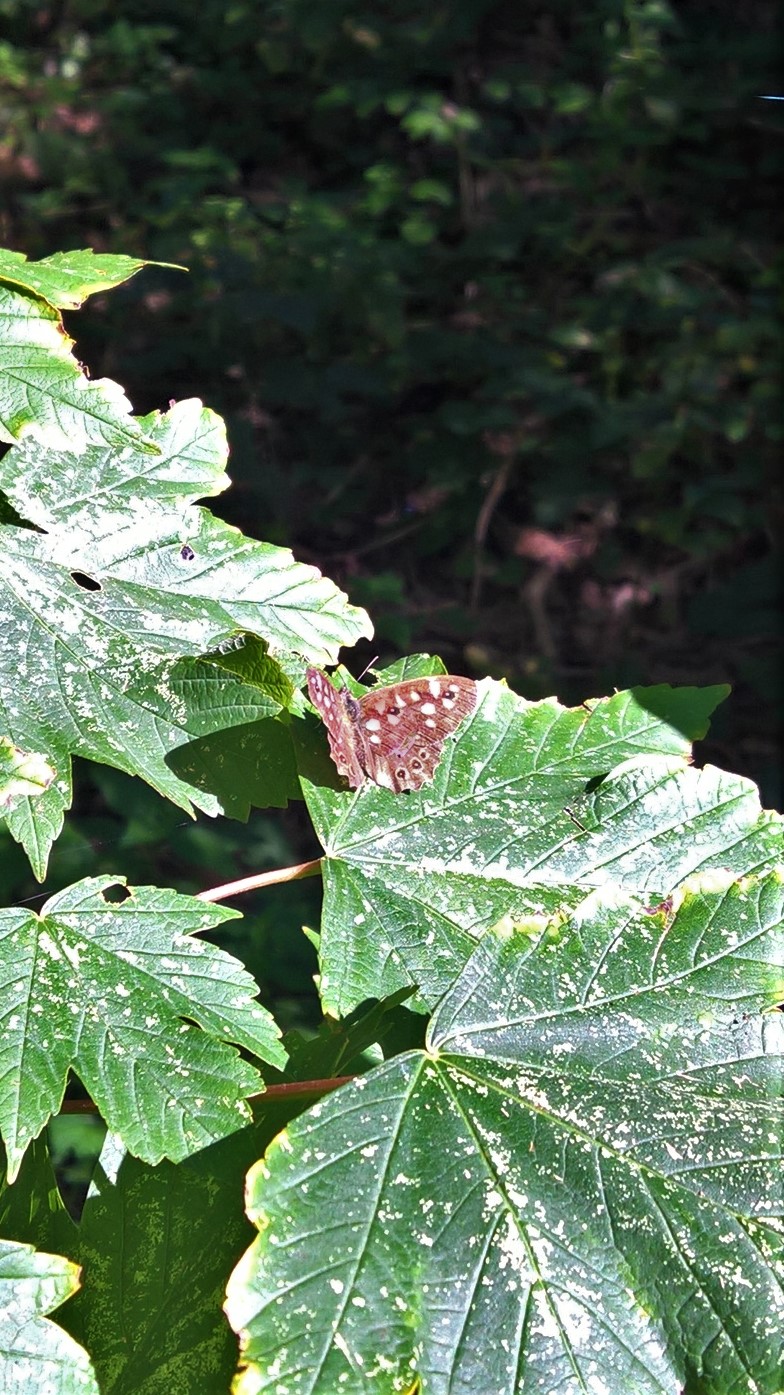
The Riverside Walk has a huge amount of wildlife – from Squirrels and Rabbits, to Badgers, Stoats, and all manner of rodents big and small, while Otters and Water Voles have been seen here, and even deer. There is all manner of bird life, big and small, including Swans, one of which helpfully turned up on one of the days I decided to photograph the walk…

…as well as goodness knows how many different insects, moths and butterflies, like this Speckled Wood that sat still long enough to be photographed. Not bad for a phone camera!
It also has a good few places where your dog can get down to the river to wash the mud off – for now…

The river path is eventually reunited with the top one…
…and those only wanting a short walk can turn around here and head back to the entrance.

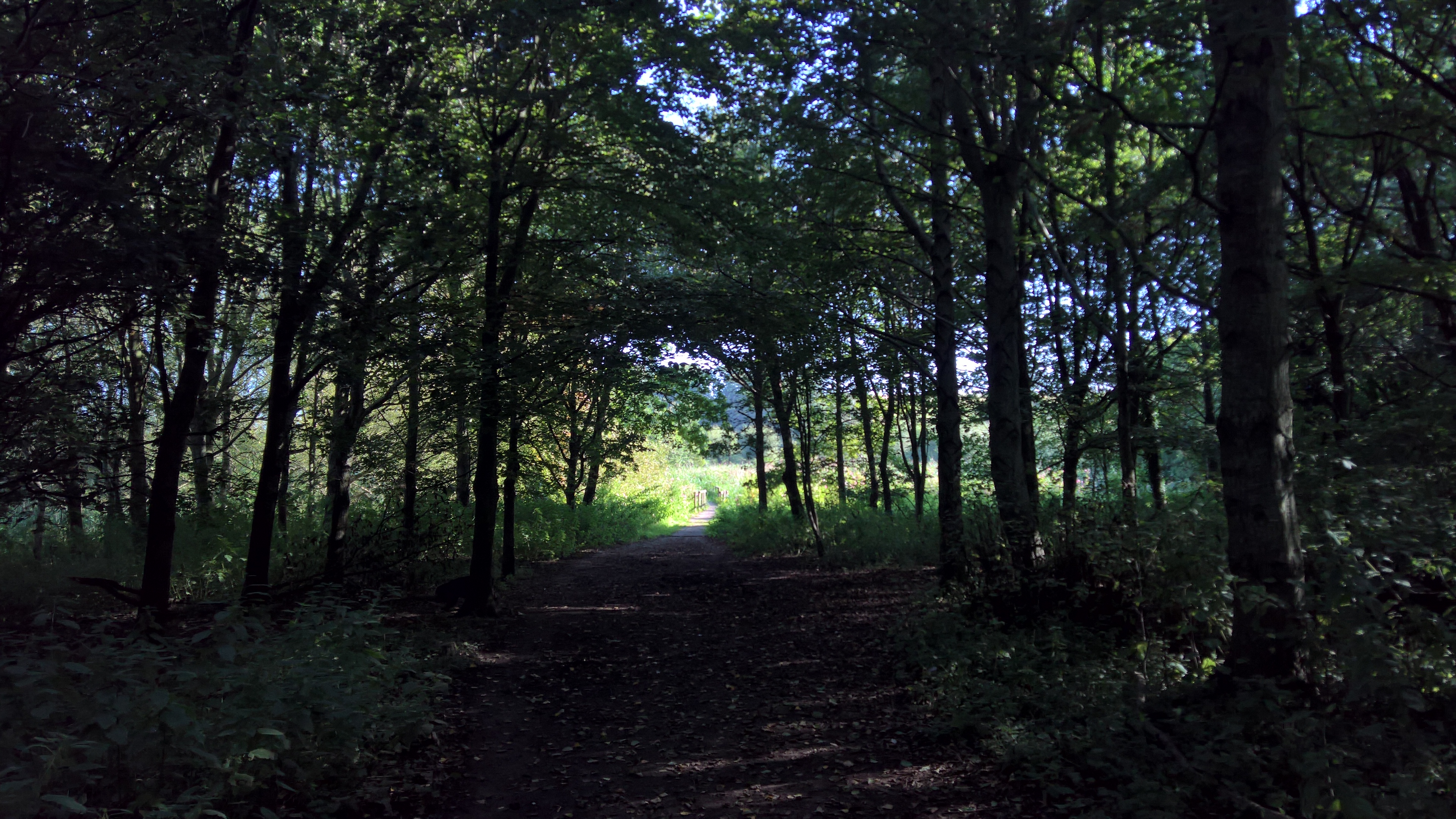
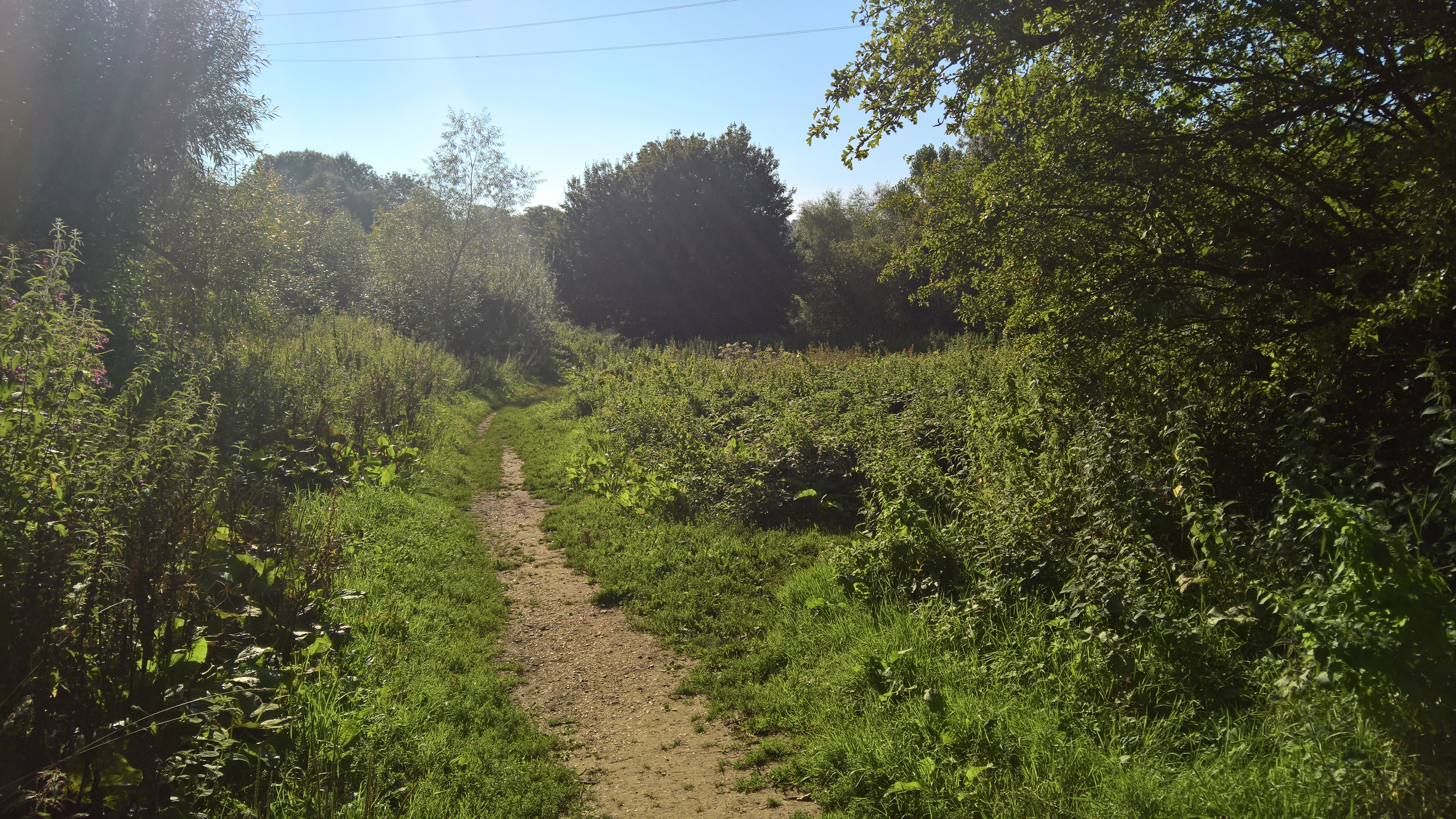
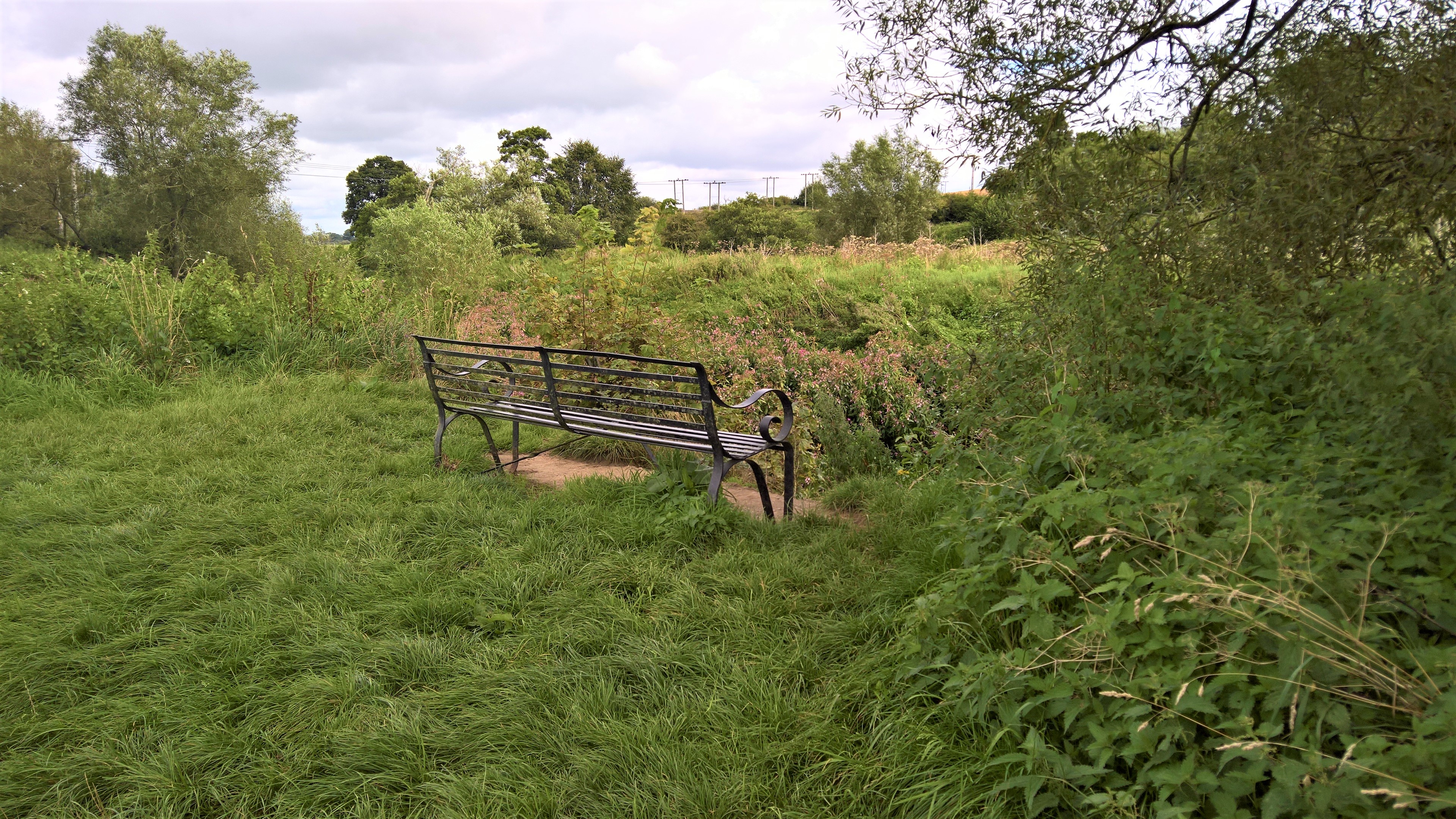
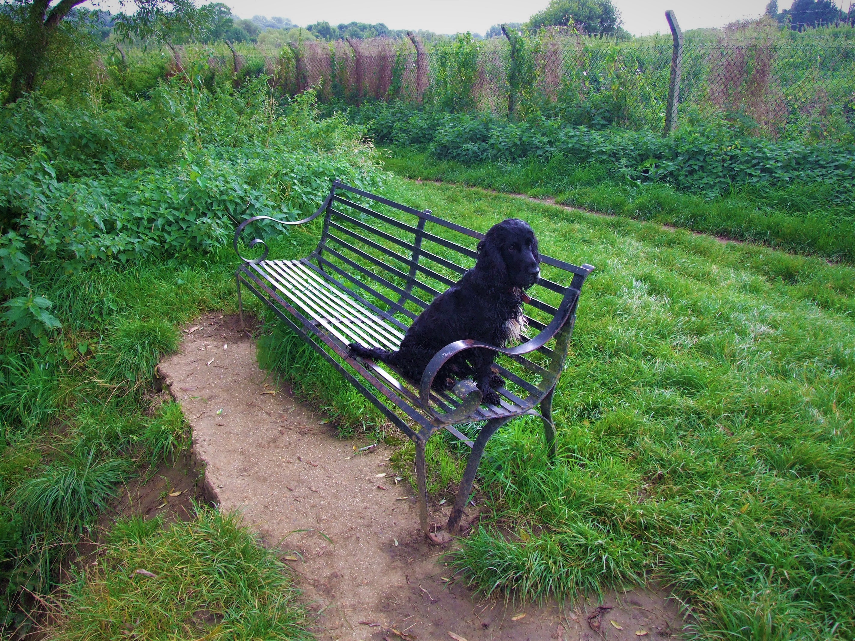
But if not, then on we go. Now you come to another fork – the right hand path follows the river alongside the woods, and the left hand one heads through them. Again, it doesn’t matter which you take, as they both end up at the same place.

But if you can’t make up your mind, there is the first of two metal benches to sit on while you do. At least there used to be two…

This one sits under one of a long line of old Scots Pines on the walk, all of which feature on the 1887 map. This glorious old tree seems to be a favourite with Long-tailed Tits and Goldcrests.
The remains of the old drainage channel, no more than a dip in the ground now, runs along the line of the railway line fence on the left of the woods. The dip can just be seen behind these Hazels (the photo is taken looking through the hazels to the path).

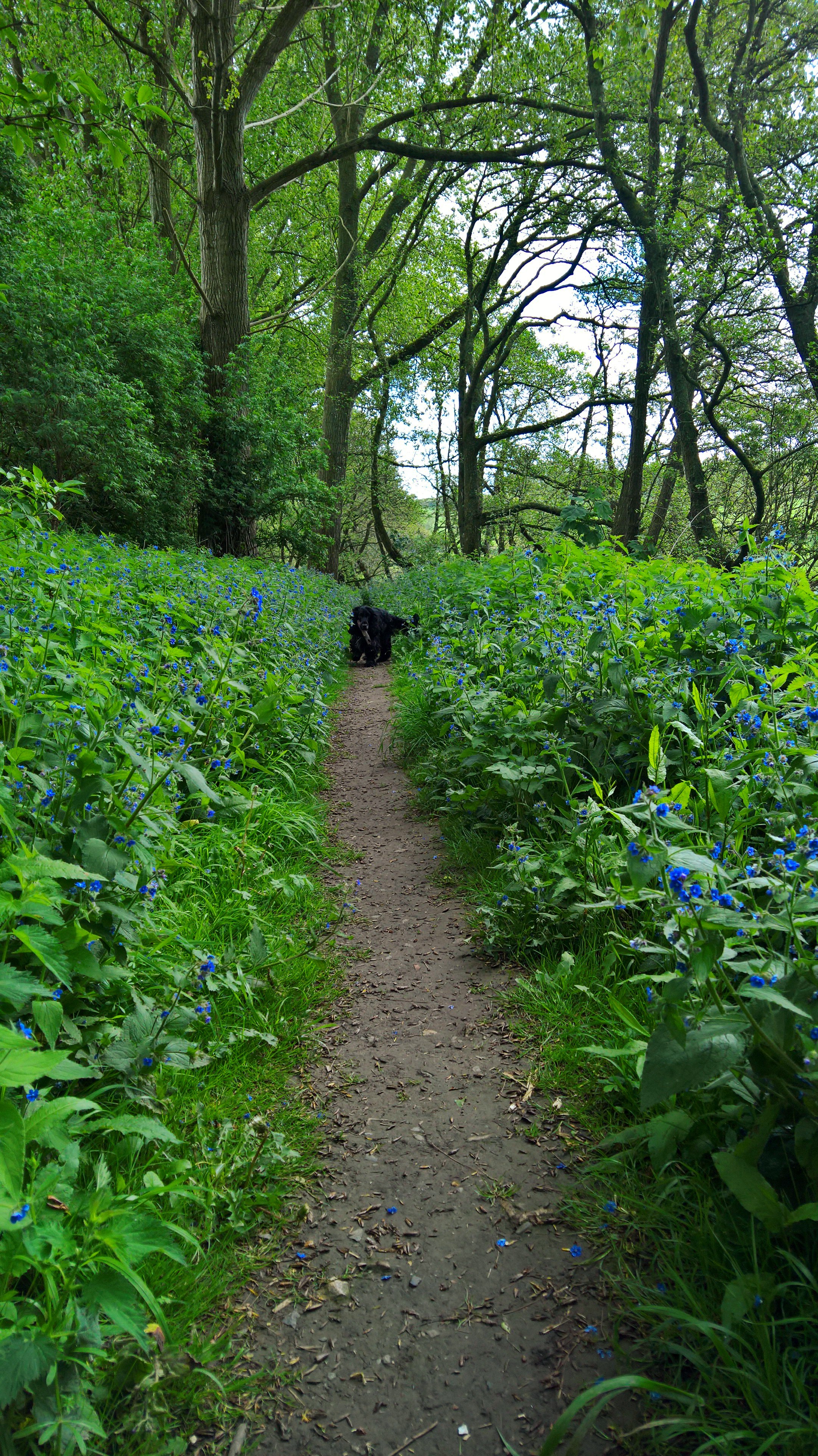
Anyway, today, Woody and I decided to head through the woods.

As I said earlier, aside from the few older trees that line the edges, these woods are only around twenty years old. The Countryside Team is currently in the process of thinning them out, in order to create some walks through the woodland.

From late autumn to early spring it is in fact possible to walk through this younger woodland, but sadly by late spring it is made impassable by the inevitable nettles. It’s a shame they can’t be removed, because this would make a wonderful Bluebell wood, but they are just too vigorous, despite all the efforts of their rival plants the Alkanet and the Indian Balsam. Of course, both latter species are equally as invasive, but they are at least rather prettier. On top of this, the regular flooding of the woodland floor dumps tons of nutritious silt on top of them, which initially flattens them, but then helps them regrow even stronger. But even nettles have their place, and this area supports a huge amount of insect life. But there is one area in the middle of these woods that has almost nothing growing on it at all. I always wondered why, until I realised the 1887 map held the answer – it used to be a pond…

The new woods begin at A and extend all the way along to B – and this is the ‘pond’ itself…

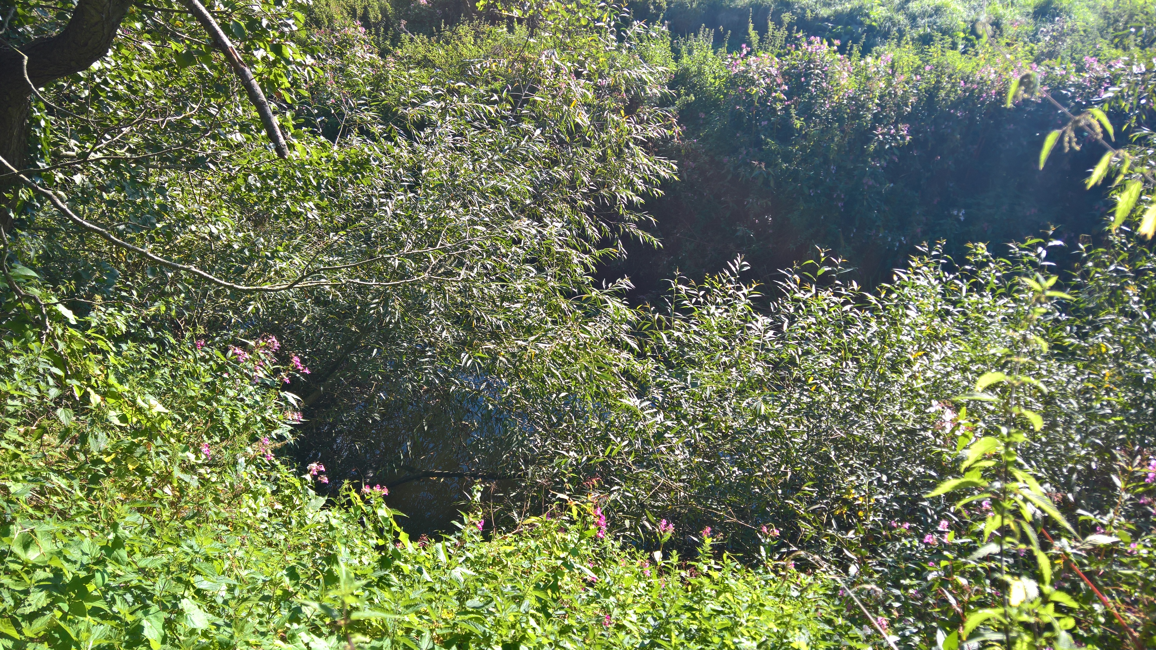
But as you’re approaching the end of the new woods, the foliage in the background begins to take on a distinct wetland feel…

So Woody and I tramped through the undergrowth to get a better look…

…and sure enough, finally there was actual water.

So, our mission accomplished, we headed towards the light at the end of the woods…
…which turns out to be a glorious little reed bed, fed by the drainage channel, with a boardwalk running through it.

Here you’ll more than likely hear yet more warblers – Chiffchaffs, Blackcaps, Whitethroats most commonly (Wood, Sedge and Reed Warblers have been seen here apparently, as well as Reed Buntings, although I’ve never been lucky enough to see any of these!). You might even glimpse the occasional Willow/Marsh Tit (I can never tell the difference!), while Great Spotted Woodpeckers tap away at the tree trunks, and Jays and Green Woodpeckers chuckle away at you from the high trees. Until recently a solitary Cuckoo rested here every year in the spring before heading up to Wales. The British Trust for Ornithology put a tracker on him five years ago, and called him David.

One year David got all the way to Yeovil from Africa, then headed back to France because the weather was so bad – and made the national papers in doing so! He hasn’t been heard of since January of this year, however, but hopefully this is only because the battery in his transmitter has run out. Hopefully… You can read all about him here.
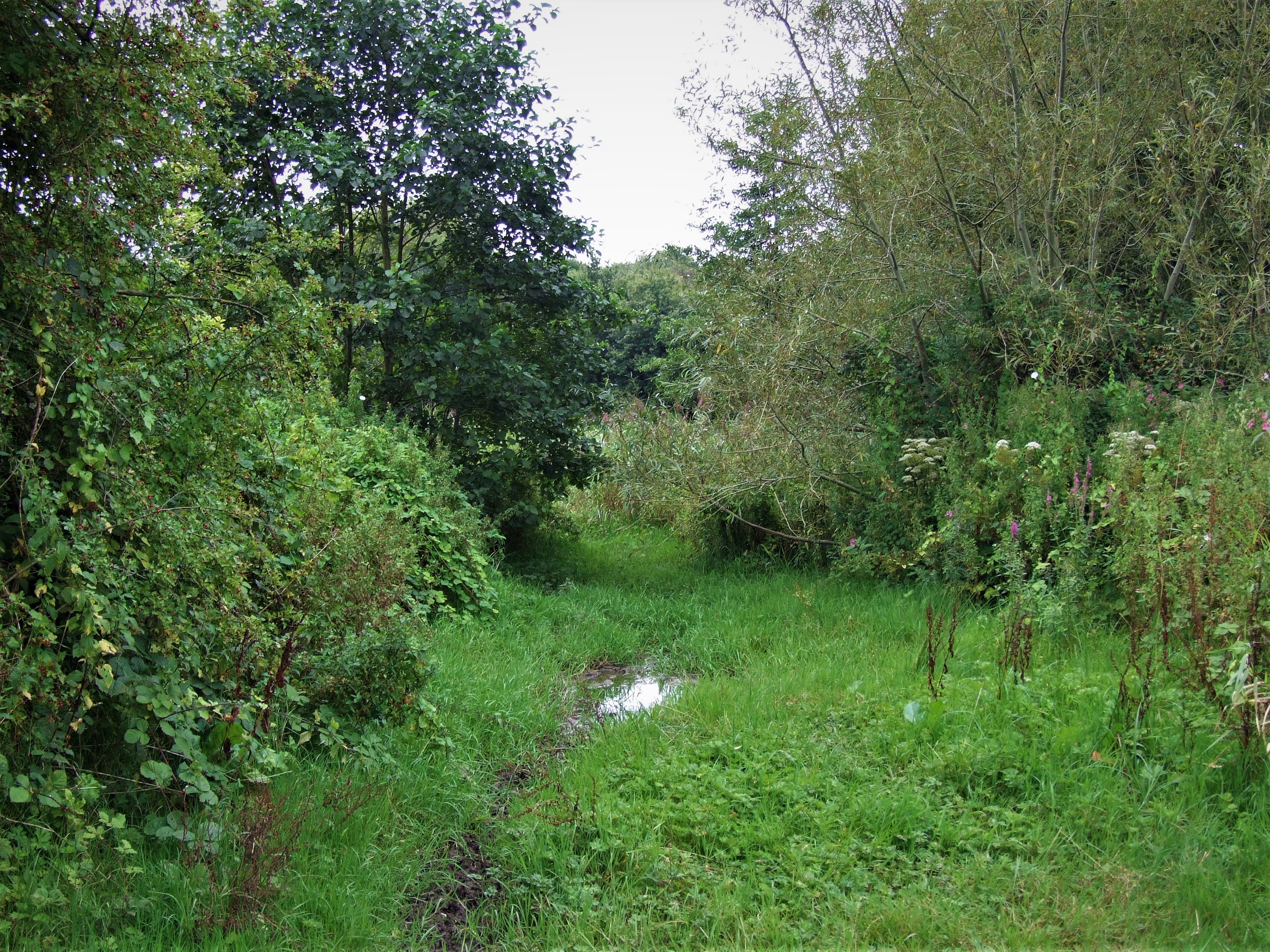
But then the boardwalk ends, and until a couple of years ago you then picked your way across tussocks through the mud and shallow water to get to the next path.

But then the walkers started to make their own paths through the reeds and around this little boggy area, and now these unofficial paths have become official, and the boggy area has been allowed to become subsumed by the reedbed. However, I am told by the Countryside Team that they and the Friends of Yeovil Country Park volunteers will be replacing and extending the boardwalk, hopefully next summer, and ‘scraping the reed bed area to regenerate it, and allow more reeds to grow.’
This is it from the other side.
This is all that remains, above ground anyway, of the railway drainage channel, which empties into the river beyond all this undergrowth.

It’s now mostly used for paddling…
How far the brickwork extends into the woods I have yet to don wellingtons and find out.

In the rainy season, this muddy pool next to the brick channel fills up enough for a small to medium sized dog, a black cocker spaniel, say, to swim in it – this was taken only a week or so later, after a couple of days of rain…

Directly behind Woody one can just see the feed for this pond, which also seems to come off the drainage channel – again, more wellingtons-related research needed!
This is also a second turnaround point for those that wish, as you can now go back along the path that runs between the woods and the river.
Or you can carry on…

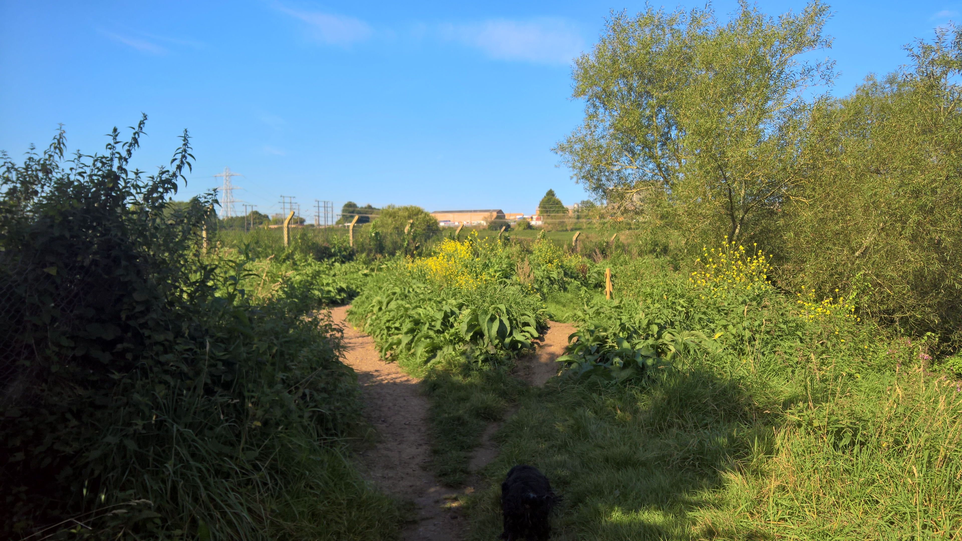
The path continues along the river, although in the summer you’re hard-pressed to see any water.
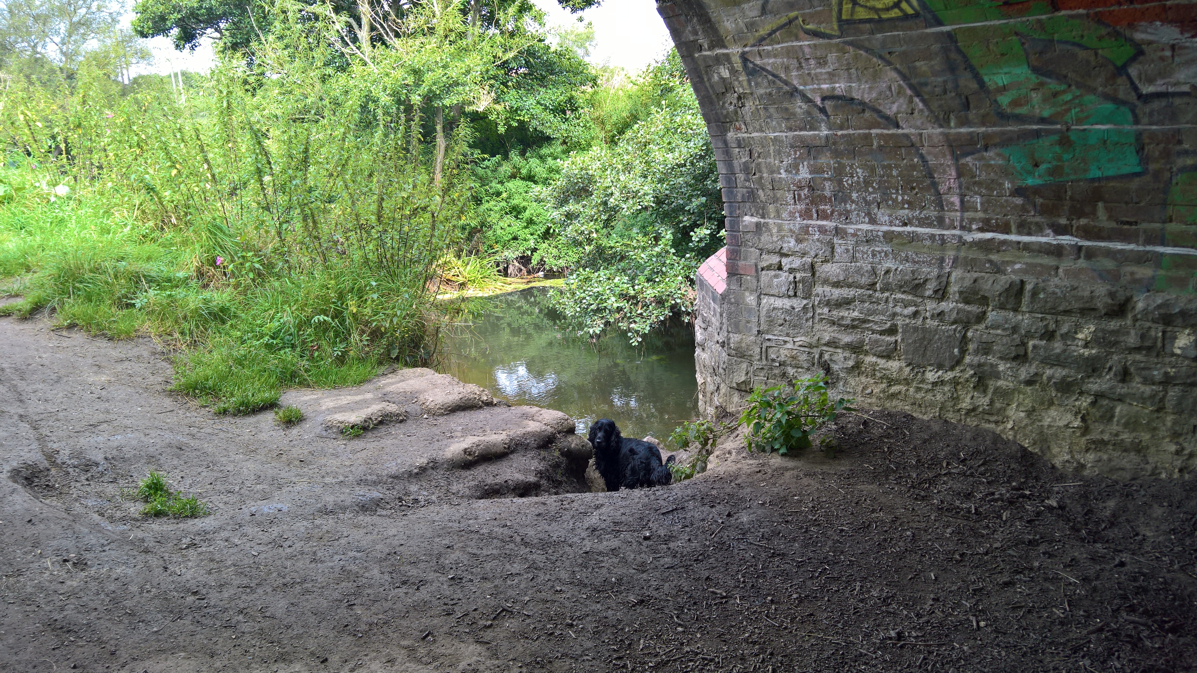
Eventually you come to the railway bridge, and what can, in the winter, be an irresistible amount of mud for dogs.
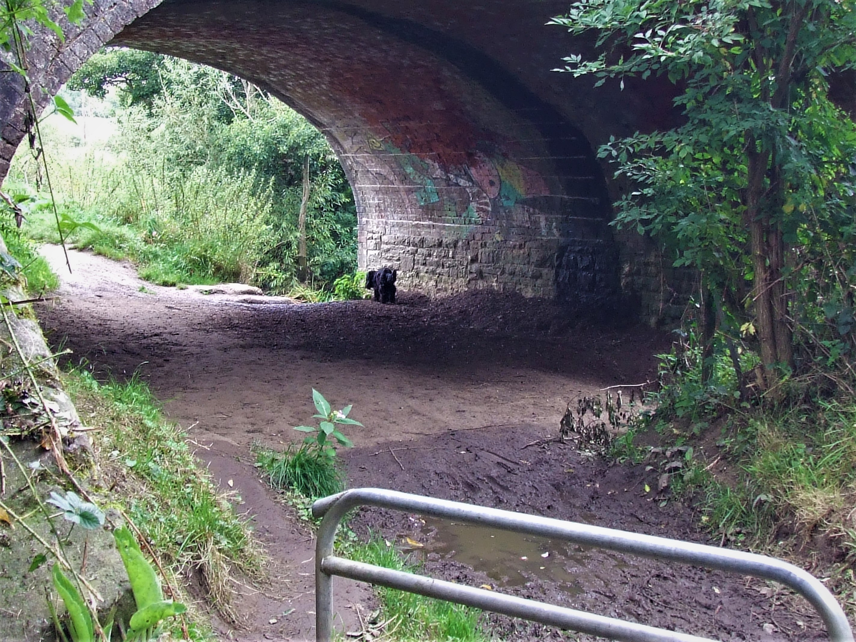
The bridge is also sometimes a perch for Kingfishers…

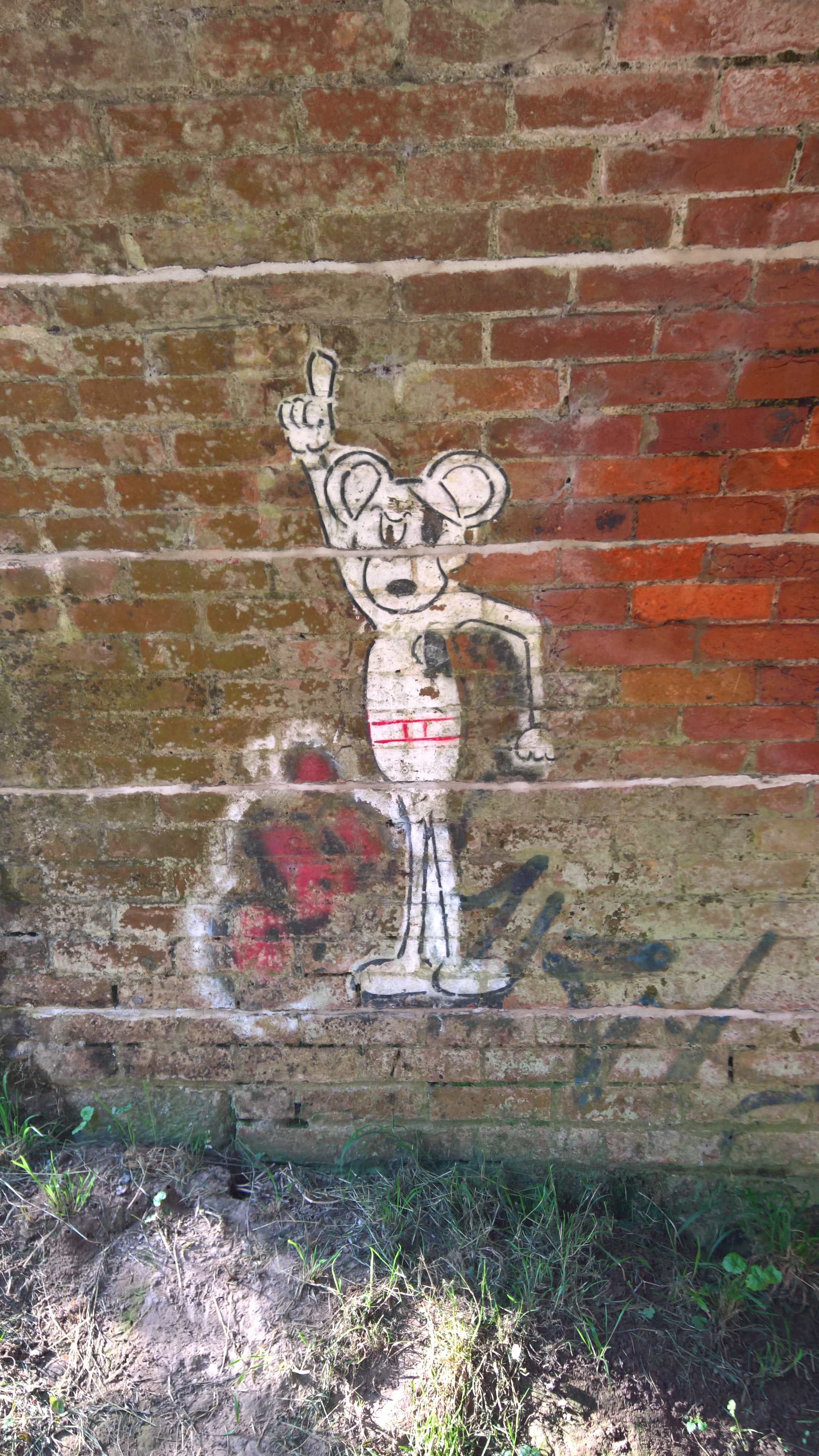
…as well as being home to one of my favourite pieces of graffiti, which I’m guessing has to be thirty years old now.
Just the other side of the bridge is the next doggy access point to the river…

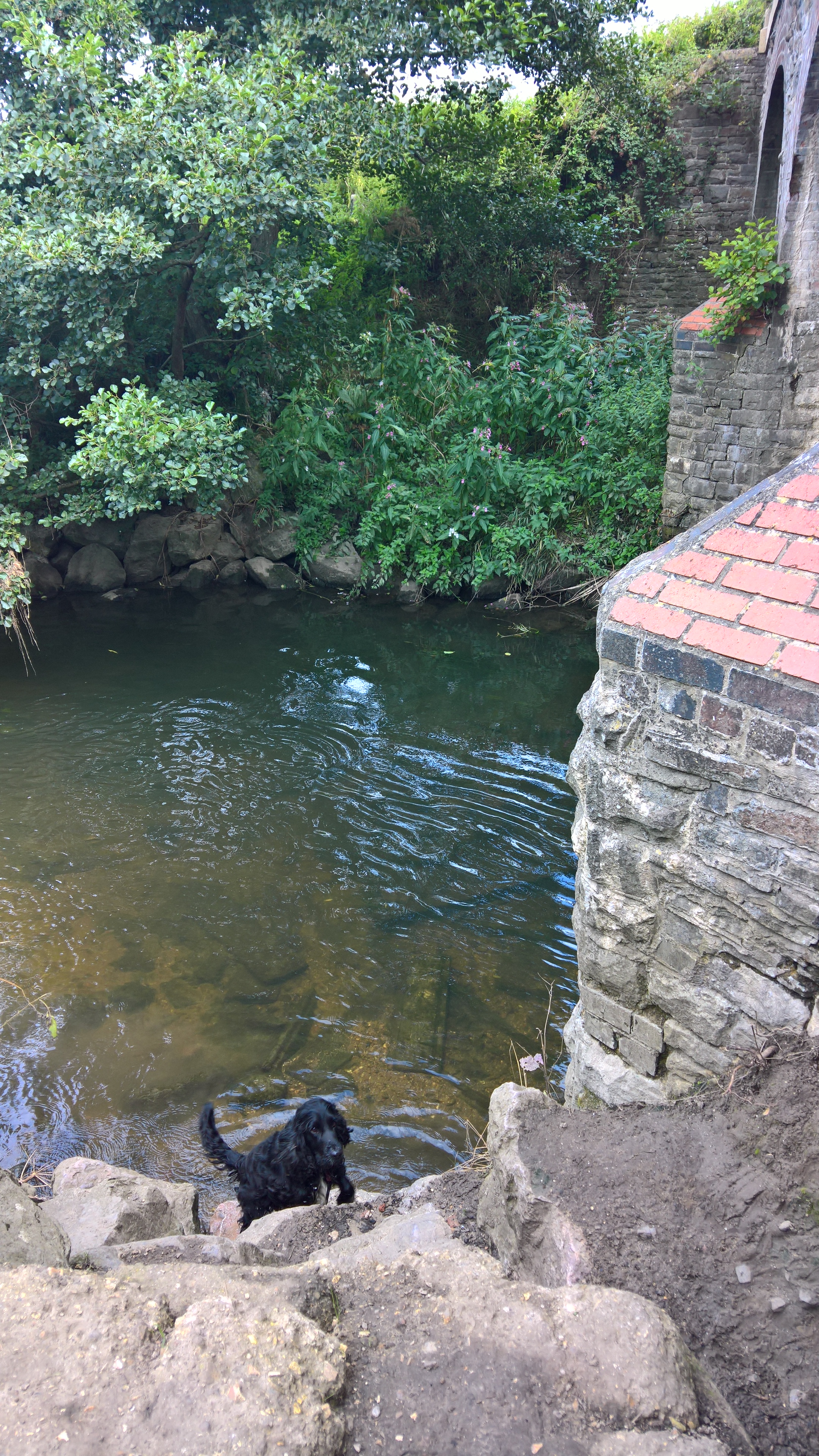
The path now carries on along the river – it used to go nearer to it, but the banks here are constantly eroding, so the Rangers made a new path a little further away from danger…
Woody still prefers the old path though.
Here you get probably the best view of the river, as it comes to a large bend. At this time of year though the view is rather obscured by the balsam and this ever-expanding willow tree. This is the favourite spot for Kingfishers, and some years they nest in burrows in the bank on the right. If you’re really lucky, you’ll see them fishing from the overhanging tree branches. If you’re extremely lucky, as I was a few years ago, you’ll see newly fledged Kingfishers following their parents out of their burrow and up the river.

The best view, of course, is from this, the second bench – or rather, was…
Or so someone used to think…
I saw ‘was’, because sadly, because the bench was rather nearer the edge than it was a few years ago…

…the Countryside Team decided it was unsafe, and, a couple of weeks after initially posting this blog (hopefully not because of it!), they removed it. Following a suggestion from me, they say they will consider putting in a new bench at a safer position a little further along the river in their next ‘new bench round’ in a couple of months. Here’s hoping!
So, now you can no longer sit and contemplate the world, it’s off along the river again…

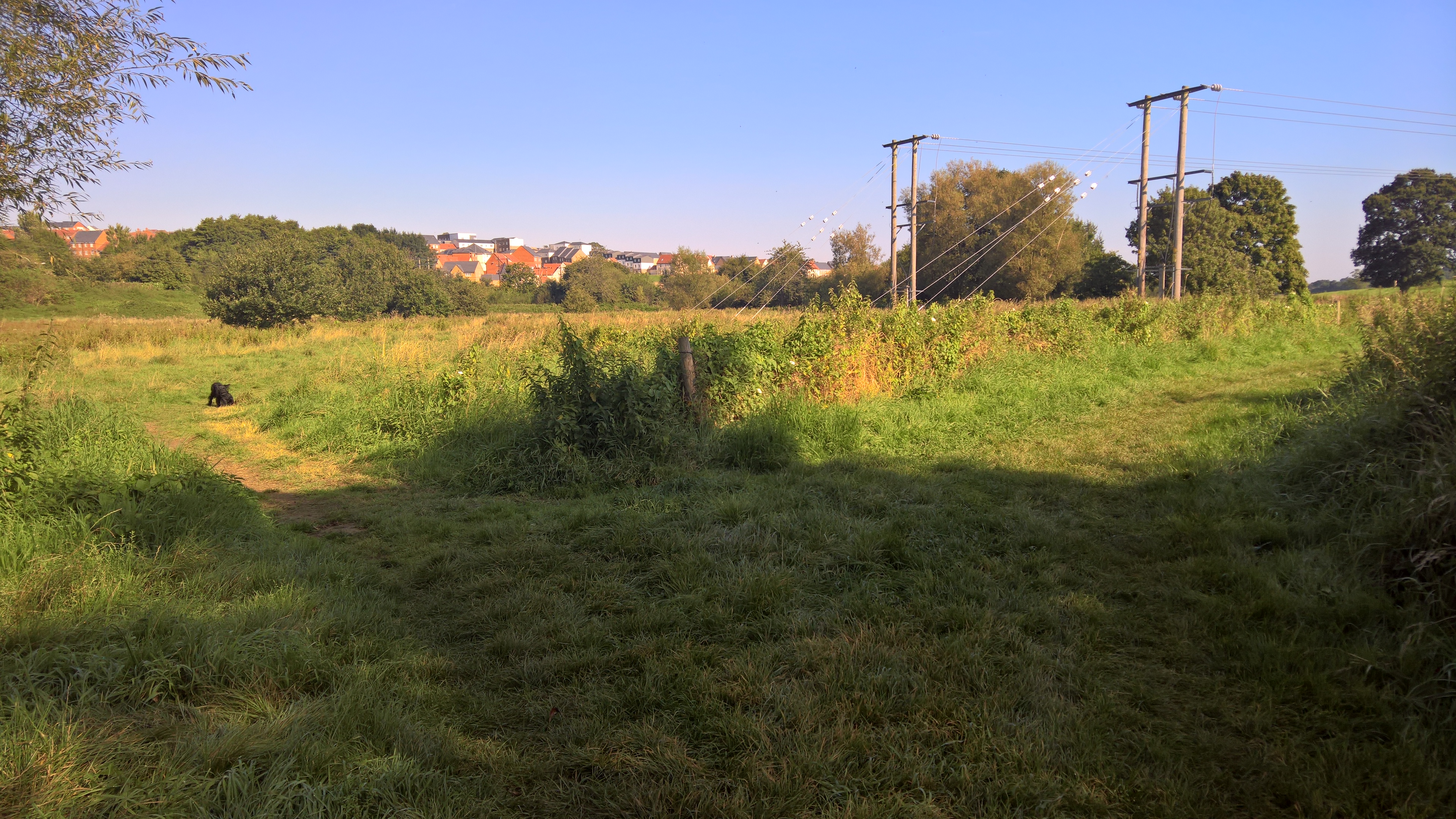
…or through the only publicly accessible part of possibly the last remaining unmanaged open space of the medieval East Field. Today Woody decided to go for that option. You’re nearing the far end of the walk now, and civilisation starts to once more encroach in the form of the new Wyndham Park estate, in all its architectural horror.
But there is one last little gem to discover, up this equally inauspicious path – and yes, these next few were taken on a less sunny day.
Here you can finally rid yourself of any poo bags…

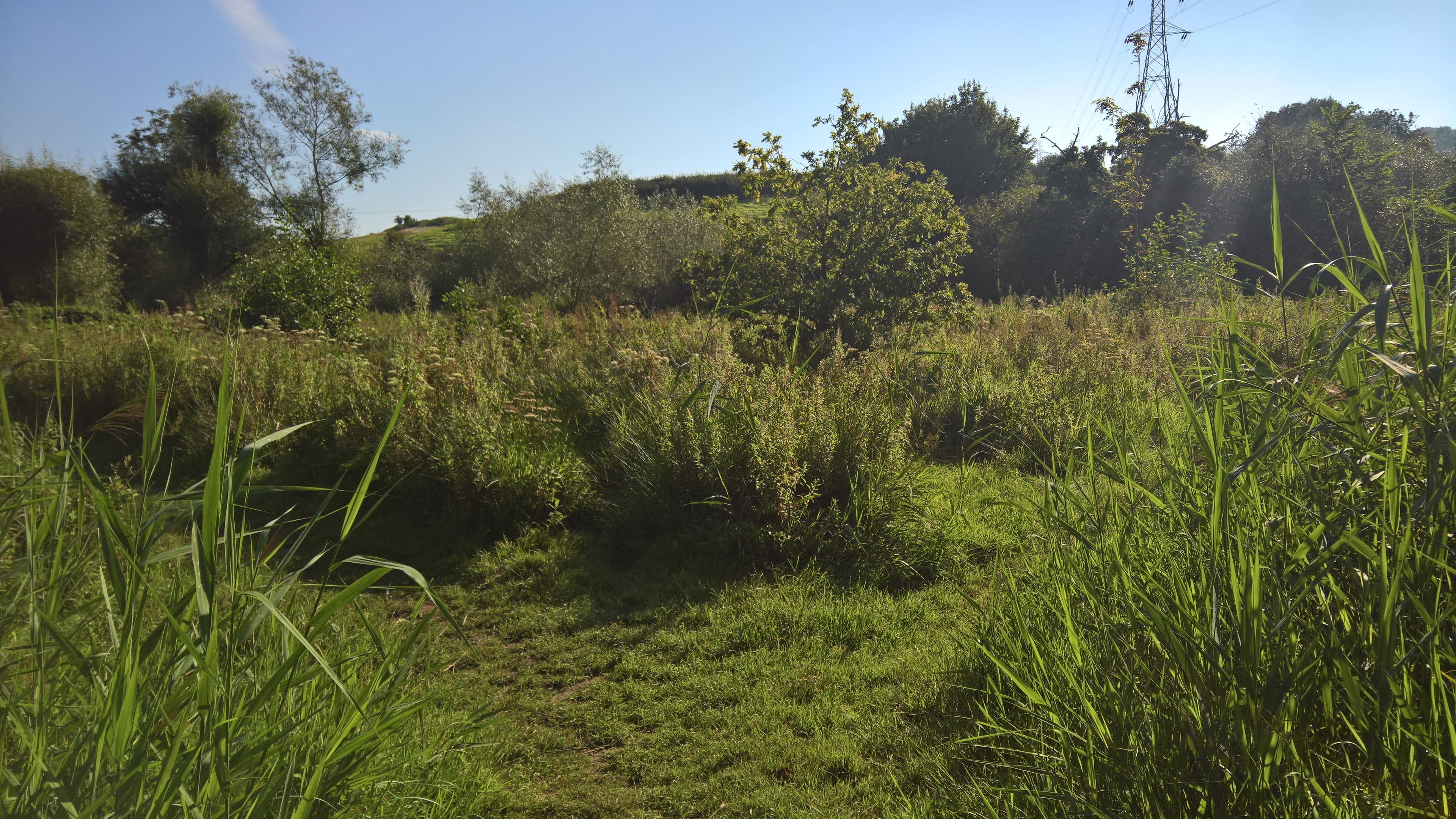
…before emerging onto Sunningdale Recreation Ground at the Lyde Road end of the Riverside walk, a former landfill site that happily can’t be built upon which is now bursting with dog walkers and birdlife, from an oft-visiting Kestrel to occasional flocks of Siskins, and even Skylarks.


Once around this, and trust me, with the number of dogs that come here for yours to play with, this can take some time, it’s off back past the field entrance and down to the river path…
…where you’ll find several ‘secret’ paths through the undergrowth down to the river. Or rather, your dog will find them…


Now it’s back towards the bridge…


…and along the riverside path.

Then you head past the reedbed…

…and across the border into Dorset! For some reason the County boundary suddenly veered away from the river on the old map, and around a triangular section of what seems to have been part of the drainage system, and though the latter isn’t there any more, marked only by a line of trees that start with the big one in the centre of the photo above then going along to the right, no-one has ever changed the line of the boundary.
The boundary crosses the path right about here – Woody had ventured ahead, into Dorset…

It then heads through the trees to the right of the above picture. I decided not to follow it…
But soon you’re safely back in Somerset, and head along the path between the woods and the river.
Around here you can hear the sound of rushing water, but in the summer at least there’s nothing to be seen – until you wade through the nettles towards the edge of the riverbank…
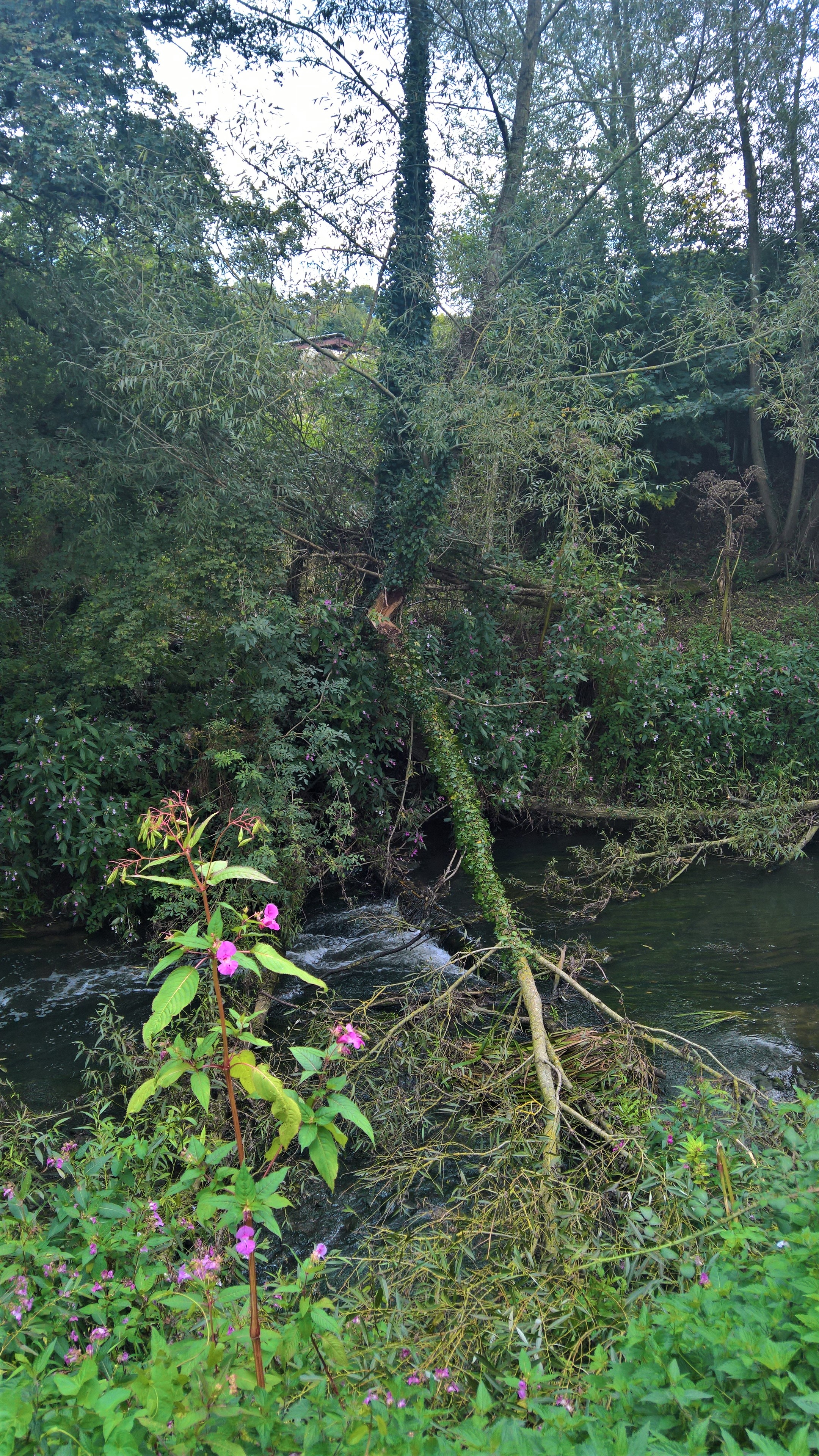
This is where the leat from what in 1887 was Over Compton Corn Mill, now Old Mill Farm, once emptied back into the river, which it still does, albeit through a pipe buried in the field opposite.
Carrying along the path, you come across a wider part of the river, and you can just about see a sluice from the old leat.

Next you come across where I did think the mill leat once began, somewhere on the opposite bank, but in fact it began slightly further along, down the last ‘secret path’, which I’ll get to shortly.

You can see on this 1887 map where the leat once went, and some of the marks are occasionally still evident in the field on the satellite map.

Then finally there is the ‘secret’ path to the river I mentioned, and my favourite of them. I suspect Woody had already been down once, and was bored of waiting for me to finish taking pictures. But, we went down again…

First to the open bank…

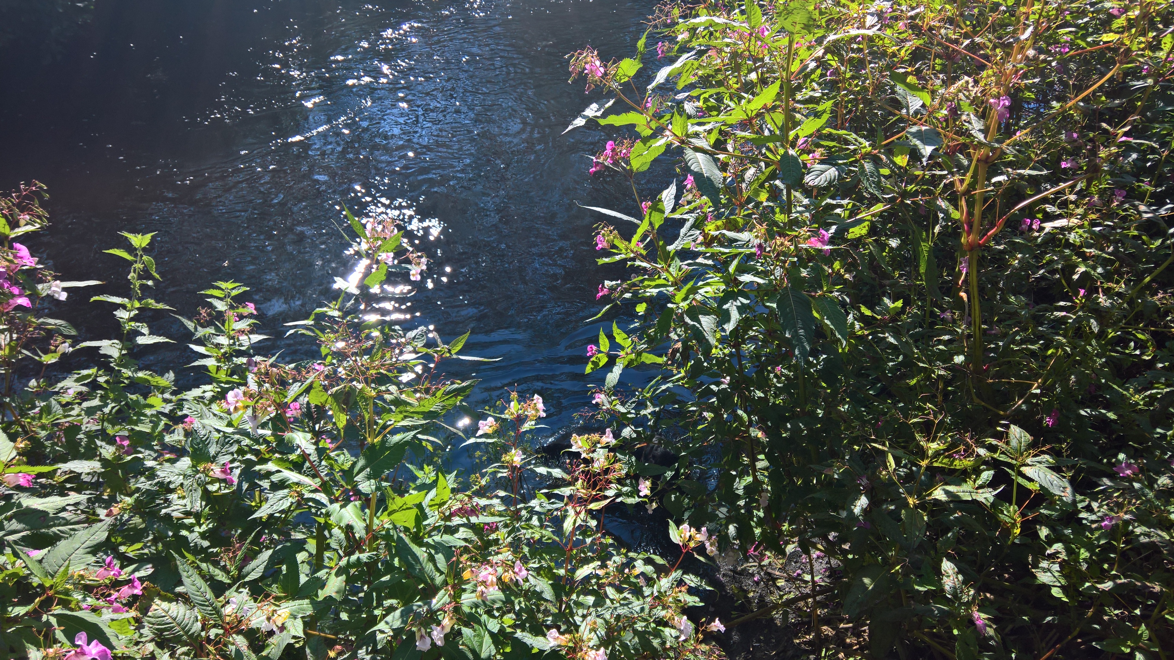
…and then through the nettles and Indian Balsam to the river…

…where Woody had one last swim.
And here is revealed not only the remains of the entrance to the leat, but also, in the stones, the remains of an old foot crossing, a dotted line on the 1887 map. It’s my favourite ‘secret path’ because only from here do you get a view of these beautiful little ‘rapids’, from where Dippers may well fish. I’ve yet to see one, but I live in hope. You do often see Grey Wagtails bobbing along the stones though.

But, right about here, Woody usually decides that it’s time to go home. Don’t worry, he knows the way…


And so, it’s back to the gate, and then home.
The Riverside Walk is wonderful at any time of year, but especially on a sunny summer’s day, when the foliage, both in the canopy and on the ground, just seems to glow, while in autumn, the woodland floor is a glittering carpet of red and yellow.
But whatever time of year you go, the best day by far to visit is Sunday, when the industrial estate is asleep, and the only things you can hear are the singing of the overhead electricity wires, and, of course, the birds.
Acknowledgements
Bob Osborn, again, for his marvellous A-Z of Yeovil History
The Somerset Historic Environment Record, for the tithe map.
The National Library of Scotland, for their wonderful collection of interactive maps, old and new.
Yeovil Country Park and its Rangers, Countryside Team and volunteers, for all the hard work they do on Yeovil’s hidden gems.

14 thoughts on “In search of Yeovil Country Park, Part 1”