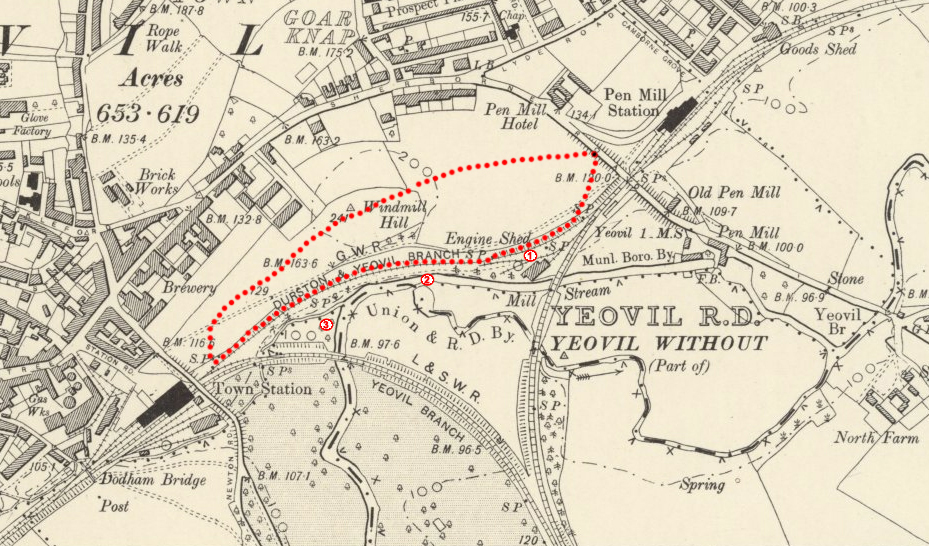
1901 Ordnance Survey Map, with the walk overlaid
WYNDHAM HILL & RAILWAY WALK
This is one of the shorter of the five Yeovil Country Park walks, but despite being largely surrounded by the town, it still has a great deal of countryside beauty.

If you want a larger version of this map, you can download a PDF of the Yeovil Country Park leaflet here.
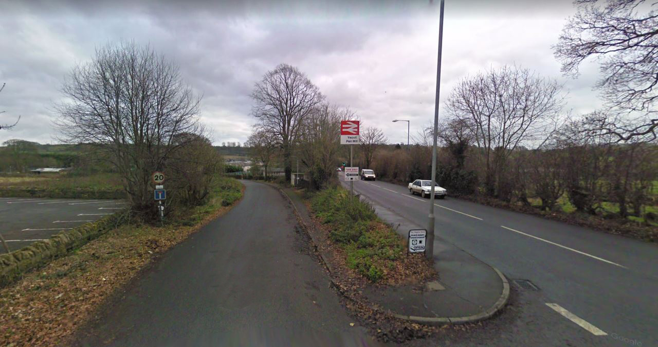
For those needing to drive, one can either park just up from Pen Mill Station…
…or in the car park of the Pen Mill Hotel, seen at the left of this photo. If you do the latter though, be sure to visit the pub itself, purely out of gratitude of course, as it is a fine establishment.
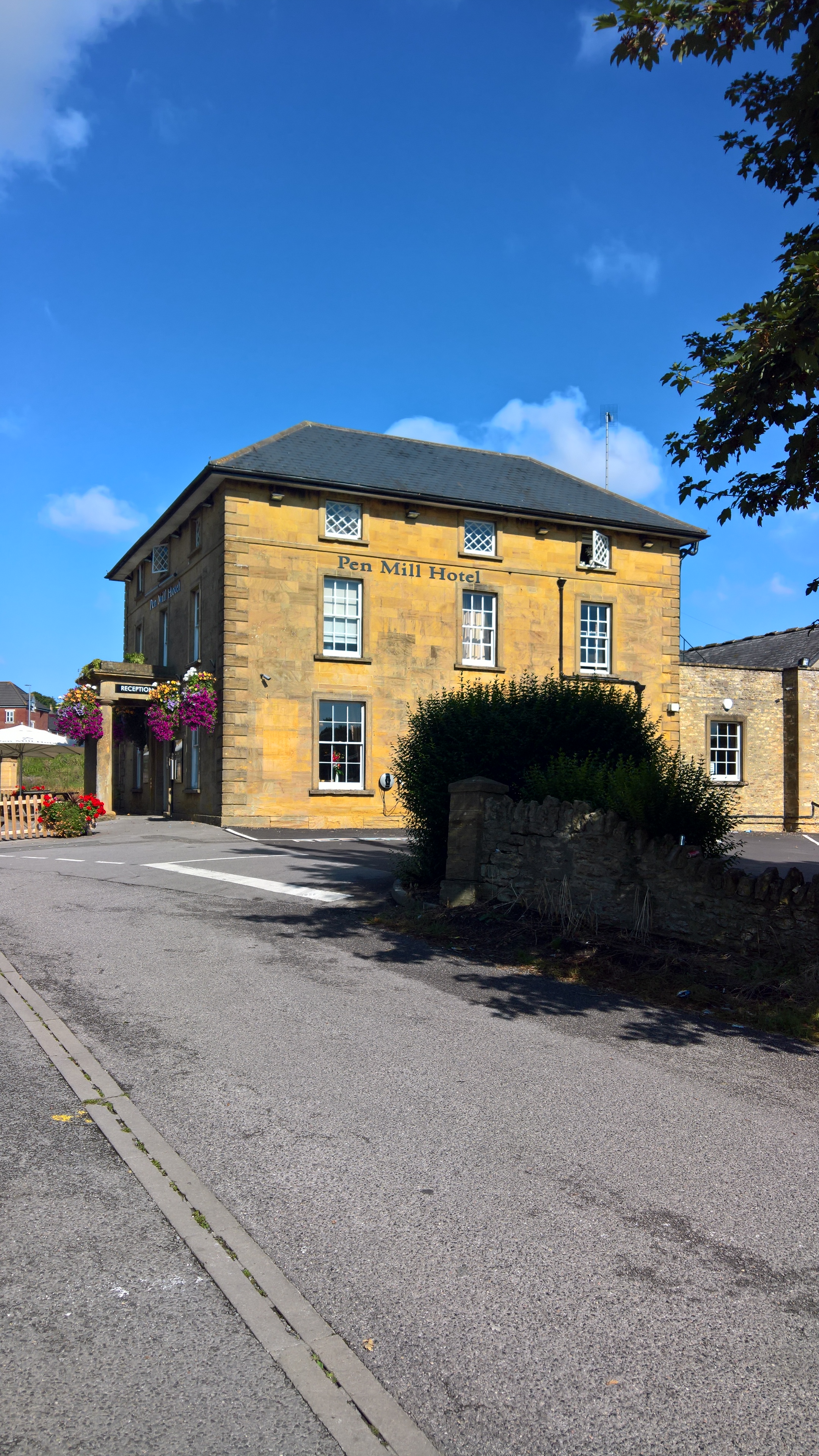
You might guess those last two photos weren’t taken on the same day! The Pen Mill Hotel was built in the 1850s, to take advantage of the trade from the new-fangled railway next door, as it does to this day. If you’re walking up Sherborne Road to the start of the Railway Walk, then you’ll pass the largely unknown site of the original Pen Mill Inn, sometimes also known as the King’s Head Inn, and marked on the map above as ‘old Pen Mill’.
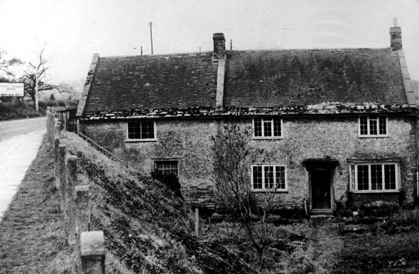
This photo, courtesy as ever of Bob Osborn’s A-Z of Yeovil’s History (as are the other black and white photos and a lot of the historical information within this blog), is of the Inn just before it was demolished in the early 1960s, having long been converted to cottages. When the railway came in the 1850s – an arrival that was welcomed by some affected landowners, and hotly contested by others – the road had to be raised considerably in order to go over the station and the tracks, and the Inn presumably lost all its trade. The photo below shows where it once sat, marked by hedges on what is now the north western corner of the Pittard’s leather factory site, opened in 1965.
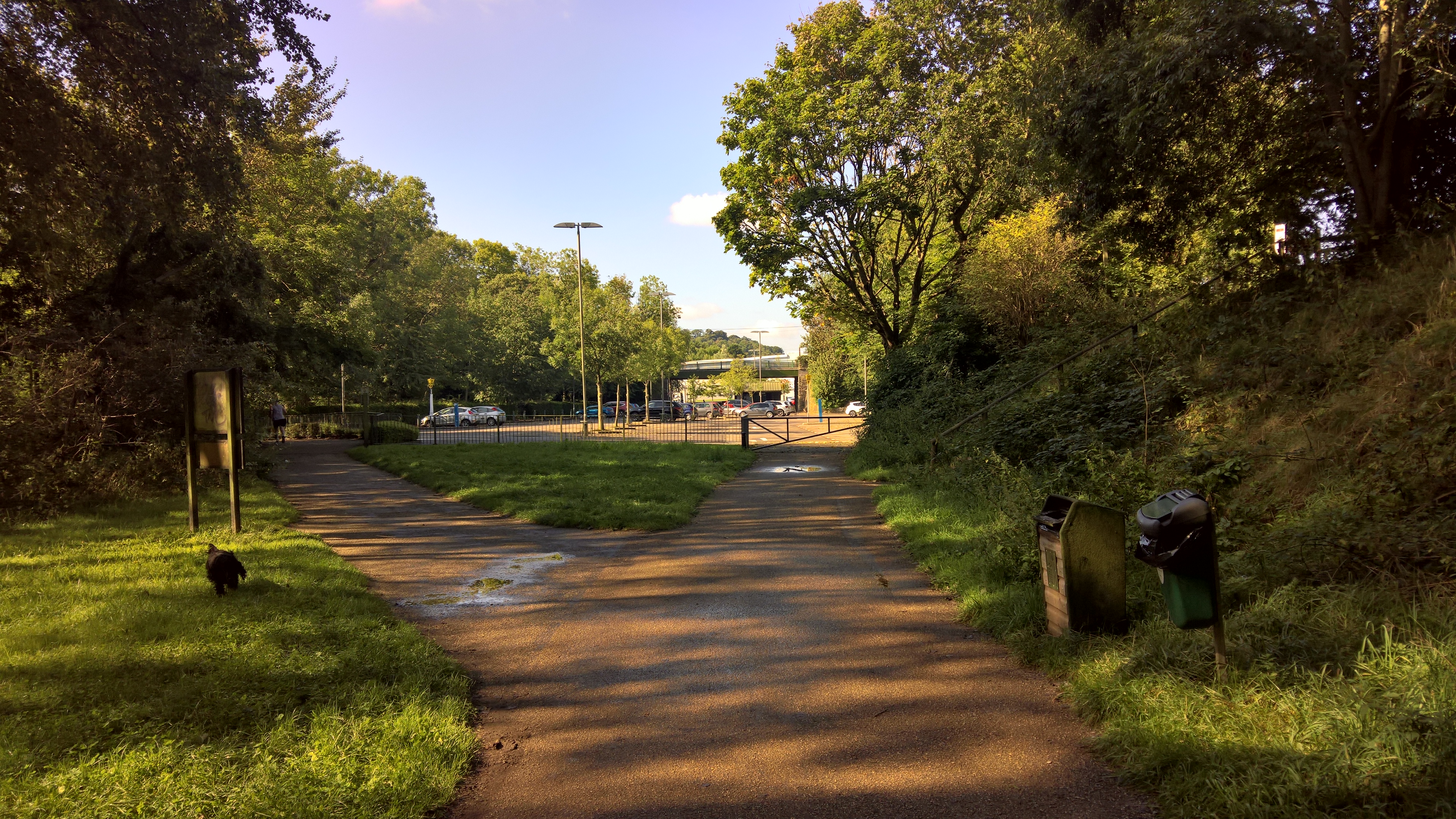
But back to the walk. Just back down from the Pen Mill Station there is a pedestrian crossing, and on the other side of the road is the entrance to the walk.
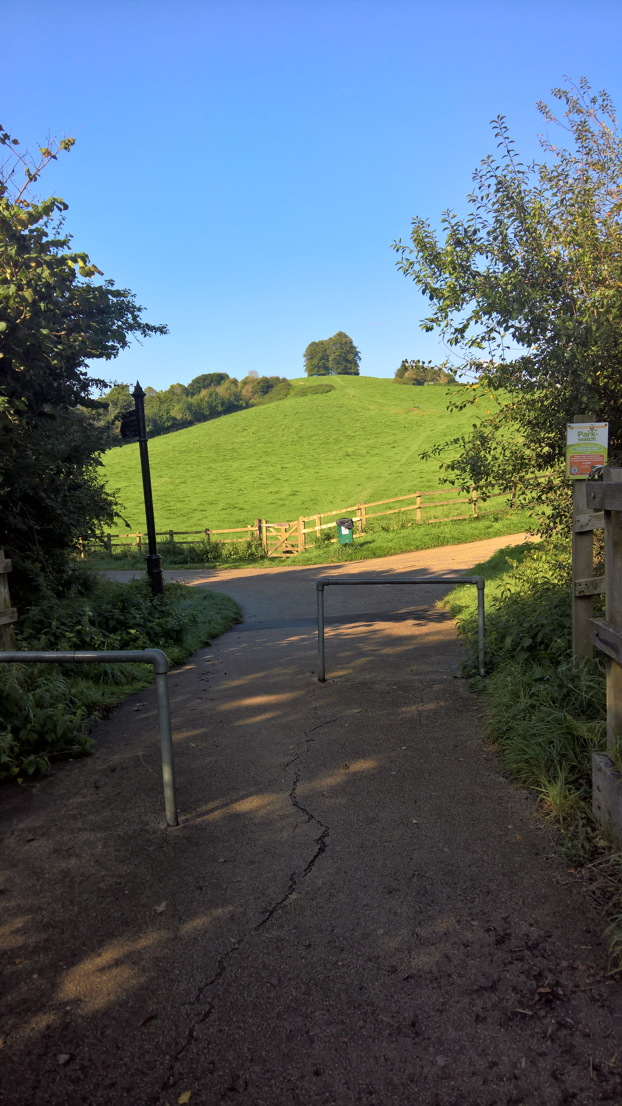
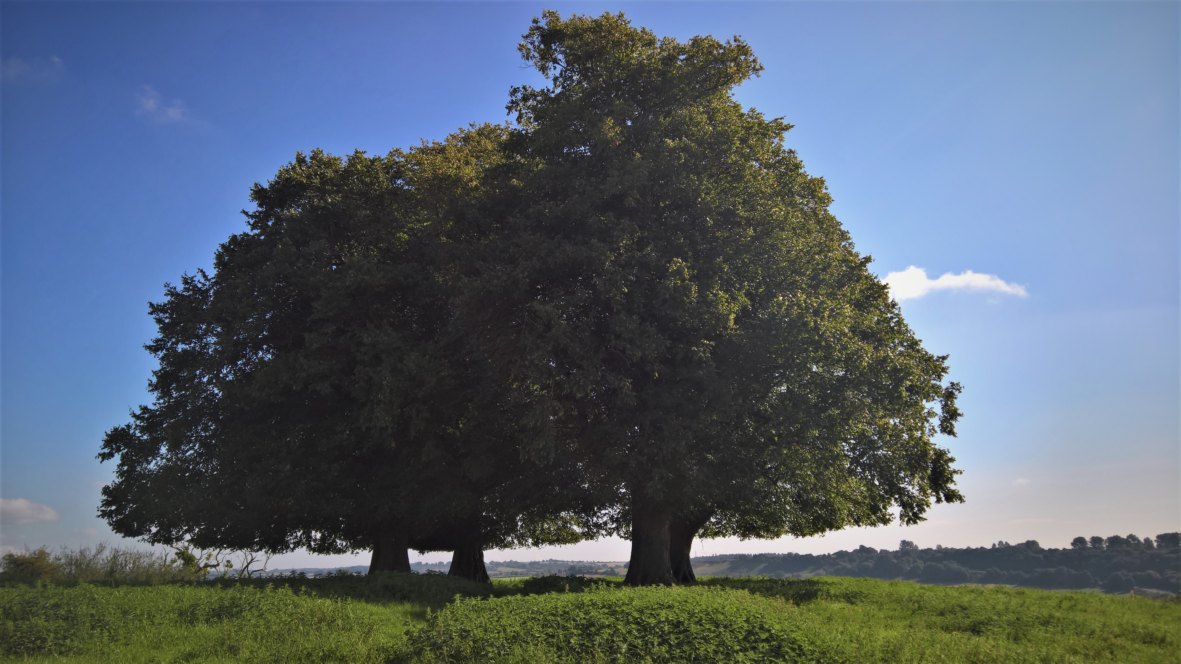
Ahead of you is Wyndham Hill itself, crowned by the four trademark Lime trees planted in 1862 to mark Queen Victoria’s silver jubilee – although there may well have been trees there before then – while veering off to the left is the Railway Walk path. As you can see from the 1901 map, it’s called the Railway Walk because, like so many others around the country, it was once the path of railway tracks, in this case the line from Pen Mill to Yeovil Town Station.
However, as ever, before I go any further, a little history. Wyndham Hill is one of many hills within the town, and on this side one of three principal ones, the other two being Summerhouse Hill, once part of the Newton Surmaville Estate, of which more later, and Penn Hill near the town centre, both now Yeovil Country Park walks.
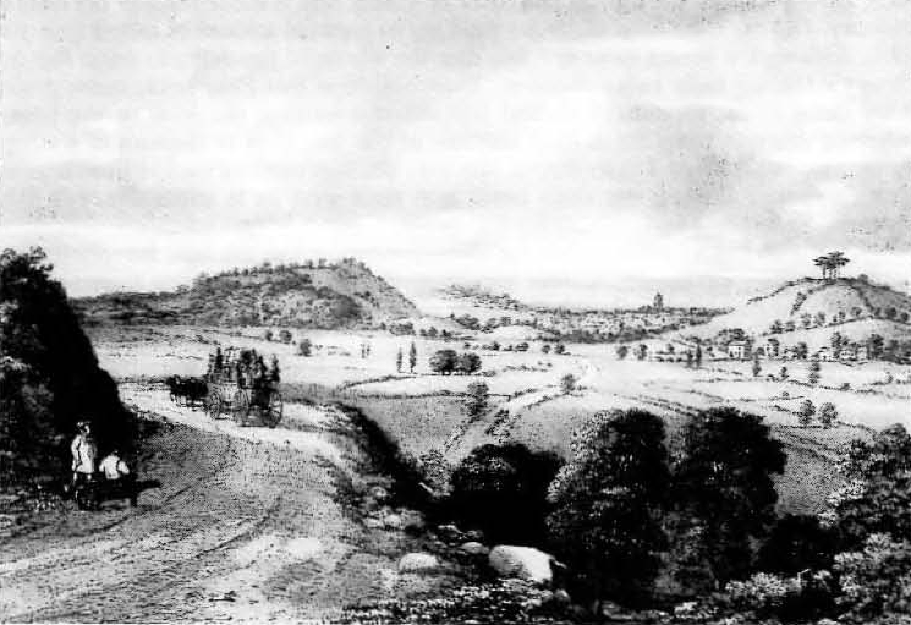
A 19th century sketch drawn from the Babylon Hill approach to Yeovil, showing, from left to right, Summerhouse Hill, Penn Hill and Wyndham Hill.
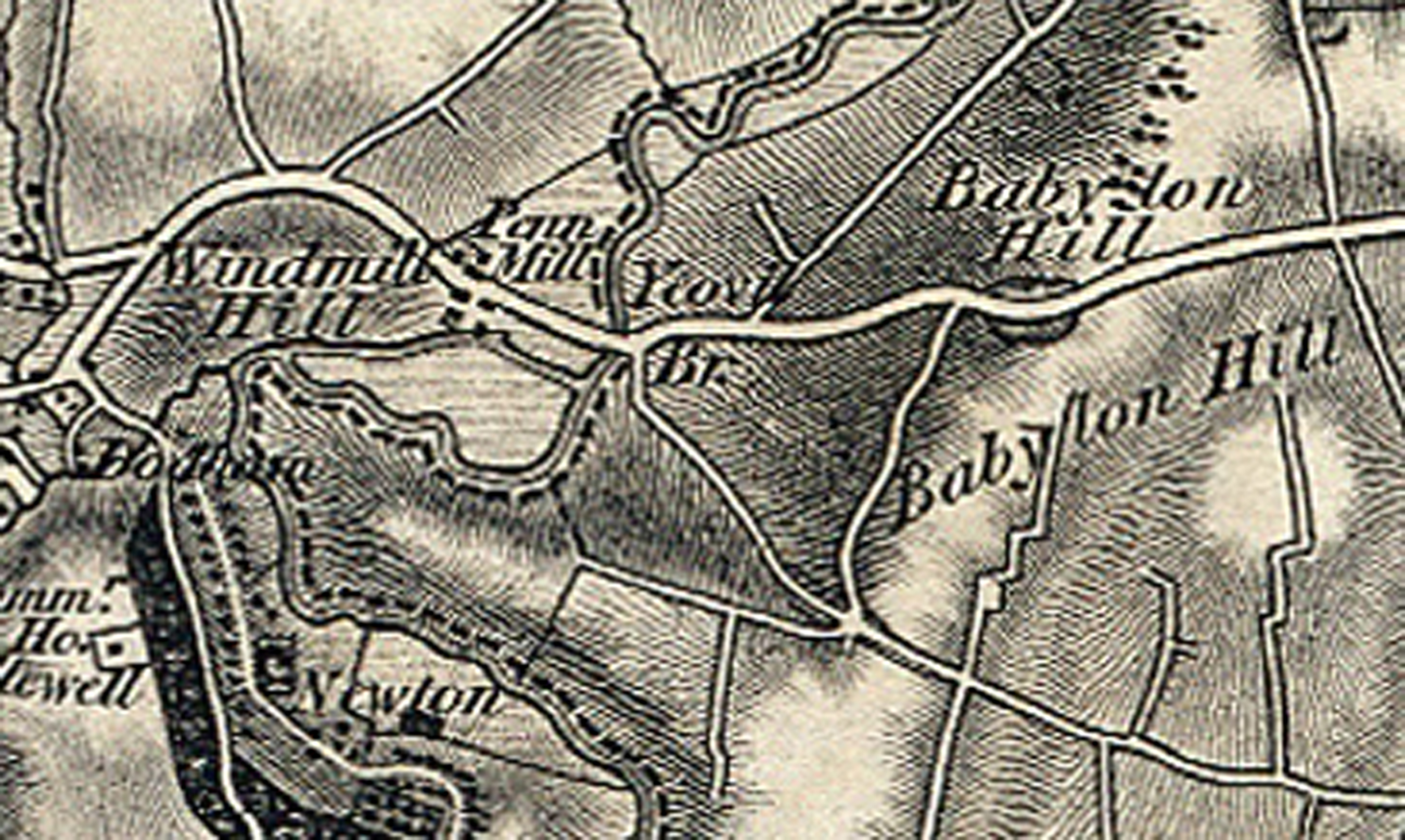
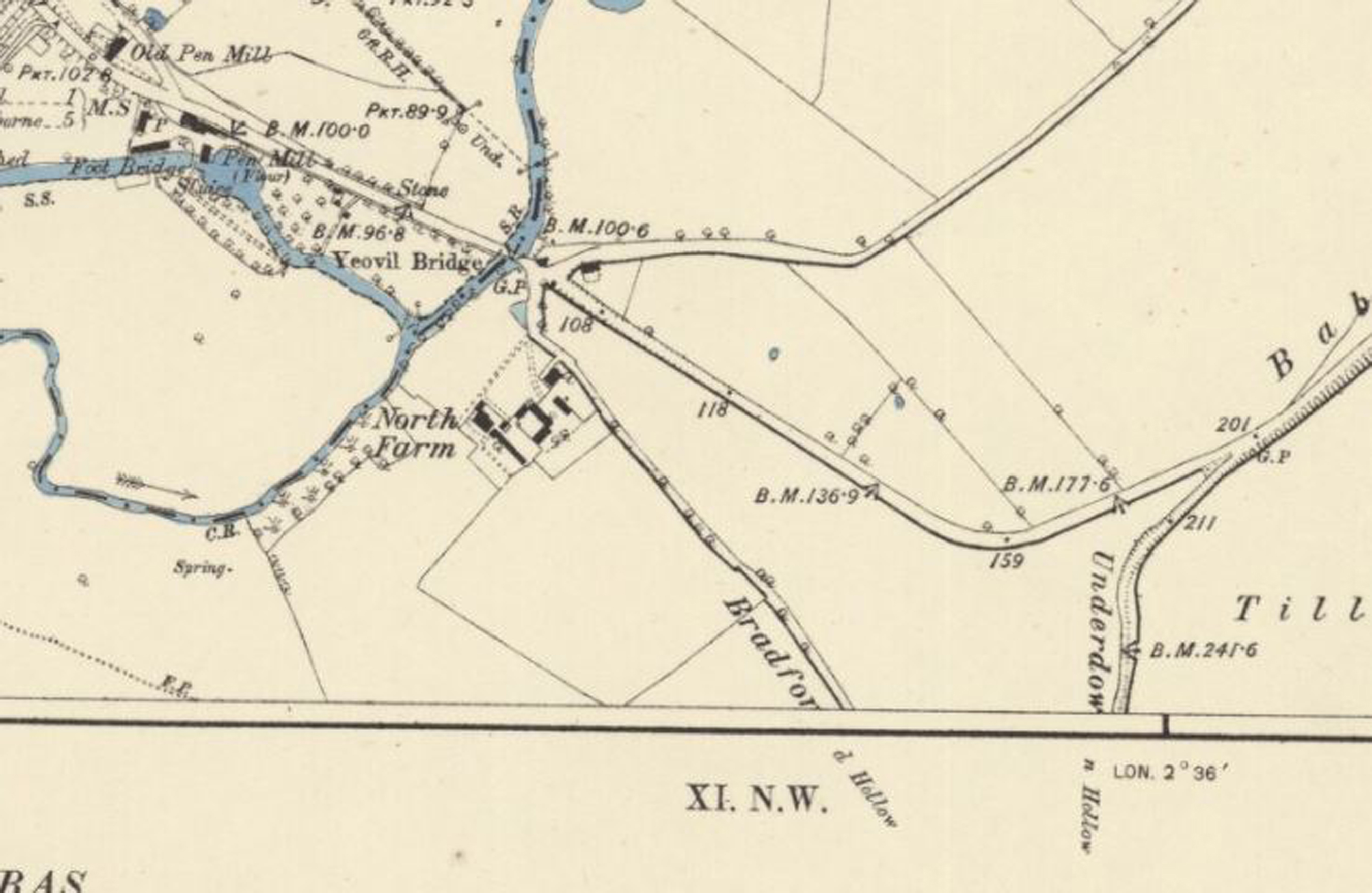
For those with any interest in the history of Yeovil itself, to diverge even more for a moment, Babylon Hill once took a very different route. It first went along the beginnings of the road to Old Compton Mill, then Over Compton and Nether Compton, and which is now a strip of houses built in the 80s known as Underdown. Underdown is a memory of the original name of what is now Bradford Hollow – as can be seen from the 1887 map below, the original Bradford Hollow was what is now the approach road to Argos and the rest of the Peel Centre Retail Park, and the woody walk up to the Bradford Road beyond it. Babylon Hill then went steeply up through what are now fields until it reached the top of the ridgeway, ending in what was apparently a very dangerous S-bend. The remains of the end of this S-bend now form the layby, in which is a stone commemorating the civil war Battle of Babylon Hill, which took place in the fields behind the layby.
The road was straightened into its current path sometime in the early 19th Century, as its original path is shown on the 1811 map…
…but it has its current path on the 1842 Tithe Map.
This map, published sometime between 1830 and 1840, shows a transition phase, where the old Babylon Hill road carries on up the fields past the beginning of what is now Compton Road, but then its original path stops and veers sharply up the hill, ending at a crossroads with the current Bradford Hollow.
Finally, this 1887 map shows the road layout pretty much as it remains to this day, albeit without the modern roundabout, which was put in when the Peel Centre was built in the early 90s on the old Express Dairy site. It also clearly shows the original names of the two Hollows.
But, back to Wyndham Hill…
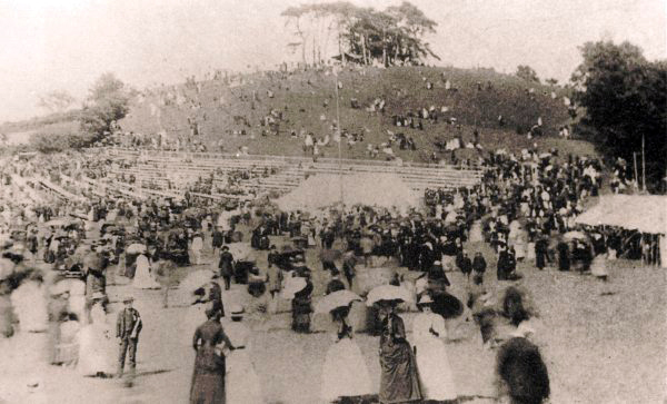
The hill has previously been known as Jubilee Hill, renamed for Queen Victoria’s 1887 Golden Jubilee, a photo of the celebrations for which is below…
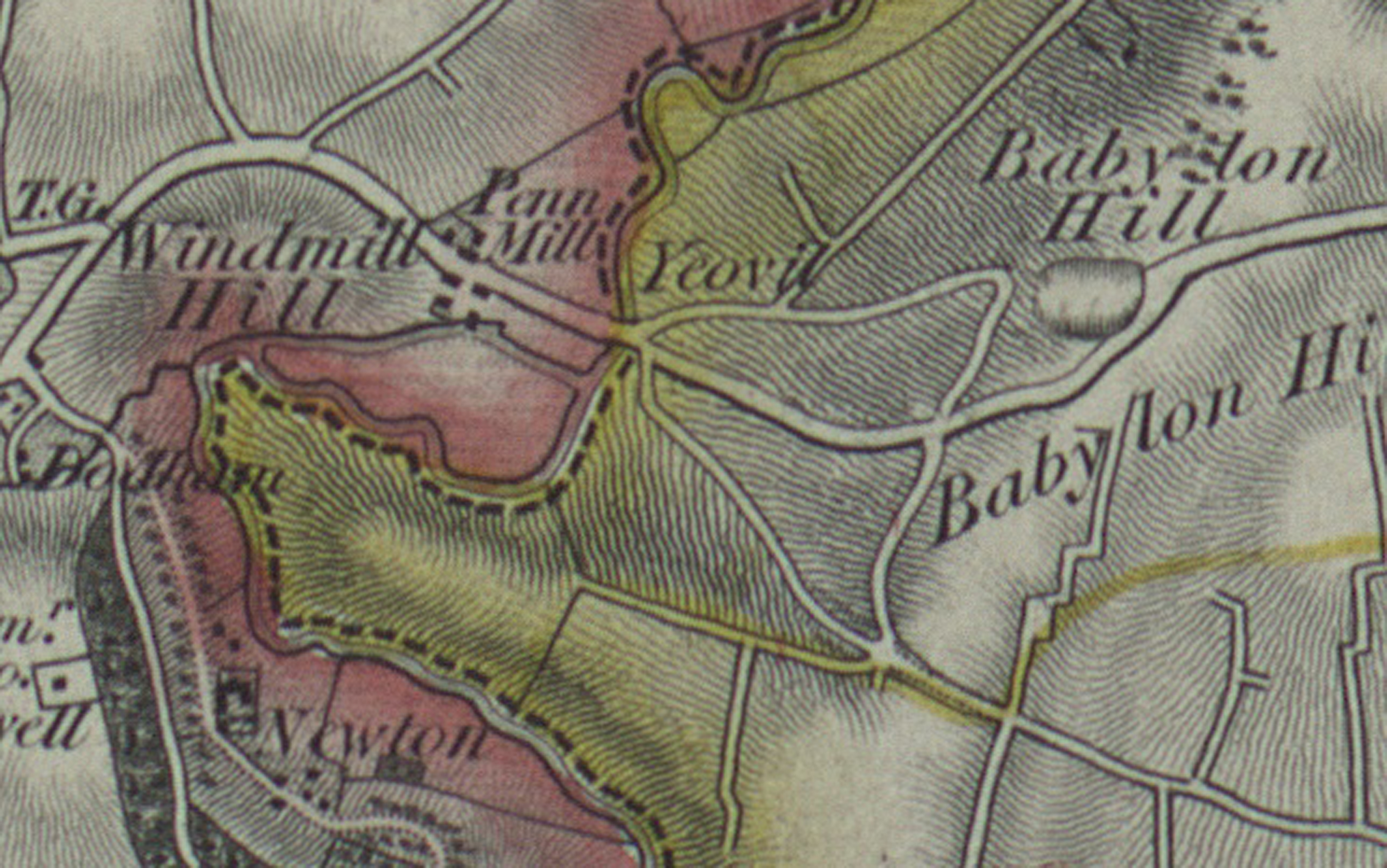
…Victoria Hill (for her silver jubilee), Windmill Hill, and Kingston Penn. As I’ve written about elsewhere, Kingston was the name of the royal manor that once owned the bulk of Yeovil in Saxon times, and continued to be the name of one of the main manorial holdings until the mid 19th century.
The name Wyndham Hill was given to it in the late 19th Century, named by George Harbin of Newton Surmaville after his uncle Wyndham Harbin, who acquired the site in 1837, although Ordnance Survey maps persisted in calling it Windmill Hill until 1964.
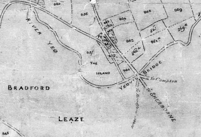
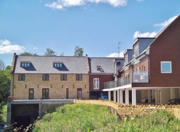
The word ‘Penn’ is Old British/Celtic for hill, which means Penn Hill actually means Hill Hill! Penn was also the old name for the area under the hill, from where the Pen Mill Hotel sits, and the old Pen Mill itself of course, also once known as Chudleigh’s Mill after its one-time operator (although that too was also once owned by the Newton Surmaville estate), and all the way down to the river crossing at Yeovil Bridge.
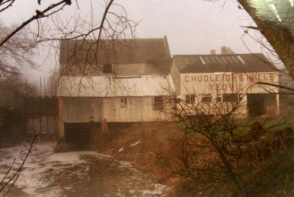
The mill has now been converted into houses, of course.
For those interested in deep history, historian Katherine Barker wrote a thesis in 1986 (the link opens a PDF of the whole thesis) that Penn was also the site of the battle in 658 between the forces of Cenwalh, King of the West Saxons, and the old British, recorded in the Anglo-Saxon Chronicle as ‘aet Peonnum’. There are, of course, other claimants to the site of the battle. Cenwalh was also one of the founders of the first church at Sherborne, later to be replaced by the building known as Sherborne Abbey.
Wyndham Hill has had a long list of owners over the centuries – for more details, go here – but, as I’ve said, in the middle of the 19th century it came into the ownership of the Harbin family of Newton Surmaville, and remained so until South Somerset District Council bought it in 2000 from the last descendant of the Harbins to own the estate – and our landlady when we first lived at Newton Farmhouse – Mrs Sophie Rawlins, née Sophie Wyndham Bates Harbin.
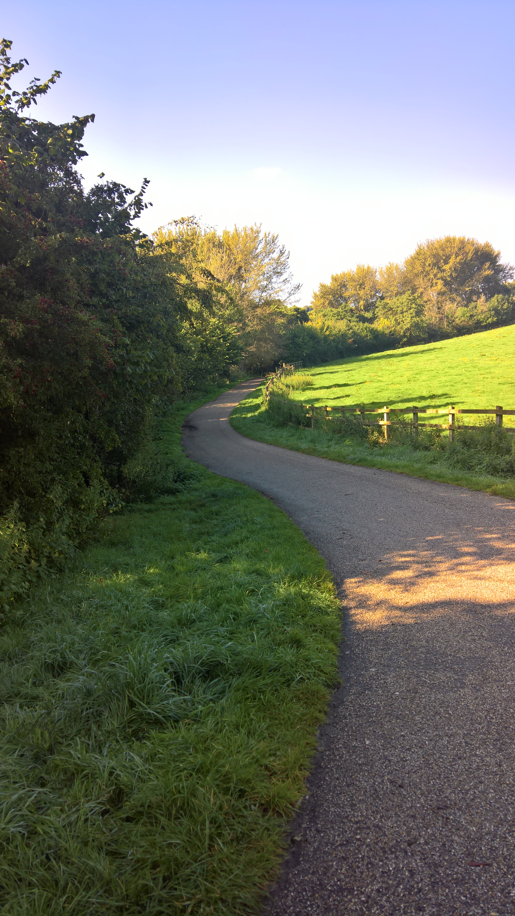
So, back to the walk. Personally, I like to take the river walk, and leave the hill until last.
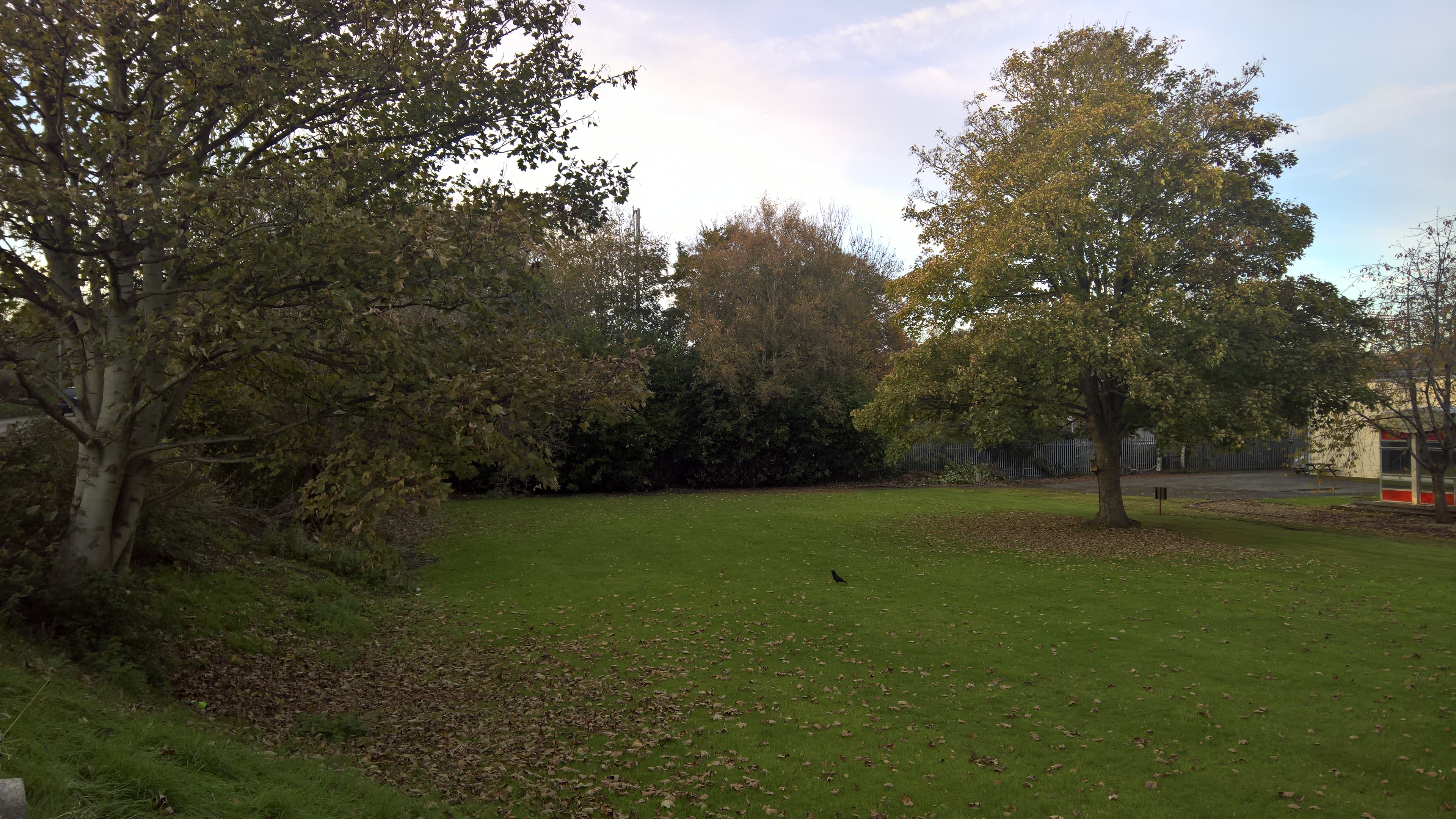
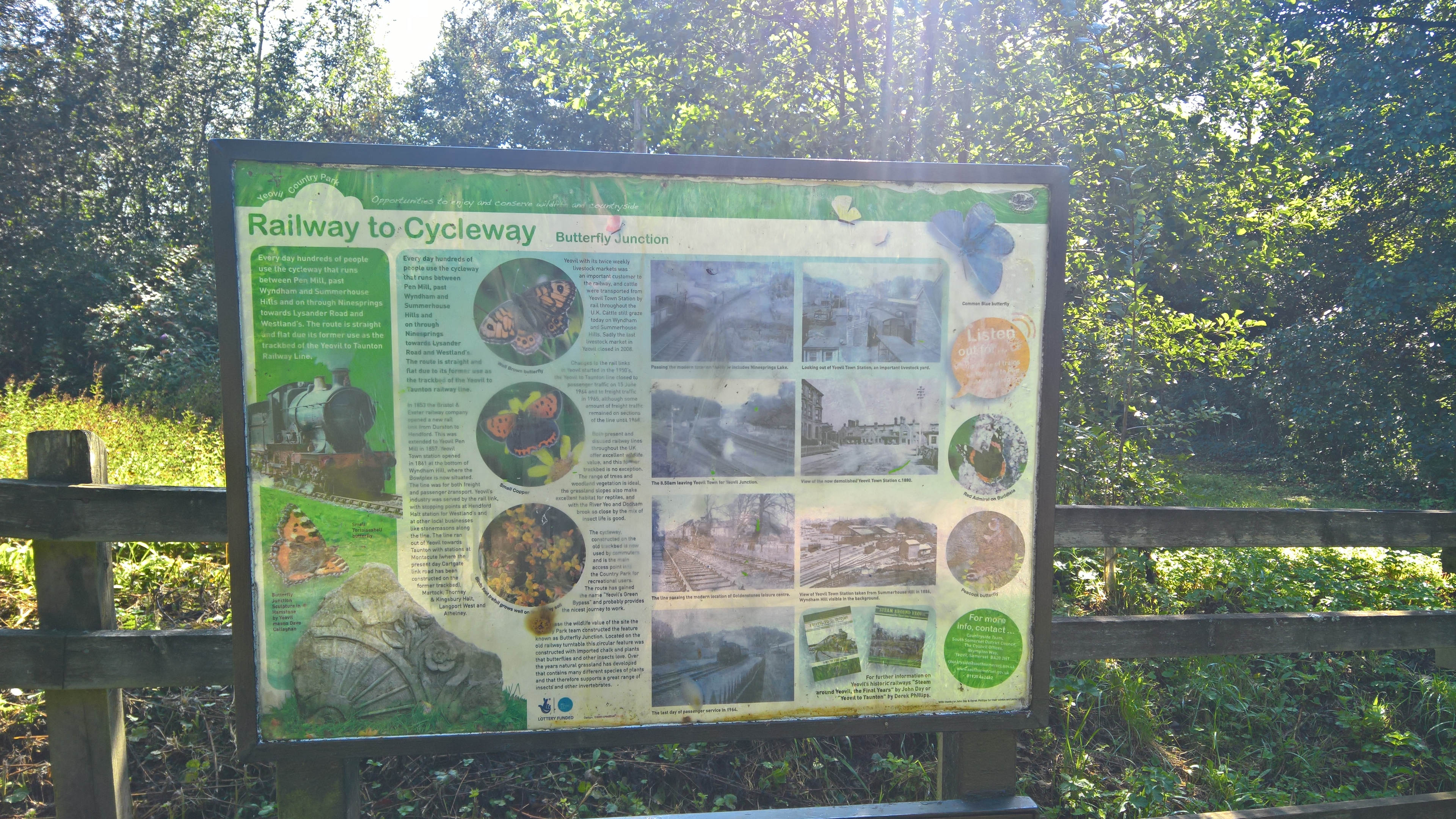
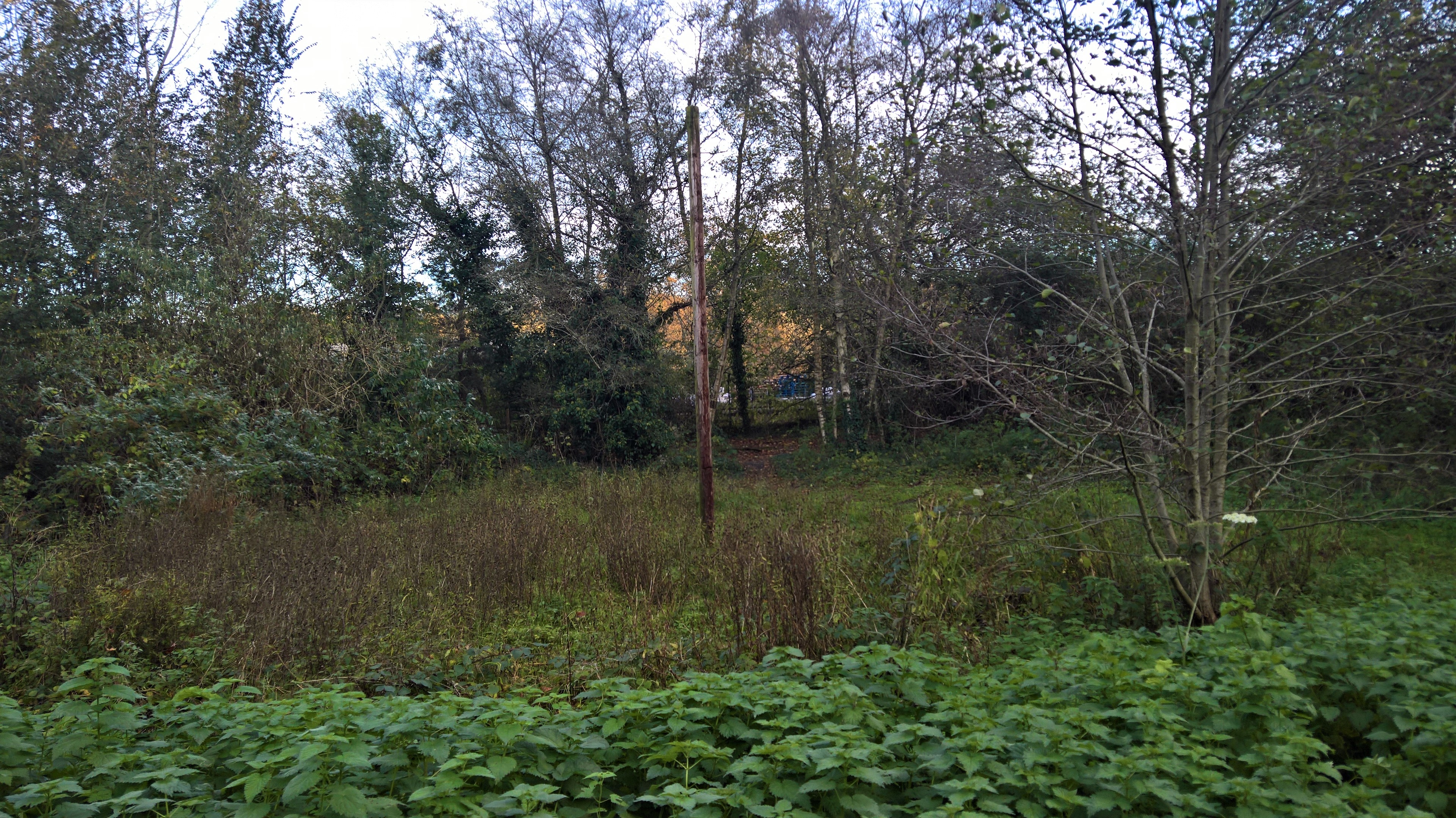
A little way along the path, you come across this information board, at a point called Butterfly Junction, because in the more temperate months the area is full of them, along with all manner of birdlife. On a walk down there the other day I saw Nuthatches, Tree Creepers, a Lesser Spotted Woodpecker, Grey and Pied Wagtails, and myriad Long-tailed Tits, as well as all the usual more common species.
But what many people don’t know is that just behind this sign are the last vestiges of the old railway line. If you look at the old map, it marks an engine shed, and a circle denoting a turntable…
…and, under this unnoticed patch of scrub…
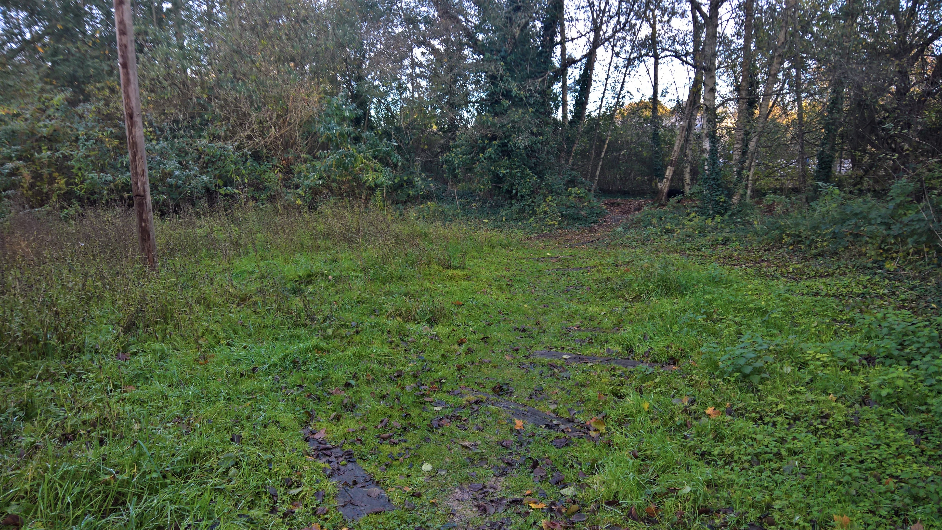
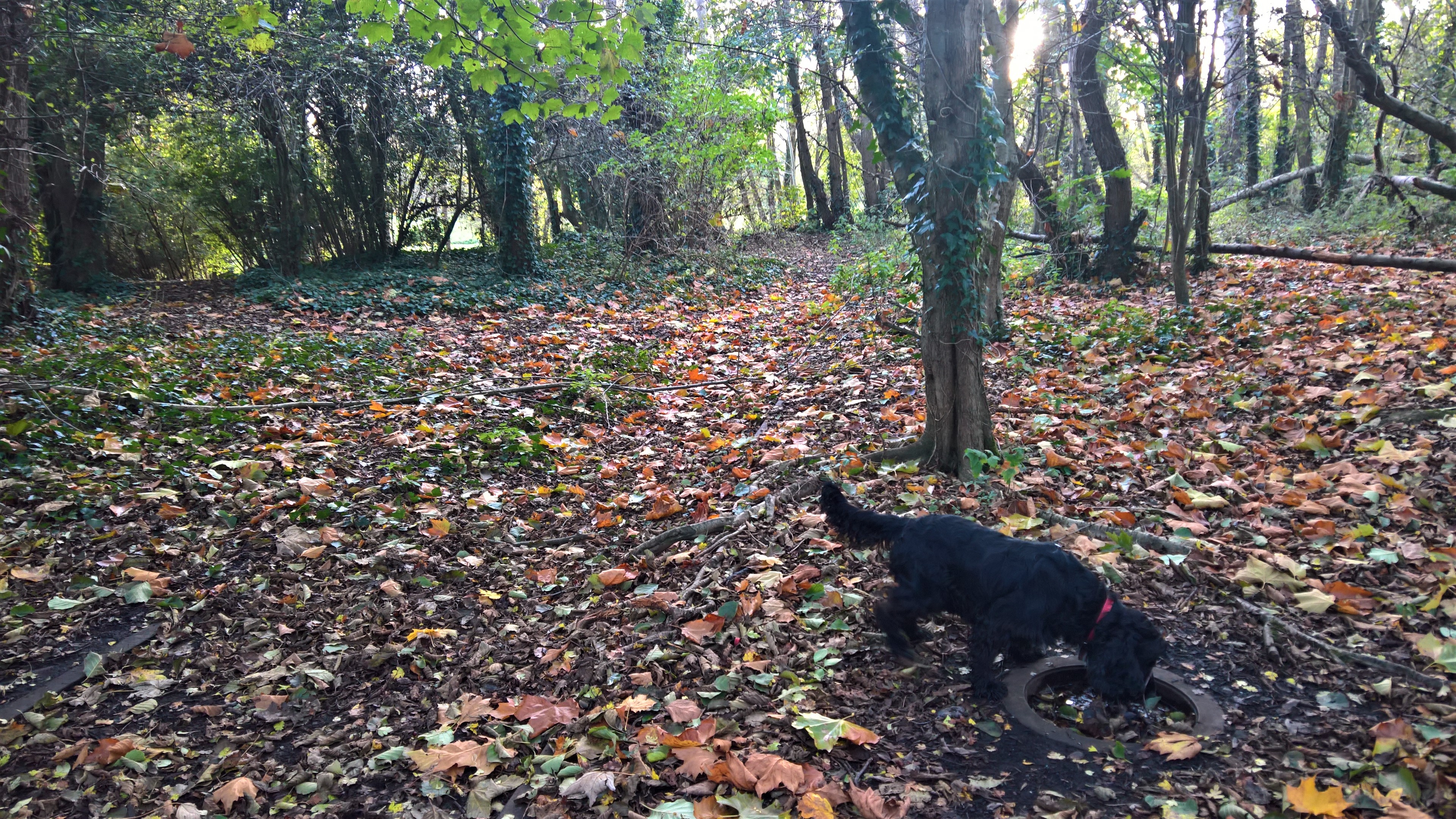
…lies a circular formation of old railway sleepers, the last remains of the turntable. But venture further off the path and into the trees…
…and you’ll find a short length of track that leads to…
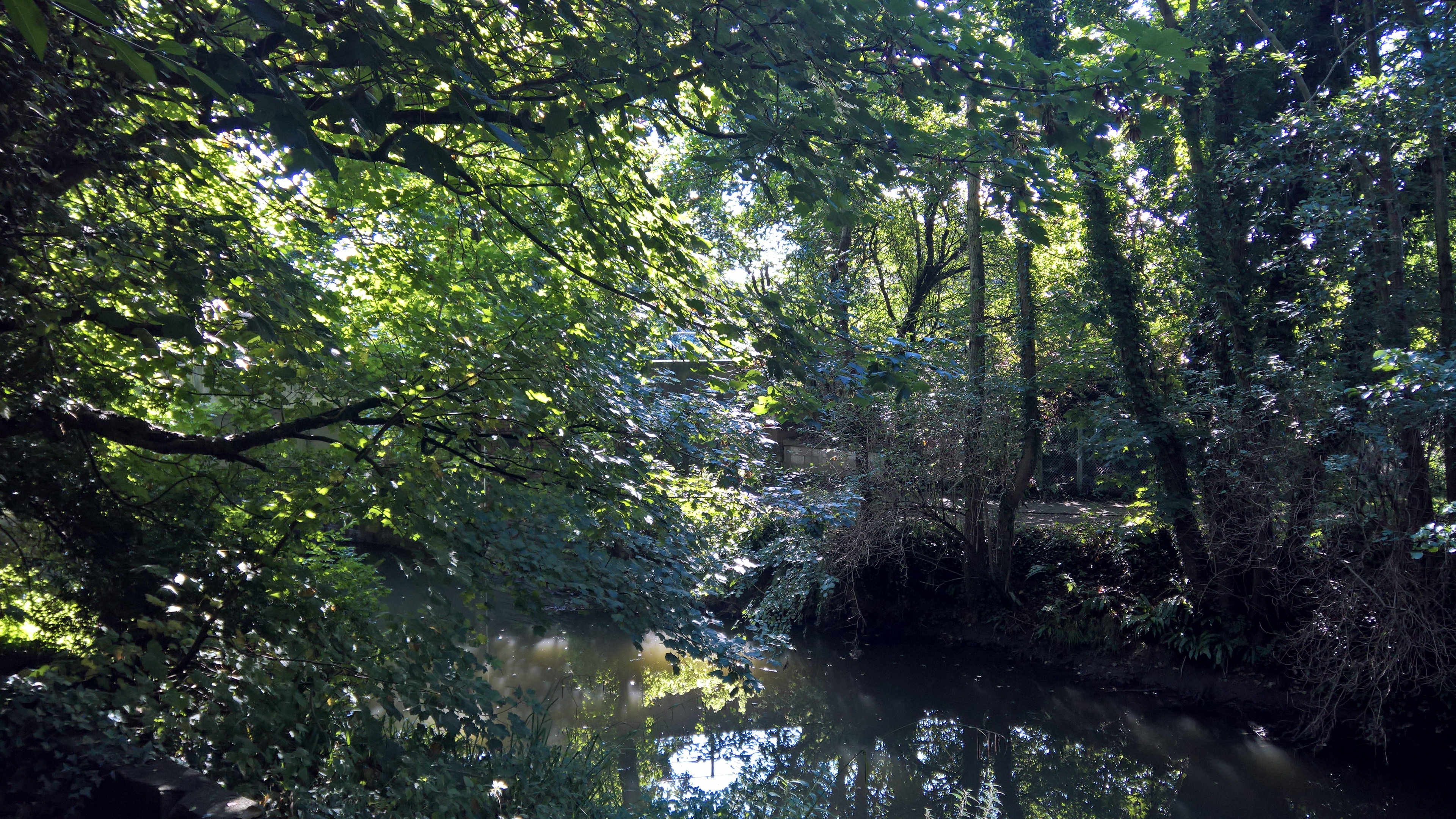
…the remains of the engine shed. Personally, I prefer to stay within this little wooded area, rather than take the official path, as you get nearer to the river. But this isn’t actually the river Yeo, as many think, but the old mill leat. The Yeo actually runs through what is now the golf course, to reappear further along the walk.
Nonetheless, shortly the wooded path runs out, and you’re back to the old railway track.
But through the trees, you can still glimpse other industrial remains…
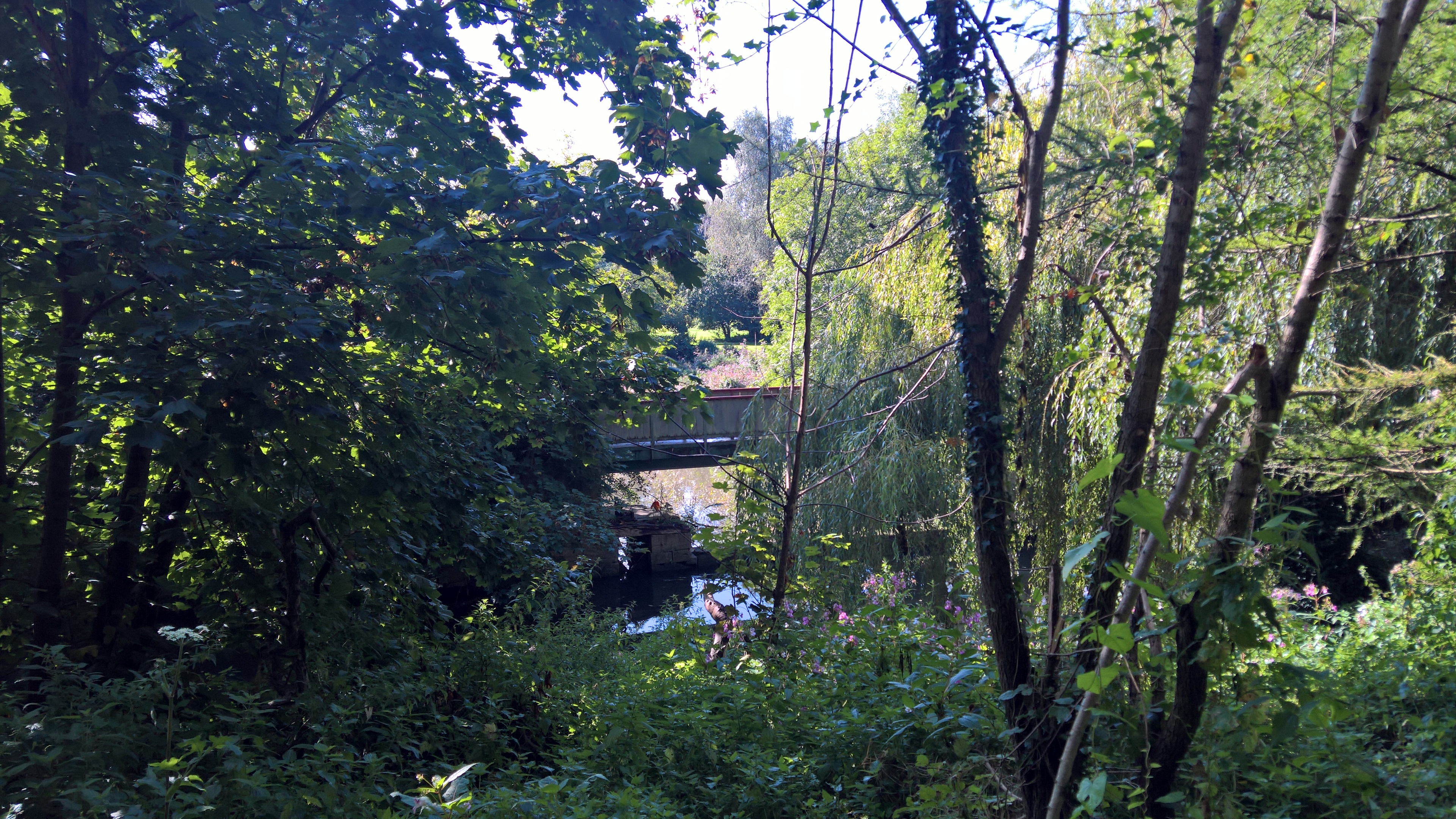
…like this bridge, that still traverses the old weir where the mill leat first diverges from the Yeo, and now used by golfers to cross from one part of the course to another.
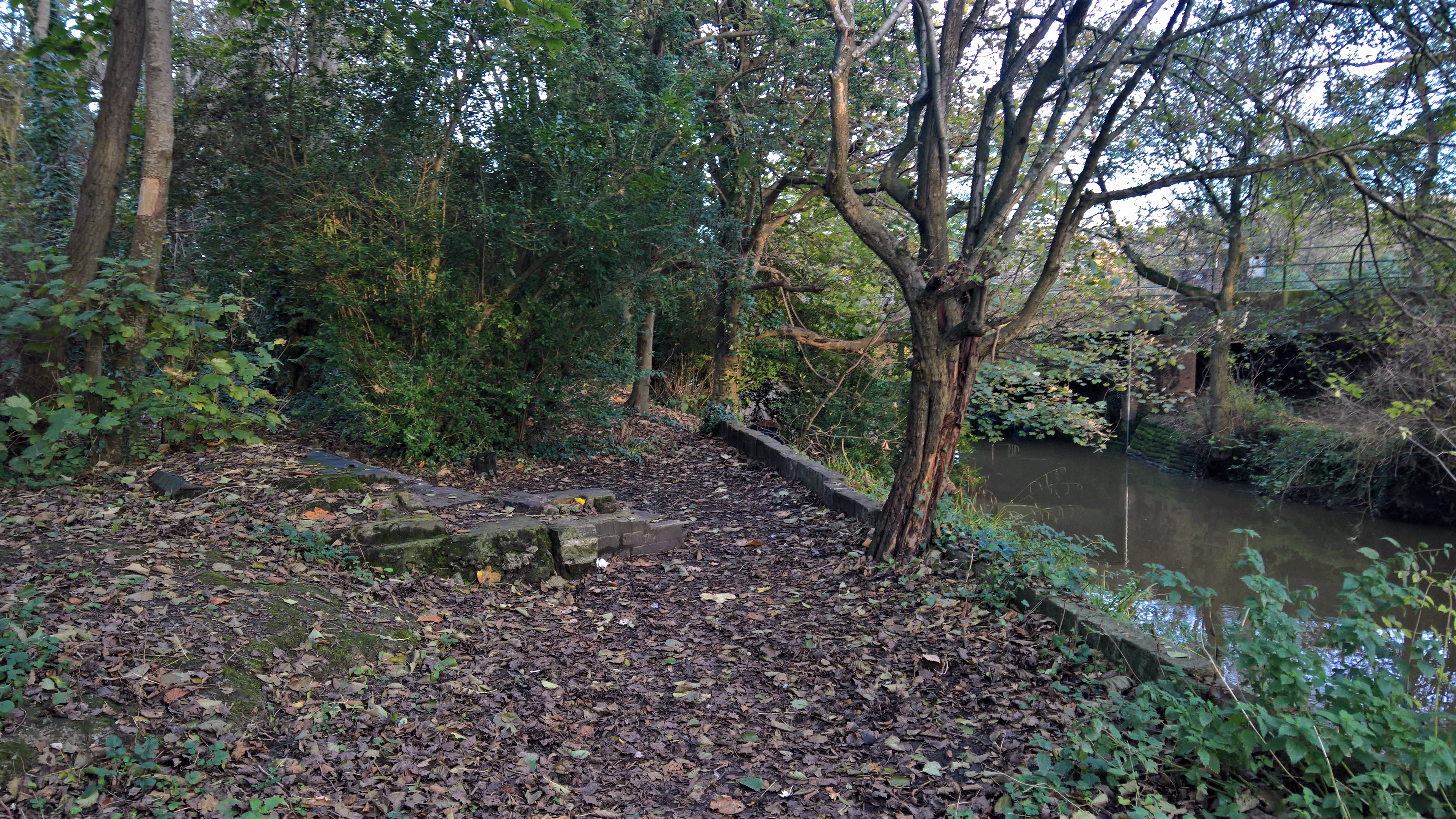
The river does have its moments along here…
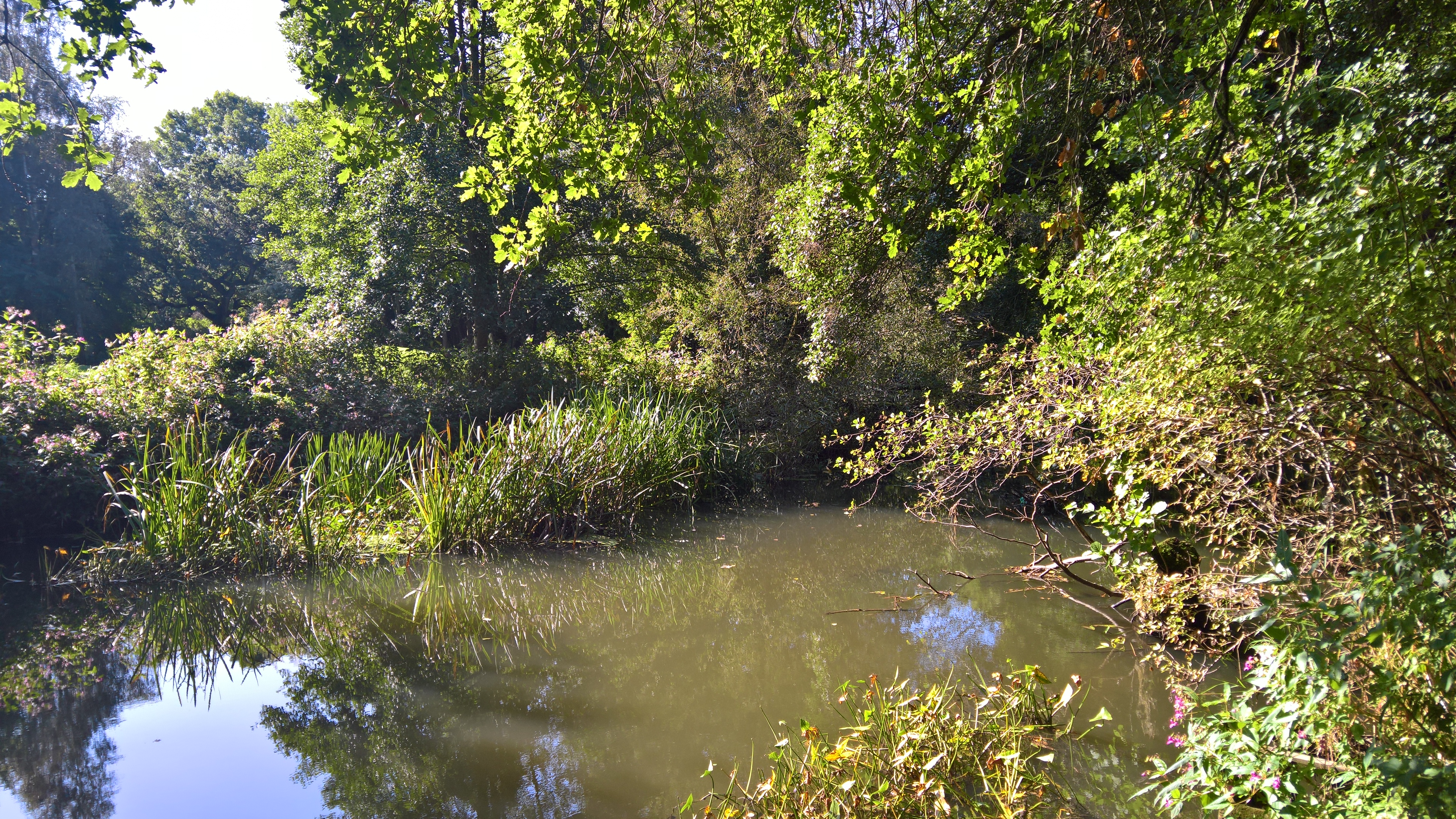
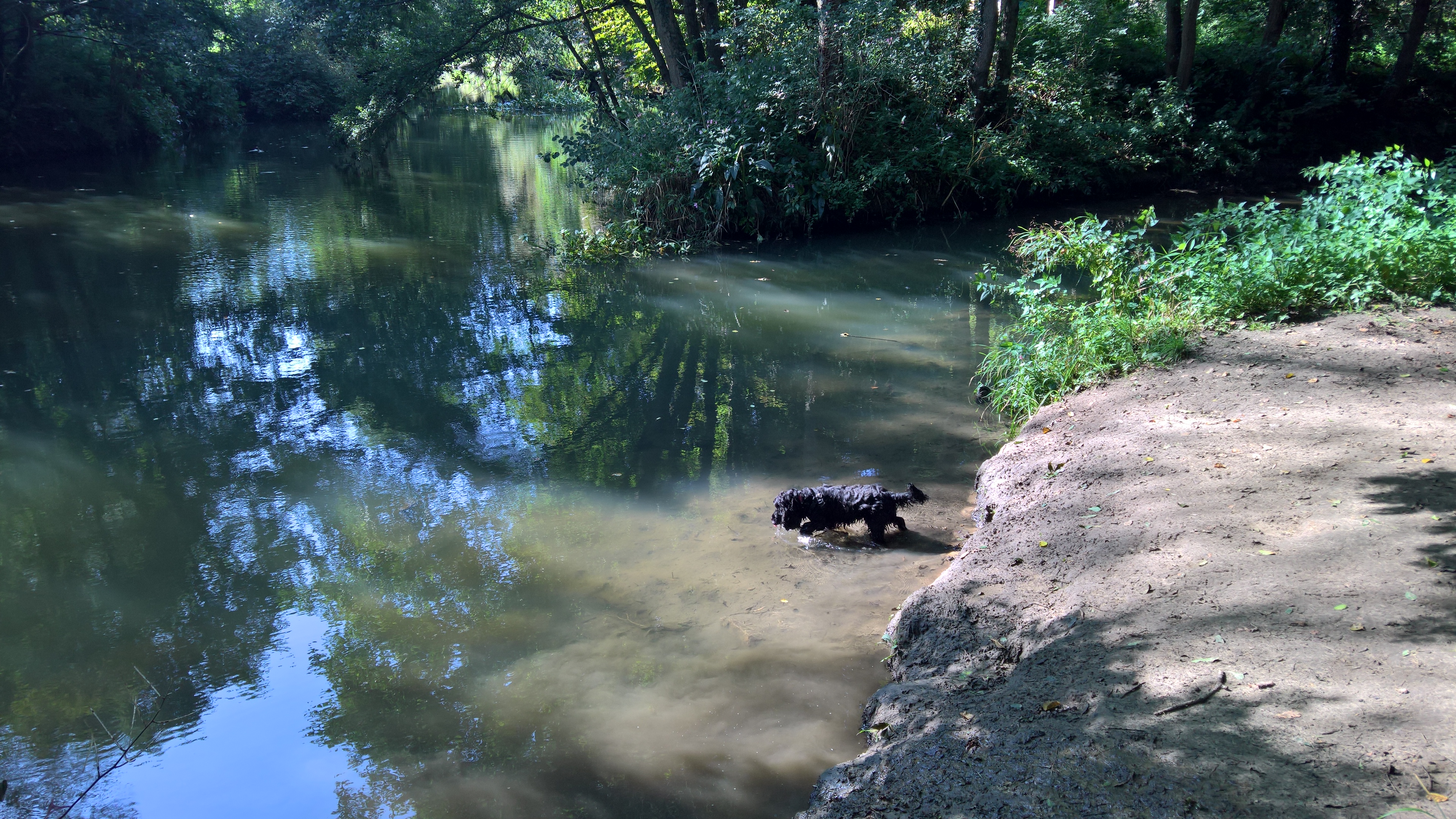
…and there are a few opportunities to get closer to it…
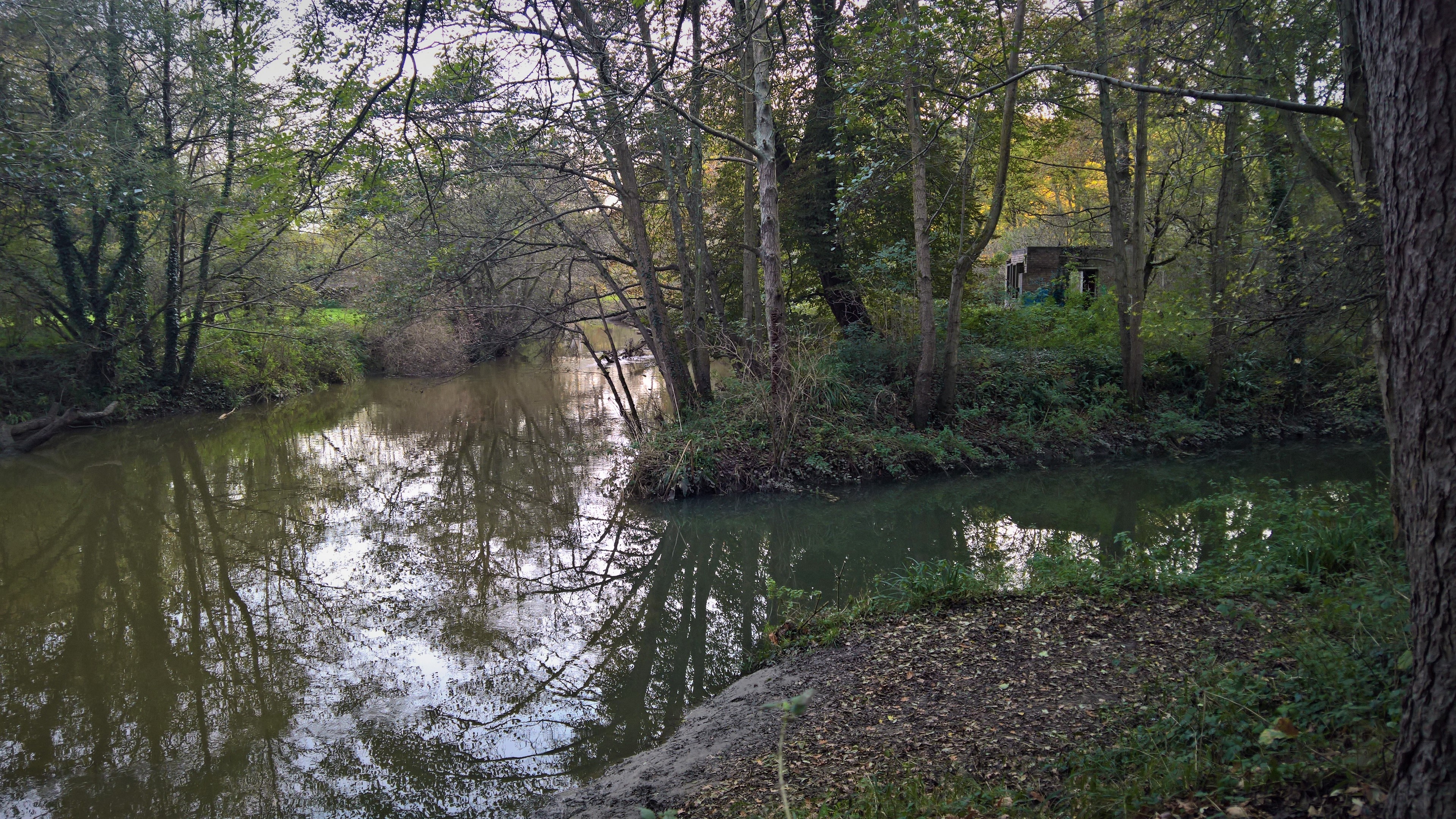
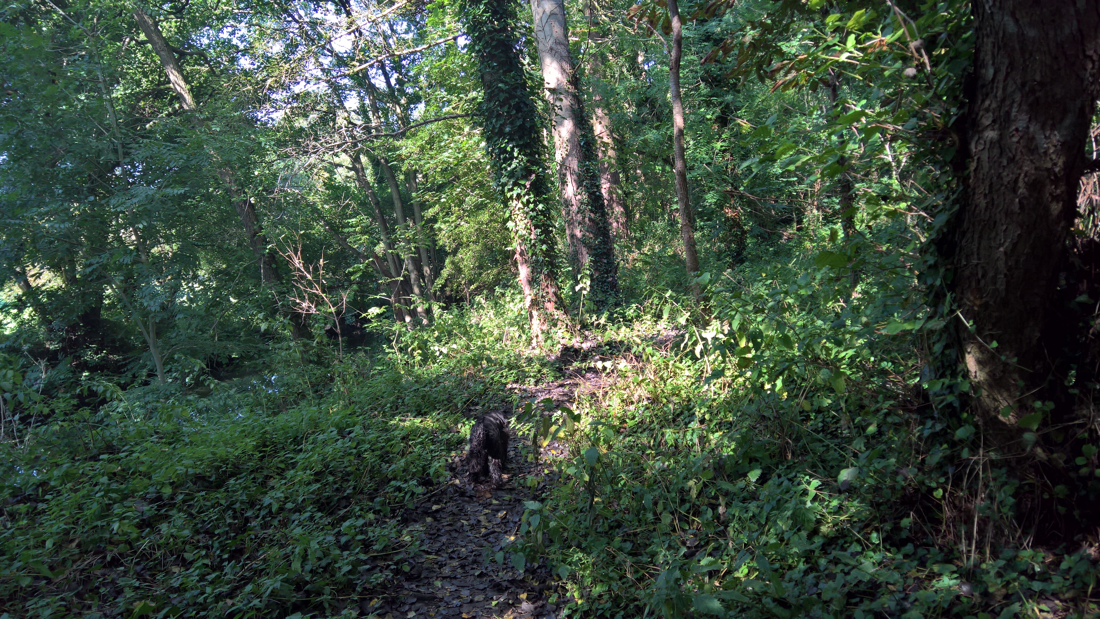
This is where the Yeo diverges from the walk, and we follow instead Dodham Brook, which I have blogged about before. The derelict building on this spur of land to the right of the picture is just within the Newton Surmaville estate, and defies identification. I, and others, used to think it was an old railway building, but I now think this is unlikely, as the inside is almost filled with three metal tanks, so possibly something to do with water, although Newton Surmaville didn’t have mains water until relatively recently. The building also only appears on the Ordnance Survey maps in 1962, and the Town Station was closed in 1967. I have asked the current owners of the estate, but as yet there’s been no reply. Woody thinks the river is far more important anyway…
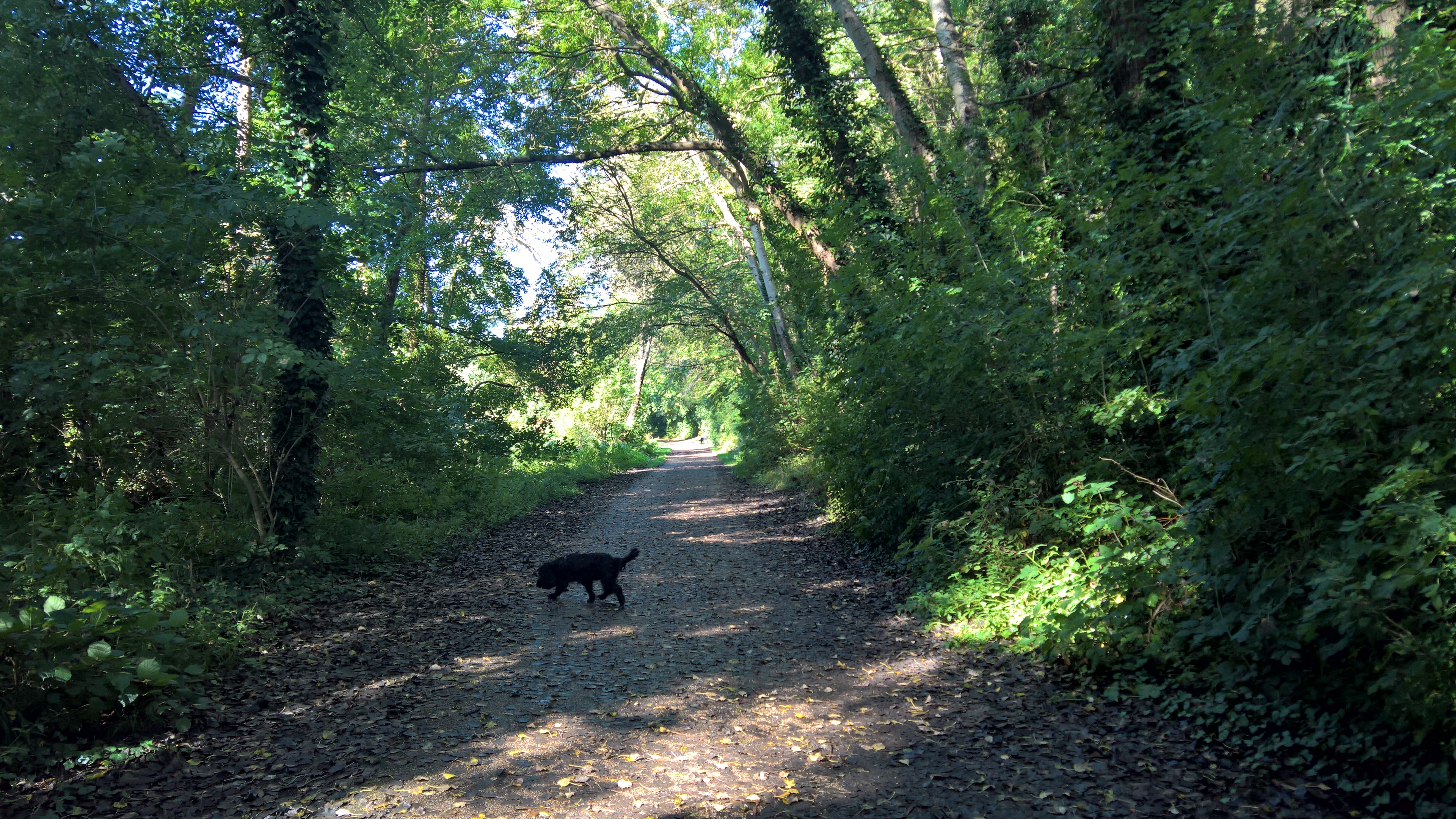
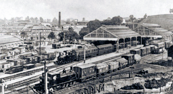
We now head back to the path, which shortly ends at the Cineworld complex that sits on the site of the old Yeovil Town Station.
The left hand path carries on along the path of Dodham Brook, which as I’ve said elsewhere can be walked almost all the way to its source.
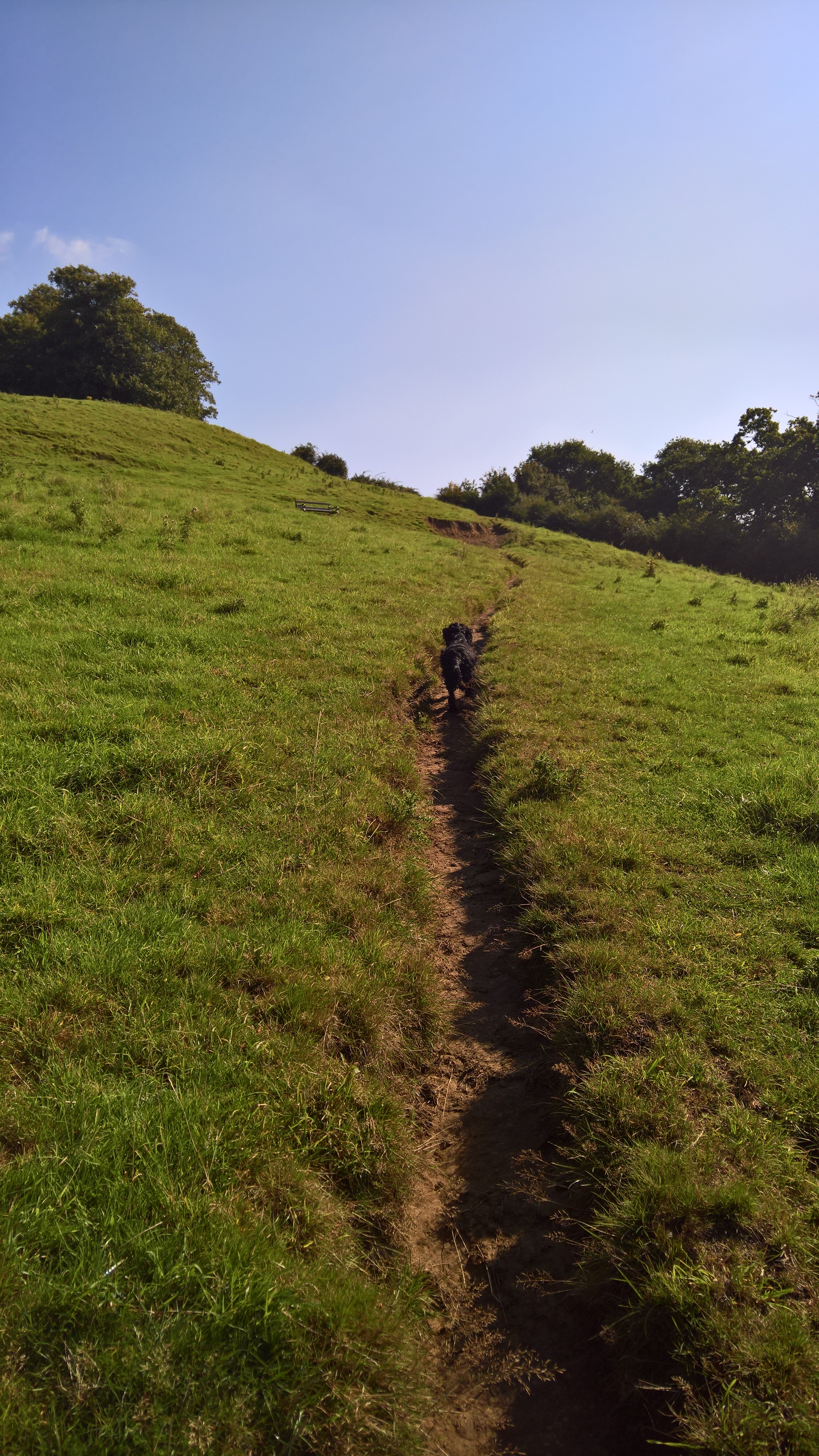
But we now leave the railway path, and head up these steps onto Wyndham Hill itself.
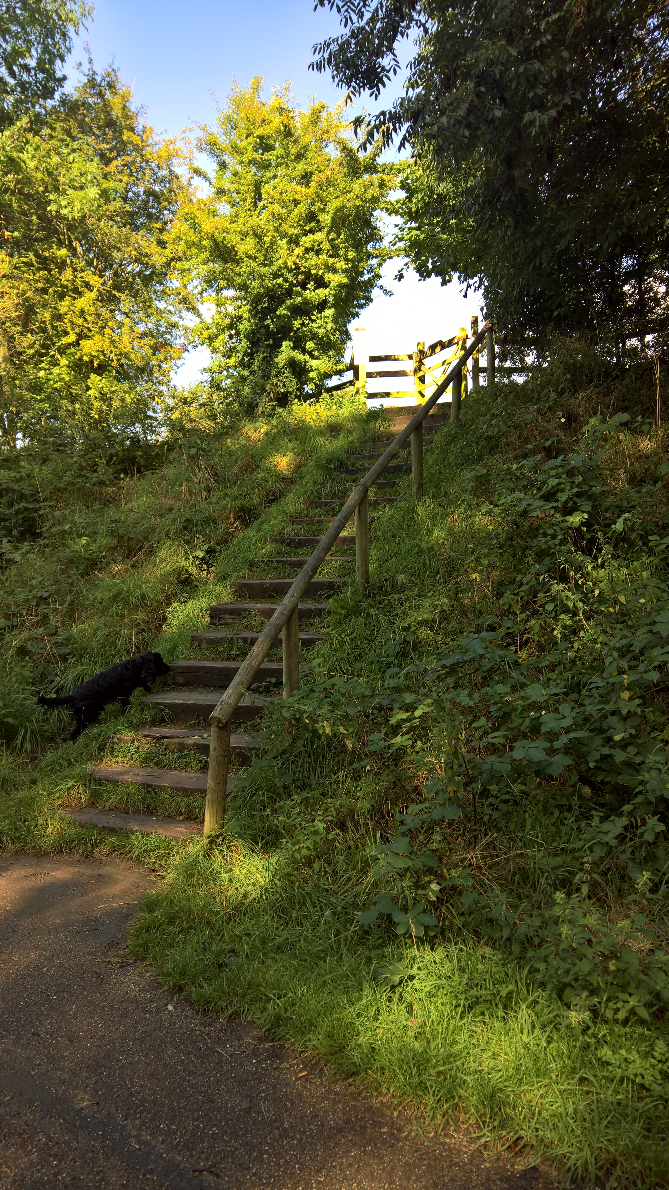
Take care though – there are often cows grazing on the hill, although they’re usually very docile, and very used to walkers and their dogs. Best to put your dog on a lead though when you get near to them.
Now it’s a simple, short but steep climb to the top of the hill…
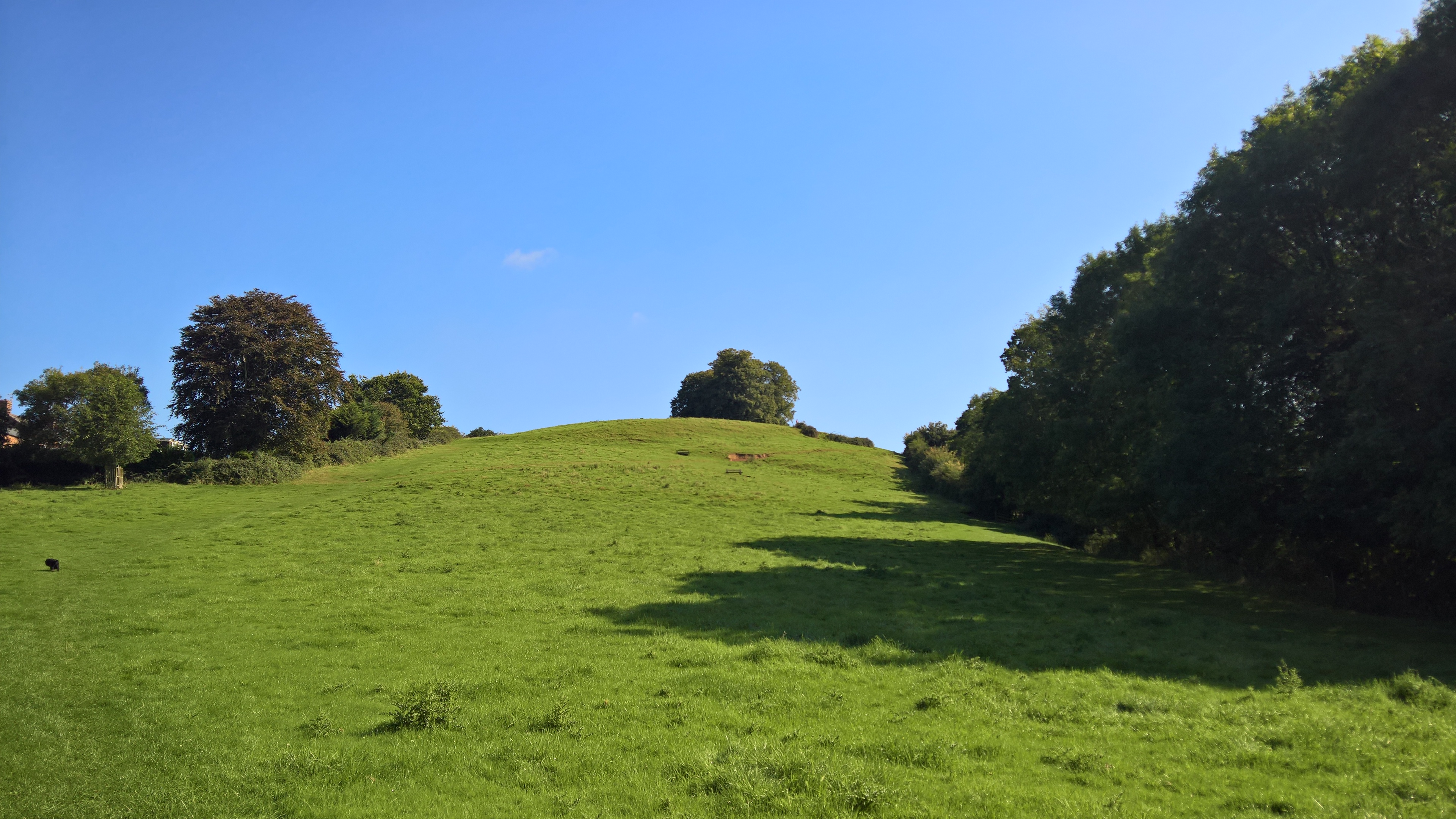
…where countless thousands of walkers and their dogs have gone before.
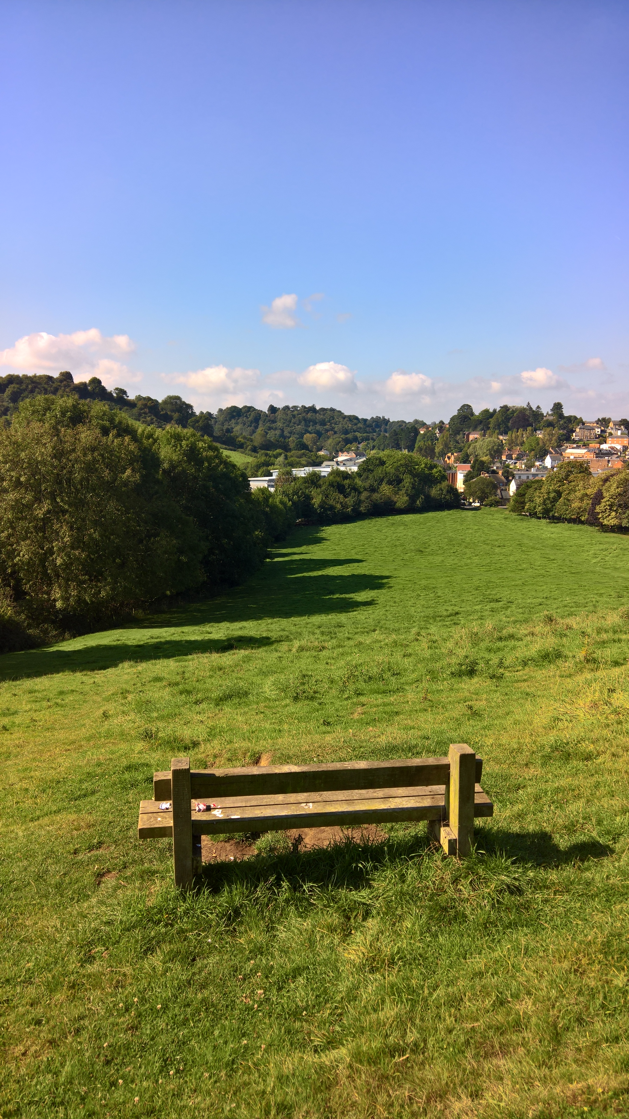
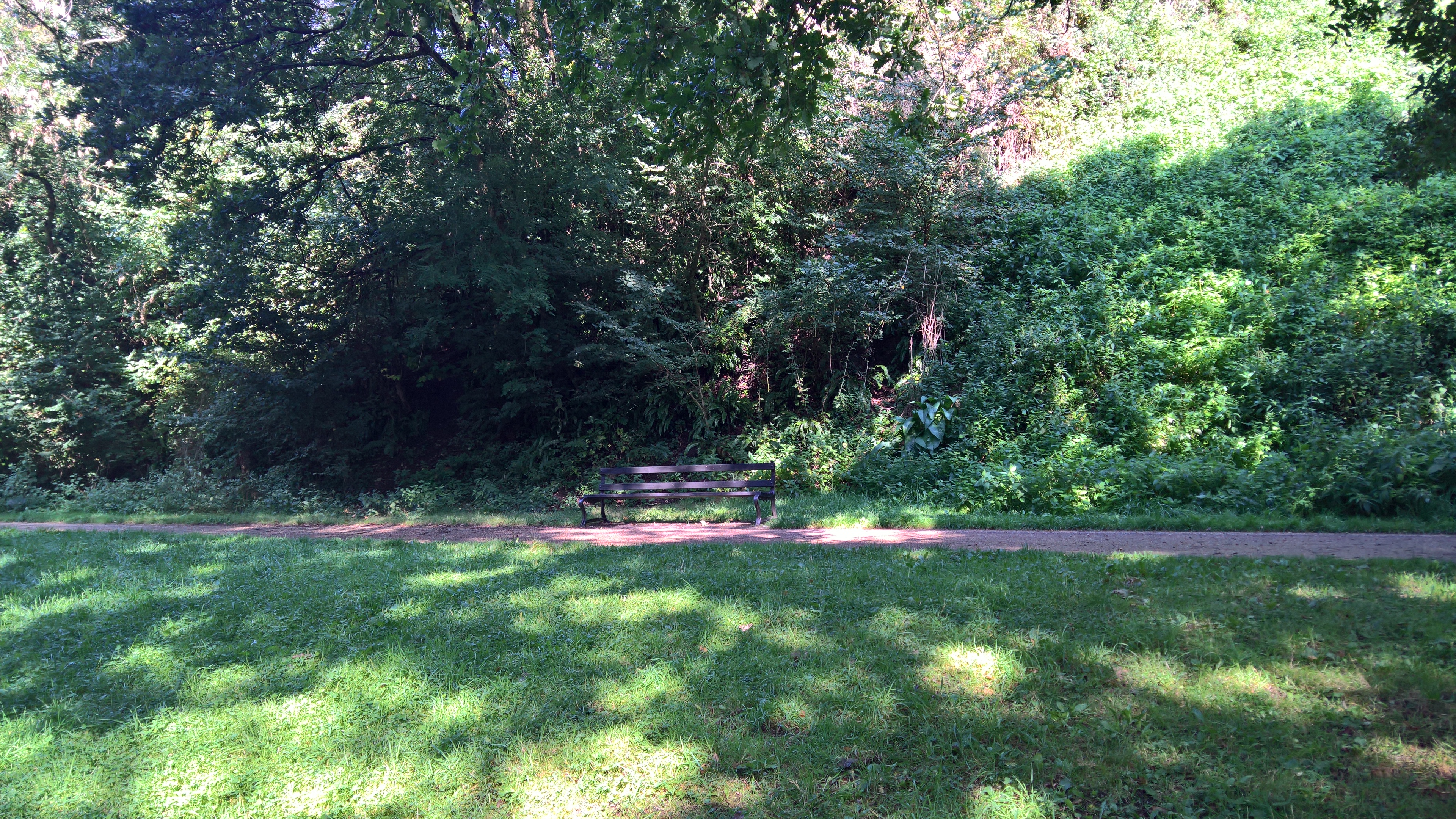
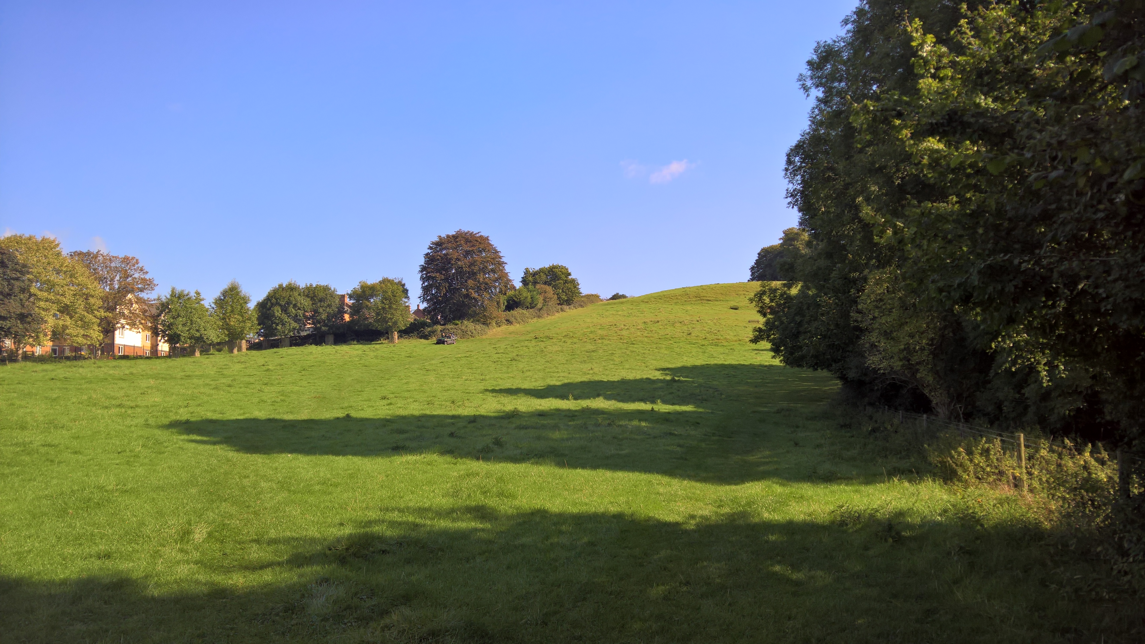
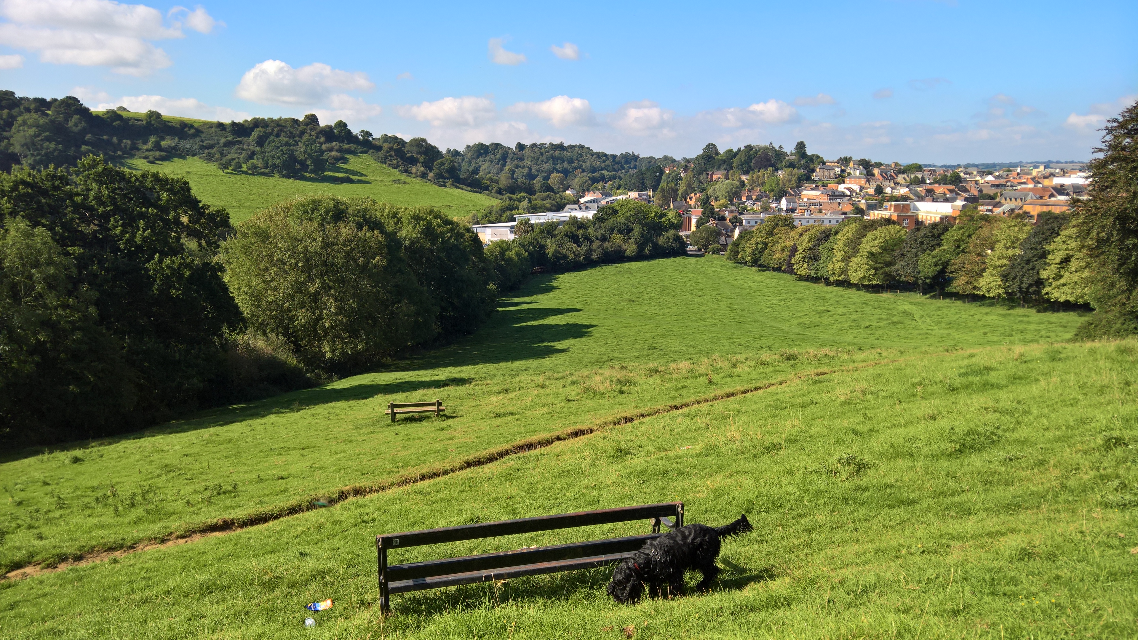
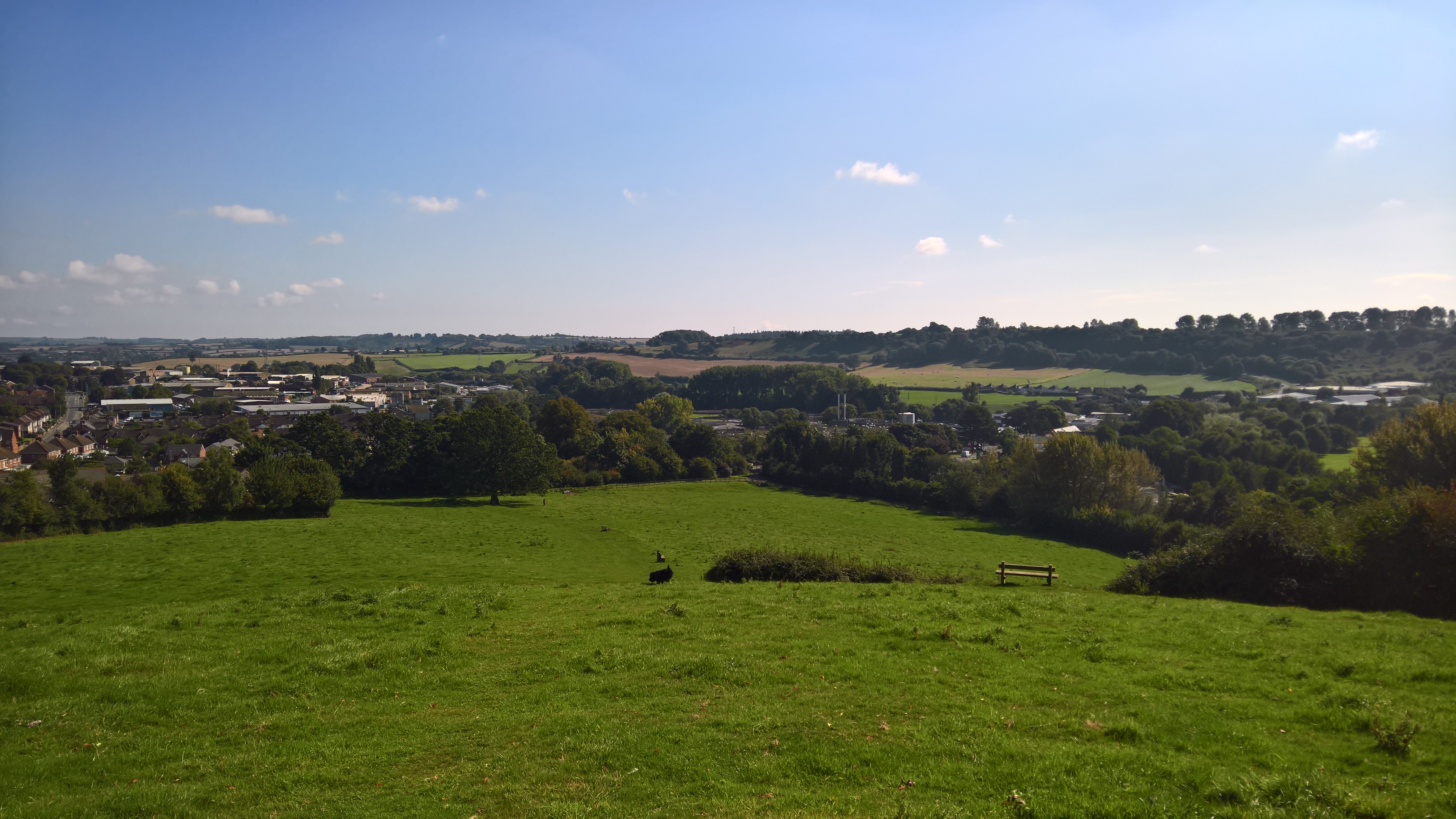
On the journey to the top, there are two benches upon which to rest, each with an ever widening view over the town and the neighbouring countryside.
Down at the bottom of the hill, however, there is one last archeological curio, now either buried or removed, as can be seen from a 1946 aerial photo.
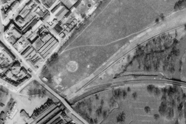
That circle is a wartime barrage balloon site, serviced by the little Nissen hut seen to its left, one of several put in place to protect Westlands airfield and factory.
Once at the top, you are finally among the glorious old lime trees…
…from where there is a true 360 degree panorama.
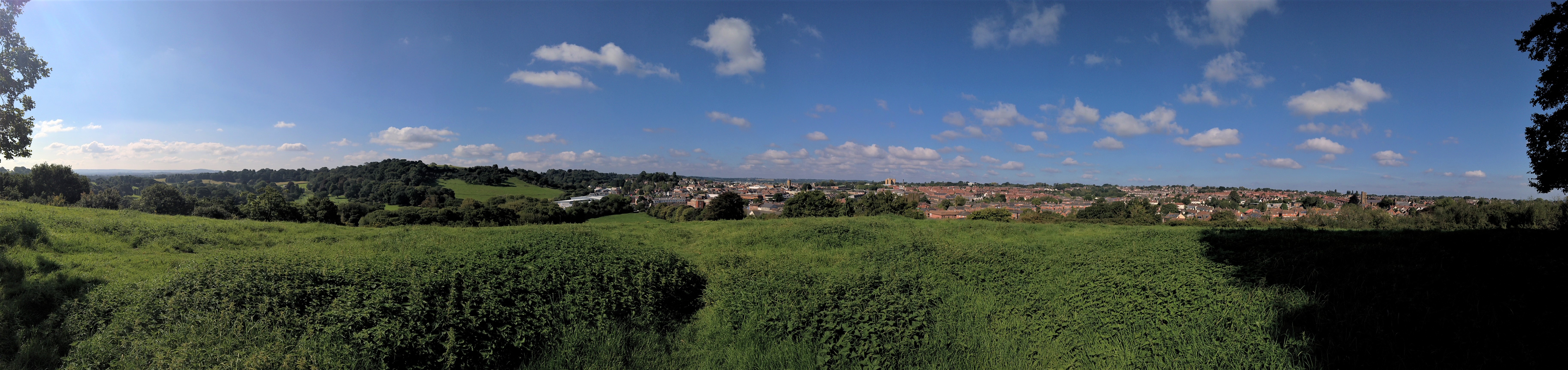
Looking north, there is Yeovil, of course, and to its left, Summerhouse Hill and the beginnings of the Newton Surmaville estate, while to the south…
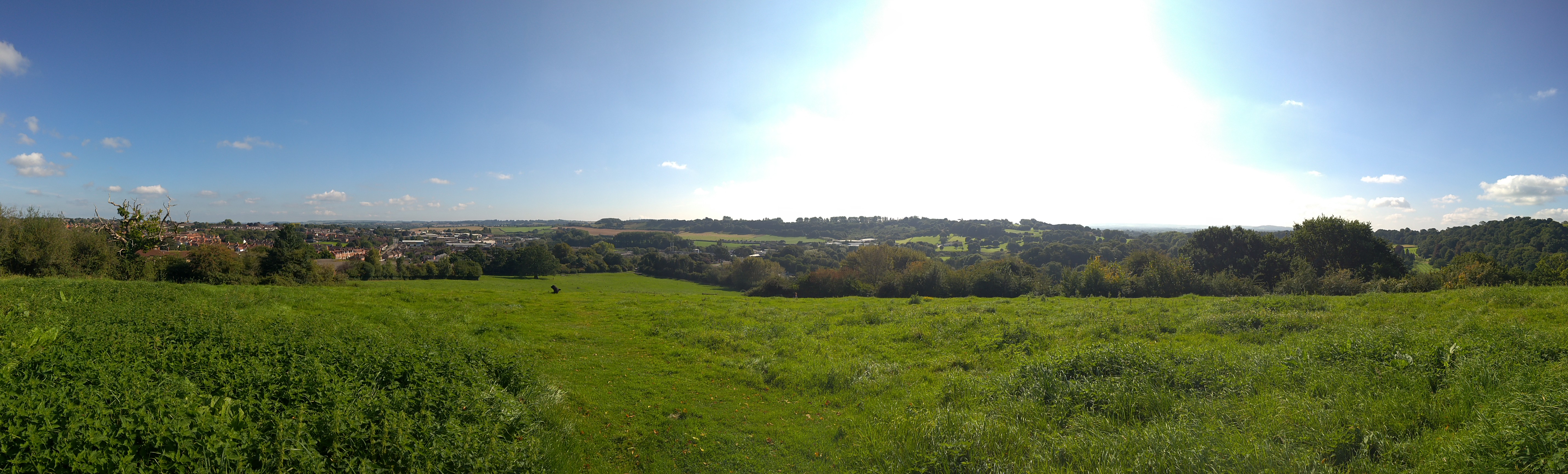
…the south-eastern tip of Yeovil to the left, the golf course to the right, and in the centre distance, the ancient ridgeway that is now the A30 that leads first to Sherborne, and then eventually all the way to London.
And then it’s time to head back down the hill, and to home.
Or, of course, to the pub.
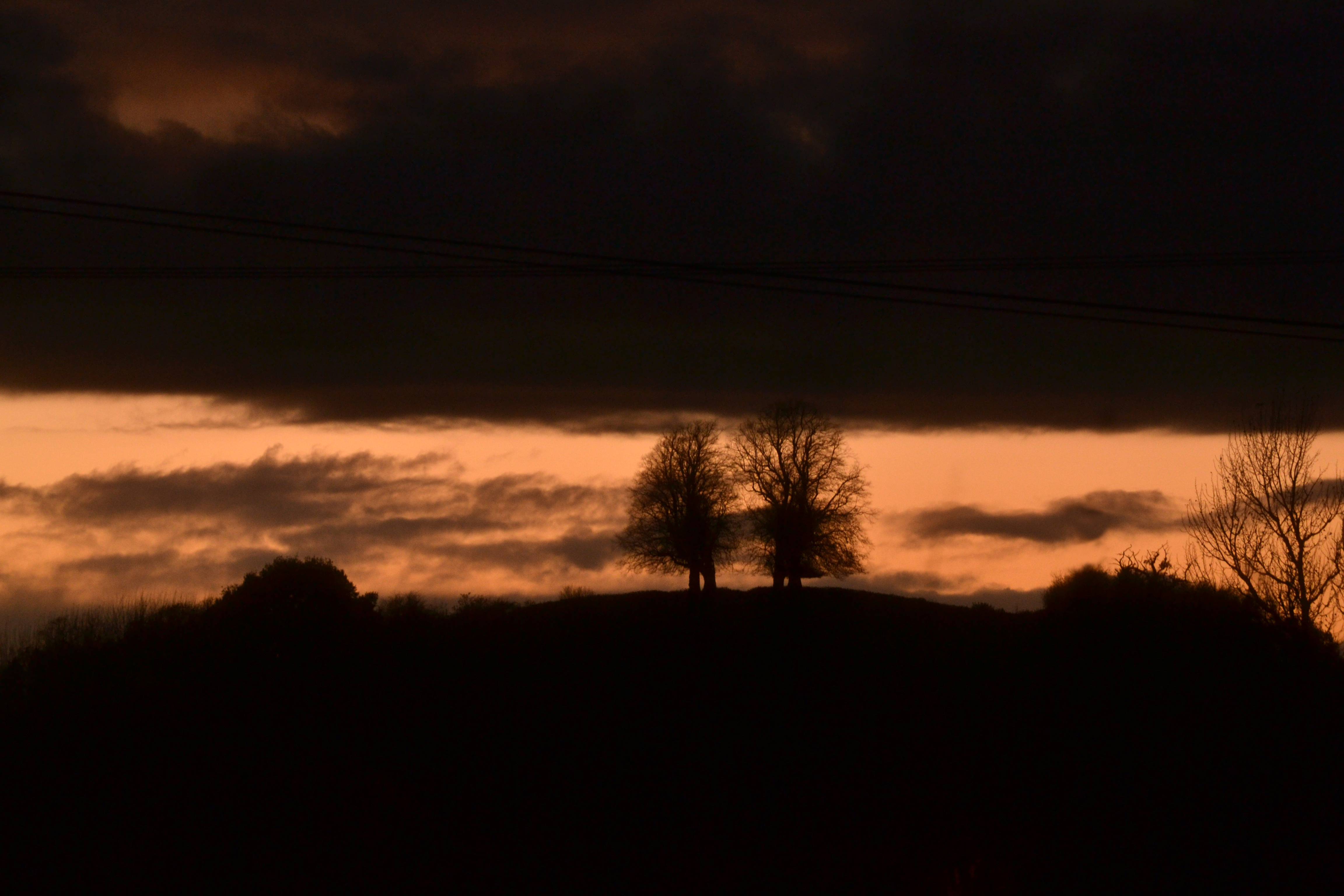
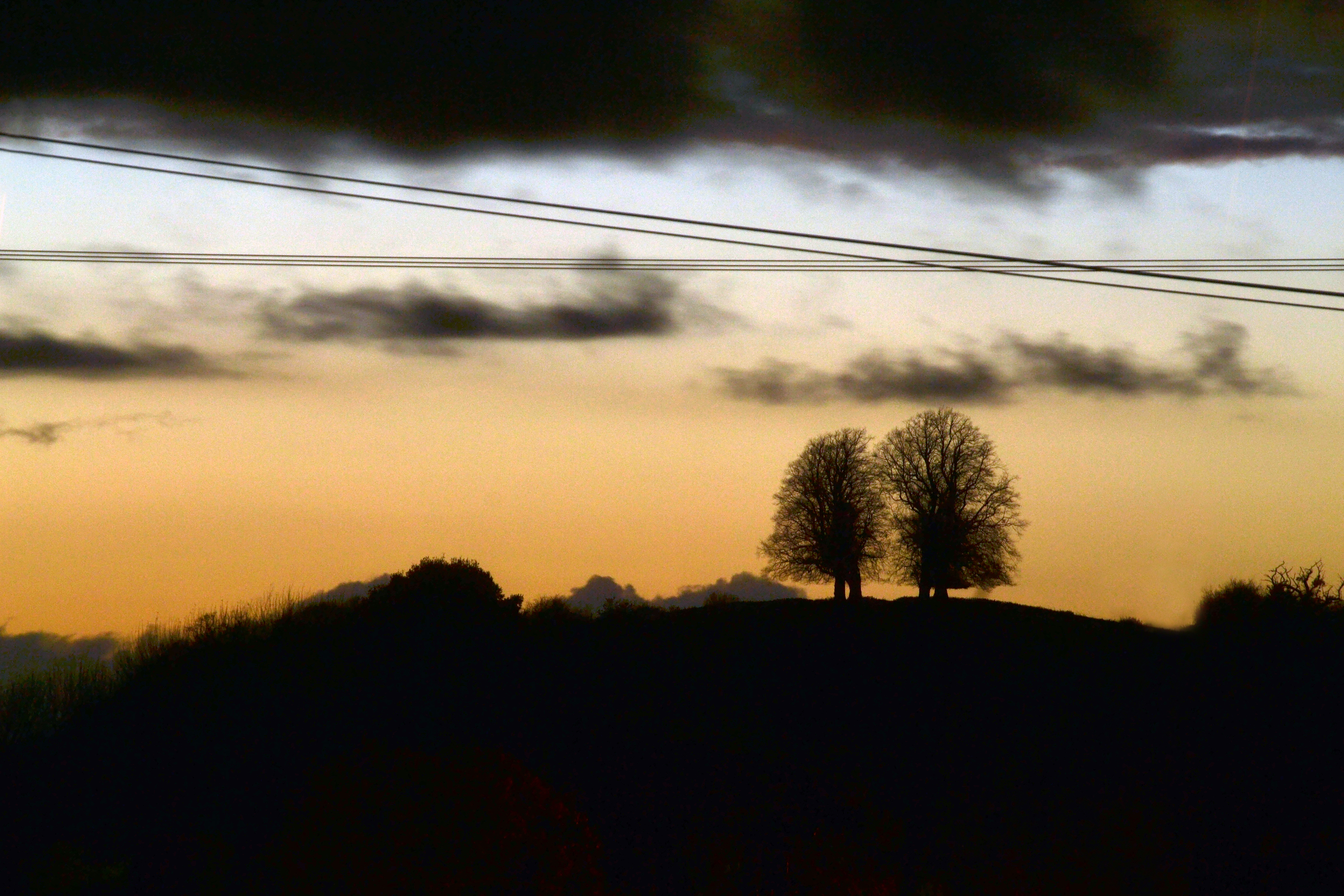
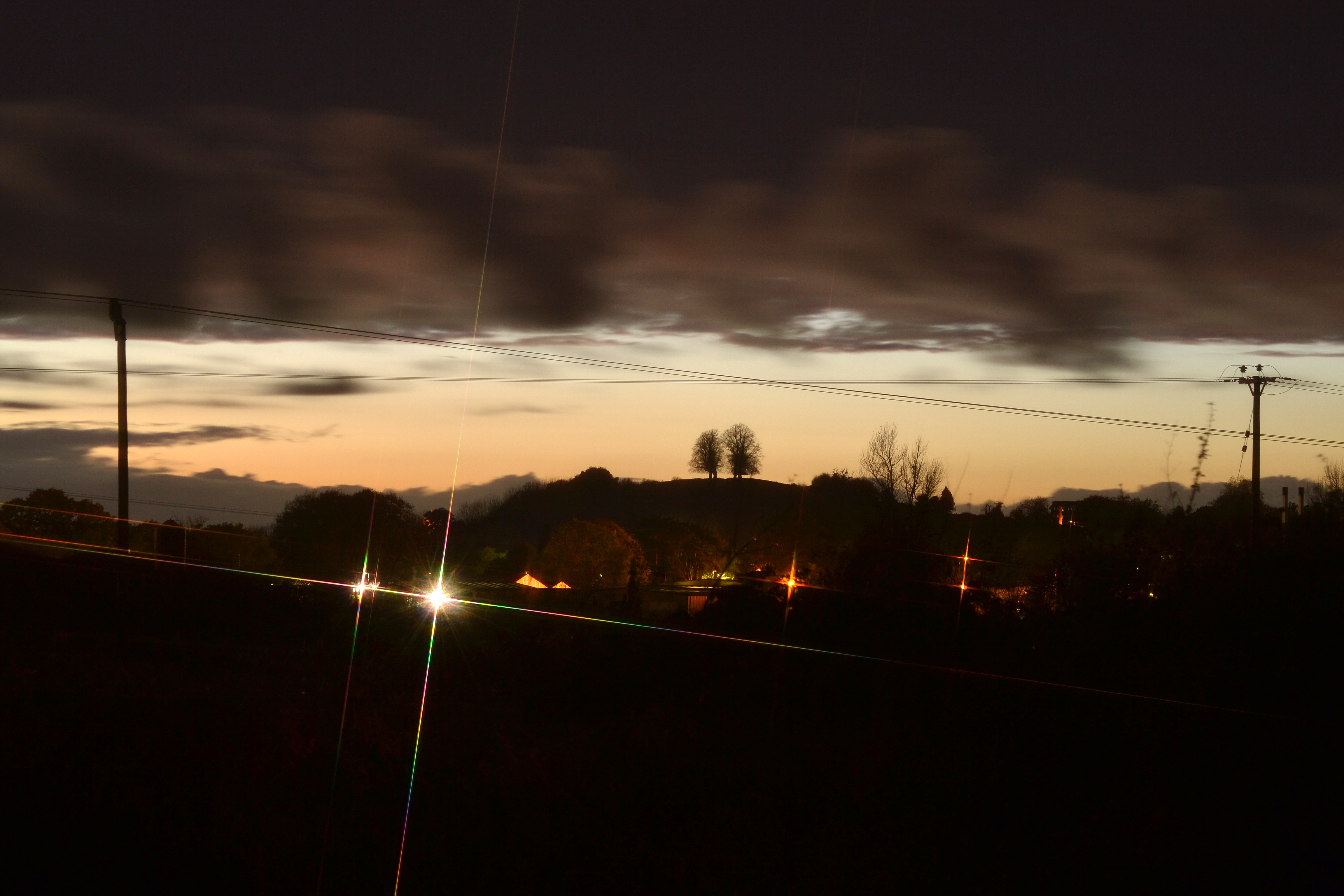
And finally, some gratuitous sunset shots, both from the hill…
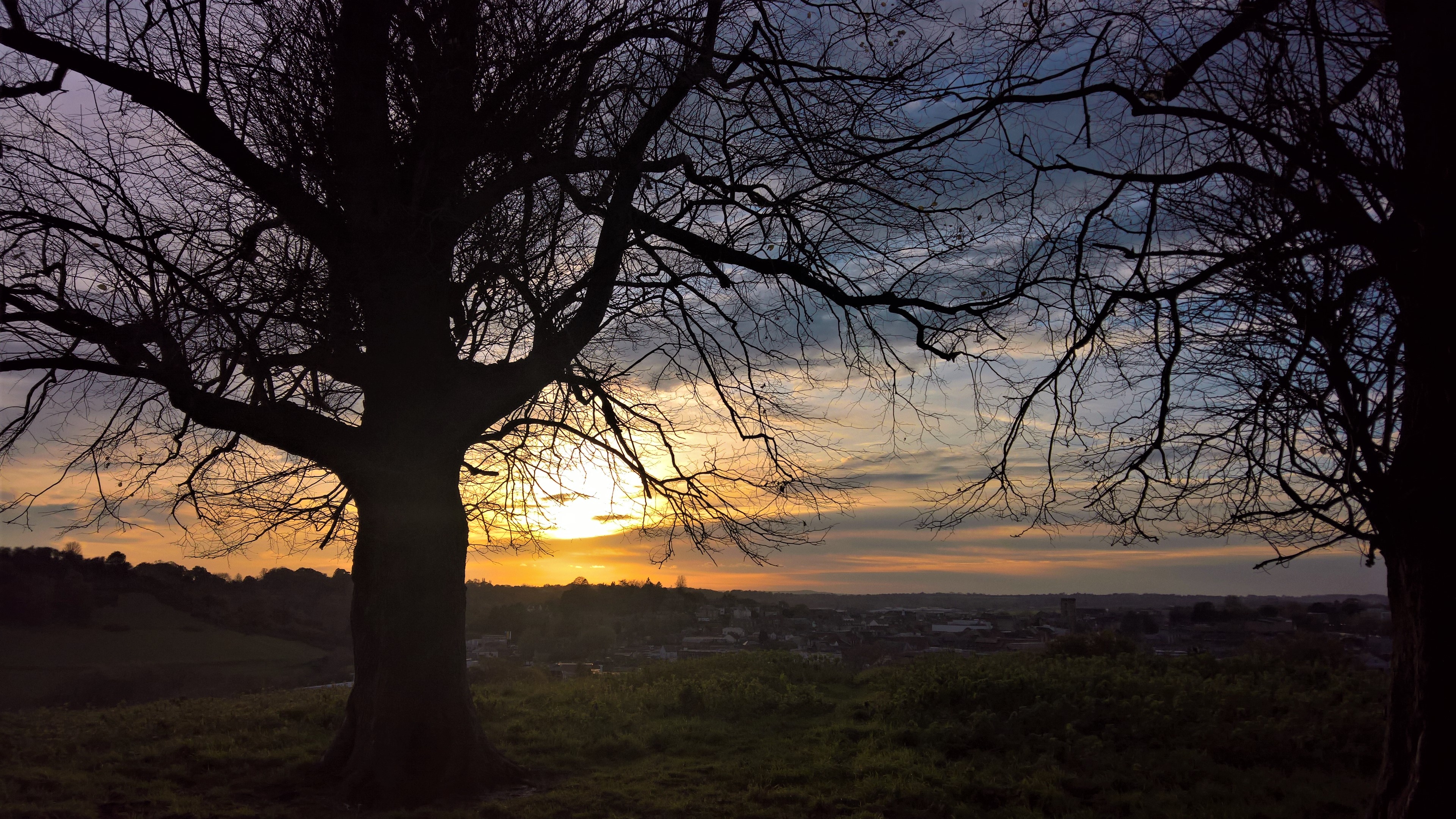
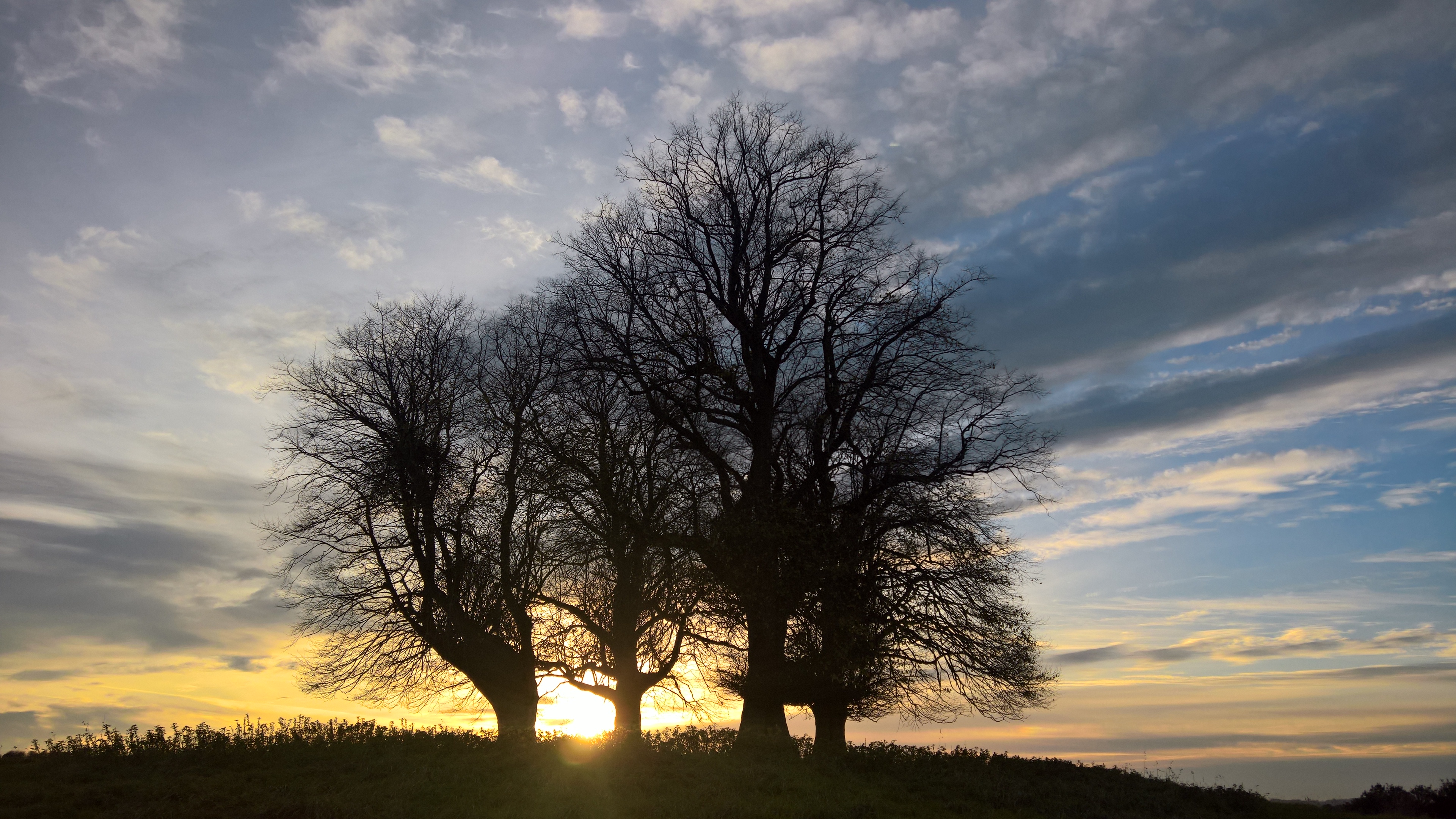
…and of it.
Acknowledgments:
Bob Osborn, as ever, for his invaluable A-Z of Yeovil’s History
The National Library of Scotland, for their wonderful interactive map collection
South Somerset District Council’s Yeovil Country Park, and its relentlessly helpful Countryside Team

What an awesome read, thanks for this, the hills of Yeovil are so magical as is your writing💖✨X
LikeLike
Thank you!
LikeLike
Hey. me and my friends go to the derelict building on the spur quite regularly and we wanted to know more about it. So I was wondering if you had heard anything back from the people you contacted.
Yours sincerely
Ryan
LikeLike
No, I never did I’m afraid.
LikeLike