After my rather successful ‘discovery’ of Dodham Brook the other day, I thought Woody and I would see what else we could find of beauty in Yeovil. I’d known about Sampson’s Wood for a while, on the map at least, but had never visited it. Again, it’s tucked away in the middle of a housing estate – how pretty could it be? Well, the answer is, really rather pretty indeed, especially with this newly arrived summer sun filtering through the rapidly blossoming canopy.
But, as with Dodham Brook, it doesn’t start so auspiciously, accessed as it is from Yew Tree Close. The car on the immediate left just has the three viable wheels…

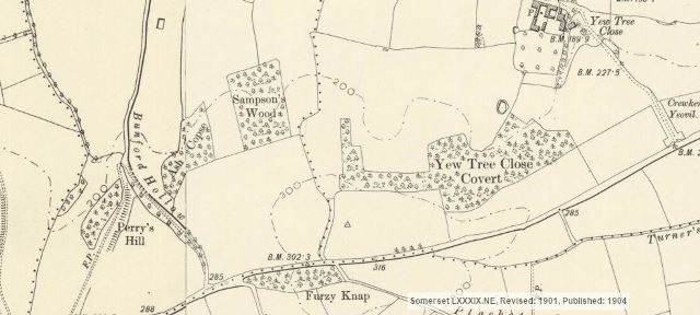
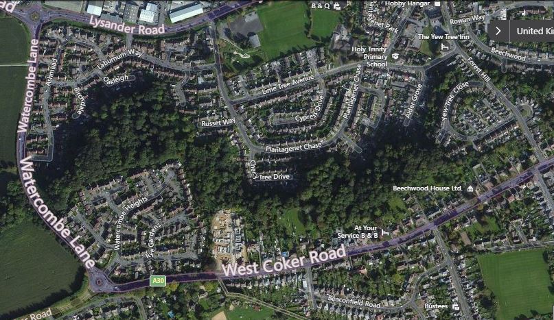
According to the 1904 map above, Yew Tree Close was the first housing within what is now the Forest Hill estate, but aside from the Yew Tree Inn, which sadly is no longer a pub, but a pre-school (?!)…

…nothing seems to remain of the early buildings. However, on conferring again with Bob Osborn’s ever excellent A-Z of Yeovil, it would seem that the Yew Tree Inn was originally the farmhouse for Yew Tree Farm, and the other buildings on the map were other farm buildings, now demolished.
But as with Dodham Brook, things immediately began to look up on entering the wood.
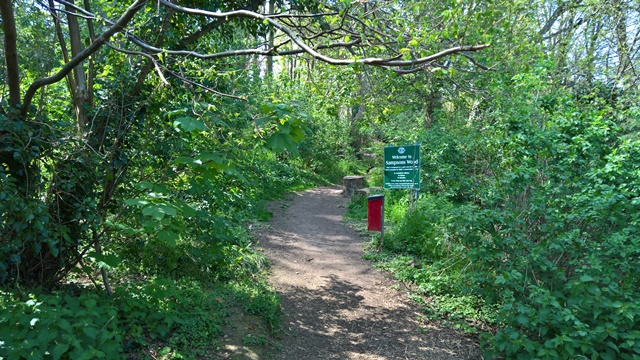
Somerset Council signs, check, dog bins, check, glorious broadleaf woodland, check…
Happy dog, check.
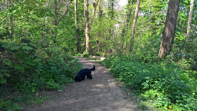
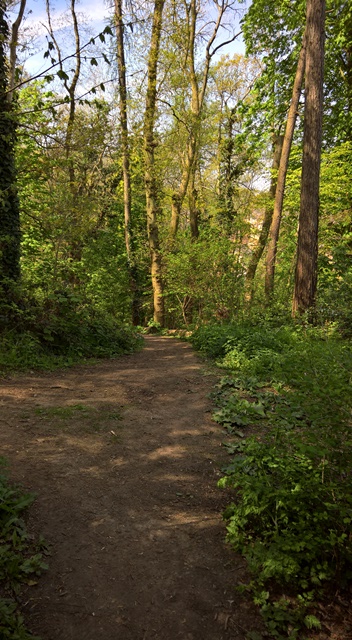
But despite the fact that you’re never quite out of sight of the surrounding houses, still you really feel like you’re in a proper wood. Which of course you are.

Of course, on standing at the top of the woods looking down the slope, I had the ‘doh!’ moment – of course, this was why the main road connecting West Coker Road to Lysander Way is called Forest Hill, because the estate was the cause of a forest being torn down. Grrrrrr, I thought – but no. Looking at the old maps, there was no forest, just the assorted small woods and coppices that dotted what was obviously a sizeable farm. There may well have been one in ancient times, but it would seem that Sampson’s Wood probably owes its survival, and enlargement, to the developers who built the estate that largely surrounds it in the 1980s, who were no doubt charged by the council with creating more woodland in return for permission to build. For if you look at the aerial map now, and indeed walk through the woods, those small coppices are now all joined up.
It is a wonderful discovery, and a great place in which to lose yourself for an hour or so among the trees, shrubs, and, at this time of year, bluebells, campion and myriad other wild flowers that abound on the site. But the overriding sensory impression, especially at this time of year, is one of gloriously all-pervading birdsong. Unfortunately I don’t seem to be able to upload video to this blog, but I’ve put it on my Facebook wall and set it to ‘public’.

Maybe upload to youtube and then embed the video? It’s a lovely blip of tranquillity. Your video not YouTube, obviously.
LikeLike
Yes, that would make sense. Tomorrow morning, when I have more bandwidth!
LikeLike